Property Record
701 N Main St, Lamar, CO 81052


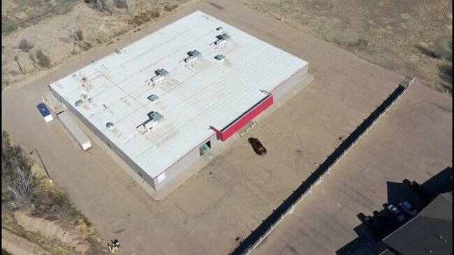
Property Detail
701 N Main St
2000-36-465
FOREST PARK PLACETRACT A PT OF LOT 1 APPROX 3.47AC M/L -BEG SE CORNER LOT 1 FOREST PARK PL-TH N90 DEG00'00 W 20.66AC TO PT TO
Industrialgeneral
Prowers
AE The base floodplain where base flood elevations are provided. AE Zones are now used on new format FIRMs instead of A1-A30 Zones.
Colorado
2025
1
2025
2.52 AC
000200
Colorado East Area
41,580 SF
Other Market Areas
NEARBY LISTINGS FOR SALE OR LEASE
-
-
View all Lamar listings for sale on LoopNet.com
DEMOGRAPHICS near 701 N Main St
1 mile
3 mile
5 mile
2024 Total Population
3,368
8,465
9,116
2029 Population
3,442
8,557
9,202
Pop Growth 2024-2029
+ 2.20%
+ 1.09%
+ 0.94%
Average Age
38
39
39
2024 Total Households
1,266
3,347
3,608
HH Growth 2024-2029
+ 2.21%
+ 1.05%
+ 0.91%
Median Household Inc
$64,662
$65,070
$65,619
Avg Household Size
2.60
2.40
2.40
2024 Avg HH Vehicles
2.00
2.00
2.00
Median Home Value
$93,289
$153,119
$157,507
Median Year Built
1958
1971
1971
Nearby Places
Map Layers
Map Styles
 Street
 Aerial
Transit
 Traffic
 Biking
Places
Listings with unknown addresses are not visible on the map
- Restaurants
- Banks
- Shops
- Fitness
- Groceries
PUBLIC TRANSPORTATION
COMMUTER RAIL
Drive
Walk
Distance
2 min
0.6 mi
SALE & LEASE HISTORY
LISTING DATE
SALE/LEASE

Oct 13, 2020
For Sale
Mar 31, 2020
For Lease
Jan 05, 2019
For Lease
Aug 12, 2020
For Sale
Apr 26, 2021
For Sale
Nearby Properties
Address
Land Use
TOTAL SIZE
Lot Size
Zoning
Address
Land Use
TOTAL SIZE
Lot Size
Zoning
32,995 SF
51.33 AC
Address
Land Use
TOTAL SIZE
Lot Size
Zoning
3,600 SF
22.78 AC
Address
Land Use
TOTAL SIZE
Lot Size
Zoning
113,804 SF
44.31 AC
Address
Land Use
TOTAL SIZE
Lot Size
Zoning
22,400 SF
19.08 AC
Address
Land Use
TOTAL SIZE
Lot Size
Zoning
14,829 SF
1.03 AC
Address
Land Use
TOTAL SIZE
Lot Size
Zoning
1.67 AC
Address
Land Use
TOTAL SIZE
Lot Size
Zoning
2,260 SF
4.63 AC
Address
Land Use
TOTAL SIZE
Lot Size
Zoning
112,642 SF
605.93 AC
Address
Land Use
TOTAL SIZE
Lot Size
Zoning
26,690 SF
2.07 AC
Address
Land Use
TOTAL SIZE
Lot Size
Zoning
40,446 SF
4.67 AC
Address
Land Use
TOTAL SIZE
Lot Size
Zoning
1,624 SF
2.06 AC
Address
Land Use
TOTAL SIZE
Lot Size
Zoning
8,252 SF
2.44 AC
Address
Land Use
TOTAL SIZE
Lot Size
Zoning
58,540 SF
Address
Land Use
TOTAL SIZE
Lot Size
Zoning
5,760 SF
3.10 AC
Address
Land Use
TOTAL SIZE
Lot Size
Zoning
93,984 SF
Address
Land Use
TOTAL SIZE
Lot Size
Zoning
11,675 SF
1.11 AC
Address
Land Use
TOTAL SIZE
Lot Size
Zoning
4,181 SF
17.18 AC
Address
Land Use
TOTAL SIZE
Lot Size
Zoning
4,058 SF
2.97 AC
Address
Land Use
TOTAL SIZE
Lot Size
Zoning
17,088 SF
2.05 AC
Address
Land Use
TOTAL SIZE
Lot Size
Zoning
7,134 SF
2.06 AC
Address
Land Use
TOTAL SIZE
Lot Size
Zoning
3,248 SF
2.37 AC
Address
Land Use
TOTAL SIZE
Lot Size
Zoning
9,600 SF
1.93 AC
Address
Land Use
TOTAL SIZE
Lot Size
Zoning
10,052 SF
1.02 AC
Address
Land Use
TOTAL SIZE
Lot Size
Zoning
15,603 SF
1.45 AC
Address
Land Use
TOTAL SIZE
Lot Size
Zoning
14,352 SF
7.88 AC
Address
Land Use
TOTAL SIZE
Lot Size
Zoning
34,899 SF
4.39 AC
Address
Land Use
TOTAL SIZE
Lot Size
Zoning
34,955 SF
1.99 AC
Address
Land Use
TOTAL SIZE
Lot Size
Zoning
12,000 SF
12.06 AC
Address
Land Use
TOTAL SIZE
Lot Size
Zoning
8,120 SF
1.72 AC
Address
Land Use
TOTAL SIZE
Lot Size
Zoning
18,372 SF
1.88 AC
The World's #1 Commercial Real Estate Marketplace
Connect with us
© 2026 CoStar Group
The information above has been obtained from sources believed reliable. While we do not doubt its accuracy we have not verified it and make no guarantee, warranty or representation about it. It is your responsibility to independently confirm its accuracy and completeness. Any projections, opinions, assumptions, or estimates used are for example only and do not represent the current or future performance of the property. The value of this transaction to you depends on tax and other factors which should be evaluated by your tax, financial, and legal advisors. You and your advisors should conduct a careful, independent investigation of the property to determine to your satisfaction the suitability of the property for your needs.