Property Record
7010 Sheridan Rd, White Hall, AR 71602

Save to a Folder
{{folder.Name}}
{{folder.ListingIds.length}} Properties
{{folder.ListingIds.length}} Property
Create a New Folder
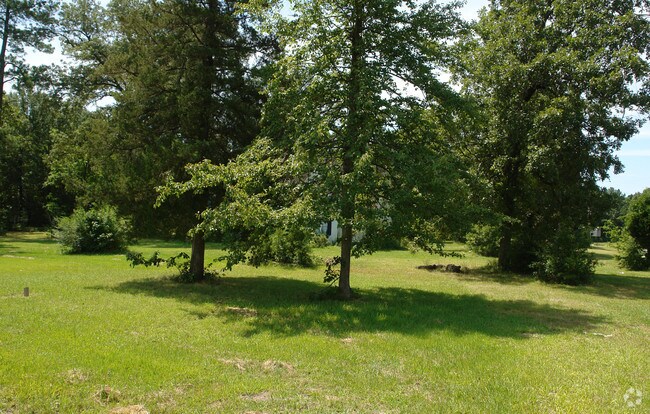
Property Detail
7010 Sheridan Rd
970-15665-000
BEG 482.43 FT W OF SE COR NE NE TH N 194 FT W 16.9 FT N 471.9 FT TO S R/W OF HWY 270 TH N 63 DEGS 30 MINS W ALG SD R/W 345.7
Financialbuilding
Jefferson
B and X Area of moderate flood hazard, usually the area between the limits of the 100-year and 500-year floods.
Arkansas
2025
5.21 AC
2025
Arkansas South Area
000303
Other Market Areas
4,164 SF
Pine Bluff, AR
NEARBY LISTINGS FOR SALE OR LEASE
-
-
View all White Hall listings for sale on LoopNet.com
DEMOGRAPHICS near 7010 Sheridan Rd
1 mile
3 mile
5 mile
2025 Total Population
2,679
11,983
27,270
2030 Population
2,532
11,514
26,507
Pop Growth 2025-2030
(5.49%)
(3.91%)
(2.80%)
Average Age
39
40
40
2025 Total Households
1,056
4,271
10,036
HH Growth 2025-2030
(5.40%)
(4.40%)
(3.07%)
Median Household Inc
$54,094
$54,972
$45,996
Avg Household Size
2.40
2.40
2.30
2025 Avg HH Vehicles
2.00
2.00
2.00
Median Home Value
$211,677
$141,017
$96,873
Median Year Built
1992
1984
1977
Nearby Places
Map Layers
Map Styles
 Street
 Aerial
Layers
 Traffic
 Biking
Places
Listings with unknown addresses are not visible on the map
- Restaurants
- Banks
- Shops
- Fitness
- Groceries
Nearby Properties
Address
Land Use
TOTAL SIZE
Lot Size
Zoning
Address
Land Use
TOTAL SIZE
Lot Size
Zoning
40,641 SF
5.26 AC
Address
Land Use
TOTAL SIZE
Lot Size
Zoning
22,610 SF
78 AC
Address
Land Use
TOTAL SIZE
Lot Size
Zoning
30,518 SF
14.87 AC
Address
Land Use
TOTAL SIZE
Lot Size
Zoning
235,108 SF
40.37 AC
Address
Land Use
TOTAL SIZE
Lot Size
Zoning
35,320 SF
40 AC
Address
Land Use
TOTAL SIZE
Lot Size
Zoning
49,788 SF
1.55 AC
Address
Land Use
TOTAL SIZE
Lot Size
Zoning
8,532 SF
10.72 AC
Address
Land Use
TOTAL SIZE
Lot Size
Zoning
52,400 SF
1.66 AC
Address
Land Use
TOTAL SIZE
Lot Size
Zoning
1,278 SF
8 AC
Address
Land Use
TOTAL SIZE
Lot Size
Zoning
233,430 SF
19.30 AC
Address
Land Use
TOTAL SIZE
Lot Size
Zoning
864 SF
5.26 AC
Address
Land Use
TOTAL SIZE
Lot Size
Zoning
16,336 SF
5.79 AC
Address
Land Use
TOTAL SIZE
Lot Size
Zoning
39,026 SF
2.76 AC
Address
Land Use
TOTAL SIZE
Lot Size
Zoning
50,688 SF
3.27 AC
Address
Land Use
TOTAL SIZE
Lot Size
Zoning
15,383 SF
11.43 AC
Address
Land Use
TOTAL SIZE
Lot Size
Zoning
10,713 SF
2.89 AC
Address
Land Use
TOTAL SIZE
Lot Size
Zoning
33,537 SF
1.35 AC
Address
Land Use
TOTAL SIZE
Lot Size
Zoning
7,058 SF
5.82 AC
Address
Land Use
TOTAL SIZE
Lot Size
Zoning
4,956 SF
1.95 AC
Address
Land Use
TOTAL SIZE
Lot Size
Zoning
63,609 SF
9.61 AC
Address
Land Use
TOTAL SIZE
Lot Size
Zoning
122,168 SF
11.03 AC
Address
Land Use
TOTAL SIZE
Lot Size
Zoning
27,048 SF
2.46 AC
Address
Land Use
TOTAL SIZE
Lot Size
Zoning
24,600 SF
2.77 AC
Address
Land Use
TOTAL SIZE
Lot Size
Zoning
10,800 SF
3.64 AC
Address
Land Use
TOTAL SIZE
Lot Size
Zoning
8,847 SF
2.01 AC
Address
Land Use
TOTAL SIZE
Lot Size
Zoning
3,240 SF
33.19 AC
Address
Land Use
TOTAL SIZE
Lot Size
Zoning
11,954 SF
1.92 AC
Address
Land Use
TOTAL SIZE
Lot Size
Zoning
15,387 SF
2.13 AC
The World's #1 Commercial Real Estate Marketplace
Connect with us
© 2026 CoStar Group
The information above has been obtained from sources believed reliable. While we do not doubt its accuracy we have not verified it and make no guarantee, warranty or representation about it. It is your responsibility to independently confirm its accuracy and completeness. Any projections, opinions, assumptions, or estimates used are for example only and do not represent the current or future performance of the property. The value of this transaction to you depends on tax and other factors which should be evaluated by your tax, financial, and legal advisors. You and your advisors should conduct a careful, independent investigation of the property to determine to your satisfaction the suitability of the property for your needs.