Property Record
70963 Highway 59, Covington, LA 70433
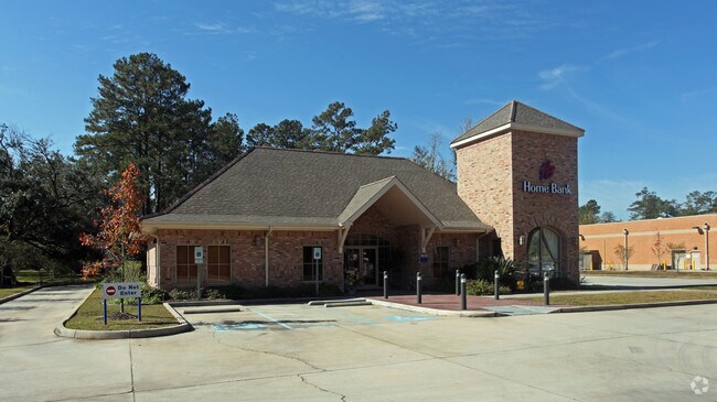

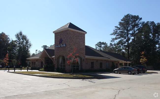
Property Detail
70963 Highway 59
Slidell-Mandeville-Covington, LA
LOT 1A SQ 31 CONT 1.59 AC M/L SEC 12 7 11 BIRG BO
33453
ST TAMMANY
Commercialnec
Louisiana
2025
1a
2025
1.60 AC
040602
Mandeville/Covington
4,639 SF
New Orleans/Metairie/Kenner
NEARBY LISTINGS FOR SALE OR LEASE
DEMOGRAPHICS near 70963 Highway 59
1 mile
3 mile
5 mile
2025 Total Population
4,018
22,757
53,692
2030 Population
4,150
23,432
55,506
Pop Growth 2025-2030
+ 3.29%
+ 2.97%
+ 3.38%
Average Age
42
41
41
2025 Total Households
1,583
9,214
21,140
HH Growth 2025-2030
+ 3.22%
+ 2.91%
+ 3.43%
Median Household Inc
$79,329
$72,834
$82,257
Avg Household Size
2.50
2.40
2.50
2025 Avg HH Vehicles
2.00
2.00
2.00
Median Home Value
$267,837
$253,684
$314,212
Median Year Built
1995
1997
1995
Nearby Places
Map Layers
Map Styles
 Street
 Aerial
Layers
 Traffic
 Biking
Places
Listings with unknown addresses are not visible on the map
- Restaurants
- Banks
- Shops
- Fitness
- Groceries
Nearby Properties
Address
Land Use
TOTAL SIZE
Lot Size
Zoning
Address
Land Use
TOTAL SIZE
Lot Size
Zoning
515,547 SF
20.54 AC
Address
Land Use
TOTAL SIZE
Lot Size
Zoning
Address
Land Use
TOTAL SIZE
Lot Size
Zoning
86,167 SF
0.71 AC
Address
Land Use
TOTAL SIZE
Lot Size
Zoning
68,478 SF
6.64 AC
Address
Land Use
TOTAL SIZE
Lot Size
Zoning
102,470 SF
10.50 AC
Address
Land Use
TOTAL SIZE
Lot Size
Zoning
205,612 SF
23.60 AC
Address
Land Use
TOTAL SIZE
Lot Size
Zoning
114,823 SF
4.57 AC
Address
Land Use
TOTAL SIZE
Lot Size
Zoning
121,705 SF
21.20 AC
Address
Land Use
TOTAL SIZE
Lot Size
Zoning
119,501 SF
20.38 AC
Address
Land Use
TOTAL SIZE
Lot Size
Zoning
86,688 SF
3.75 AC
Address
Land Use
TOTAL SIZE
Lot Size
Zoning
114,727 SF
4.46 AC
Address
Land Use
TOTAL SIZE
Lot Size
Zoning
Address
Land Use
TOTAL SIZE
Lot Size
Zoning
70,689 SF
2.90 AC
Address
Land Use
TOTAL SIZE
Lot Size
Zoning
42,513 SF
7.07 AC
Address
Land Use
TOTAL SIZE
Lot Size
Zoning
148,494 SF
15.43 AC
Address
Land Use
TOTAL SIZE
Lot Size
Zoning
142 SF
2 AC
Address
Land Use
TOTAL SIZE
Lot Size
Zoning
46,570 SF
2 AC
Address
Land Use
TOTAL SIZE
Lot Size
Zoning
107,528 SF
11.24 AC
Address
Land Use
TOTAL SIZE
Lot Size
Zoning
78,658 SF
12.12 AC
Address
Land Use
TOTAL SIZE
Lot Size
Zoning
38,794 SF
2.79 AC
Address
Land Use
TOTAL SIZE
Lot Size
Zoning
58,295 SF
Address
Land Use
TOTAL SIZE
Lot Size
Zoning
37,377 SF
2.81 AC
Address
Land Use
TOTAL SIZE
Lot Size
Zoning
100,990 SF
13.80 AC
Address
Land Use
TOTAL SIZE
Lot Size
Zoning
37,942 SF
1.10 AC
Address
Land Use
TOTAL SIZE
Lot Size
Zoning
41,762 SF
6.32 AC
Address
Land Use
TOTAL SIZE
Lot Size
Zoning
111,546 SF
7.92 AC
Address
Land Use
TOTAL SIZE
Lot Size
Zoning
21,725 SF
5 AC
Address
Land Use
TOTAL SIZE
Lot Size
Zoning
60,580 SF
1.71 AC
Address
Land Use
TOTAL SIZE
Lot Size
Zoning
31,783 SF
2.29 AC
Address
Land Use
TOTAL SIZE
Lot Size
Zoning
76,234 SF
5.77 AC
The World's #1 Commercial Real Estate Marketplace
Connect with us
© 2026 CoStar Group
The information above has been obtained from sources believed reliable. While we do not doubt its accuracy we have not verified it and make no guarantee, warranty or representation about it. It is your responsibility to independently confirm its accuracy and completeness. Any projections, opinions, assumptions, or estimates used are for example only and do not represent the current or future performance of the property. The value of this transaction to you depends on tax and other factors which should be evaluated by your tax, financial, and legal advisors. You and your advisors should conduct a careful, independent investigation of the property to determine to your satisfaction the suitability of the property for your needs.