Property Record
71 Commerce Dr, Uxbridge, MA 01569

Property Detail
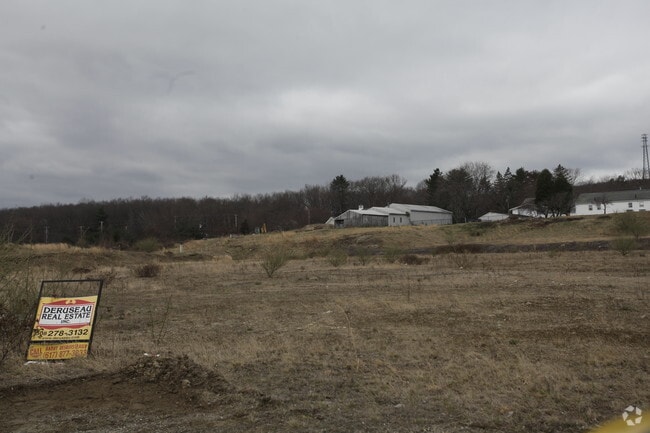
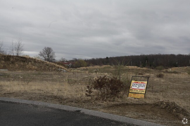
71 Commerce Dr
Commercialbuilding
Worcester
I
Massachusetts
B and X Area of moderate flood hazard, usually the area between the limits of the 100-year and 500-year floods.
1.46 AC
2025
Outlying Worcester
2025
Boston
749100
Worcester, MA
7,440 SF
UXBR-000400-002865
NEARBY LISTINGS FOR SALE OR LEASE
DEMOGRAPHICS near 71 Commerce Dr
1 mile
3 mile
5 mile
2025 Total Population
677
13,943
39,473
2030 Population
714
14,429
40,740
Pop Growth 2025-2030
+ 5.47%
+ 3.49%
+ 3.21%
Average Age
43
42
43
2025 Total Households
257
5,264
15,408
HH Growth 2025-2030
+ 5.45%
+ 3.53%
+ 3.26%
Median Household Inc
$145,121
$127,722
$118,415
Avg Household Size
2.60
2.60
2.50
2025 Avg HH Vehicles
2.00
2.00
2.00
Median Home Value
$517,094
$476,796
$465,795
Median Year Built
1995
1984
1980
Nearby Places
Map Layers
Map Styles
 Street
 Aerial
Layers
 Traffic
 Biking
Places
Listings with unknown addresses are not visible on the map
- Restaurants
- Banks
- Shops
- Fitness
- Groceries
PUBLIC TRANSPORTATION
AIRPORT
Worcester Regional
Drive
Walk
Distance
Worcester Regional
37 min
25.3 mi
Rhode Island Tf Green International
Drive
Walk
Distance
Rhode Island Tf Green International
42 min
28.6 mi
Freight Ports
Port of Davisville, RI
Drive
Walk
Distance
Port of Davisville, RI
56 min
40.5 mi
Nearby Properties
Address
Land Use
TOTAL SIZE
Lot Size
Zoning
Address
Land Use
TOTAL SIZE
Lot Size
Zoning
450,800 SF
56.41 AC
I
Address
Land Use
TOTAL SIZE
Lot Size
Zoning
602,336 SF
204.50 AC
B
Address
Land Use
TOTAL SIZE
Lot Size
Zoning
108.65 AC
RC
Address
Land Use
TOTAL SIZE
Lot Size
Zoning
192,817 SF
36.30 AC
RA
Address
Land Use
TOTAL SIZE
Lot Size
Zoning
48,071 SF
44.42 AC
I
Address
Land Use
TOTAL SIZE
Lot Size
Zoning
27,720 SF
4.36 AC
I
Address
Land Use
TOTAL SIZE
Lot Size
Zoning
75,977 SF
12.90 AC
RB
Address
Land Use
TOTAL SIZE
Lot Size
Zoning
119,200 SF
16.15 AC
I
Address
Land Use
TOTAL SIZE
Lot Size
Zoning
93,424 SF
6.90 AC
I
Address
Land Use
TOTAL SIZE
Lot Size
Zoning
28,468 SF
1.24 AC
I
Address
Land Use
TOTAL SIZE
Lot Size
Zoning
42,837 SF
6.34 AC
RS
Address
Land Use
TOTAL SIZE
Lot Size
Zoning
25,100 SF
7.40 AC
I
Address
Land Use
TOTAL SIZE
Lot Size
Zoning
25,601 SF
9.26 AC
RB
Address
Land Use
TOTAL SIZE
Lot Size
Zoning
52,041 SF
47.80 AC
VRD
Address
Land Use
TOTAL SIZE
Lot Size
Zoning
45,960 SF
2.88 AC
RA
Address
Land Use
TOTAL SIZE
Lot Size
Zoning
64,110 SF
6 AC
I
Address
Land Use
TOTAL SIZE
Lot Size
Zoning
70,000 SF
5.84 AC
I
Address
Land Use
TOTAL SIZE
Lot Size
Zoning
9,464 SF
53.10 AC
AG
Address
Land Use
TOTAL SIZE
Lot Size
Zoning
33,552 SF
7.87 AC
I
Address
Land Use
TOTAL SIZE
Lot Size
Zoning
53,875 SF
5.42 AC
C
Address
Land Use
TOTAL SIZE
Lot Size
Zoning
7,176 SF
4.55 AC
I
Address
Land Use
TOTAL SIZE
Lot Size
Zoning
56.47 AC
RES
Address
Land Use
TOTAL SIZE
Lot Size
Zoning
22,680 SF
29.31 AC
RC
Address
Land Use
TOTAL SIZE
Lot Size
Zoning
44,302 SF
7.10 AC
RA
Address
Land Use
TOTAL SIZE
Lot Size
Zoning
17,987 SF
I
Address
Land Use
TOTAL SIZE
Lot Size
Zoning
13,704 SF
12.91 AC
RB
Address
Land Use
TOTAL SIZE
Lot Size
Zoning
44,740 SF
3.59 AC
I
Address
Land Use
TOTAL SIZE
Lot Size
Zoning
43,654 SF
5.29 AC
I
Address
Land Use
TOTAL SIZE
Lot Size
Zoning
17,924 SF
5.62 AC
I
Address
Land Use
TOTAL SIZE
Lot Size
Zoning
18,424 SF
4.93 AC
RC
The World's #1 Commercial Real Estate Marketplace
Connect with us
© 2026 CoStar Group
The information above has been obtained from sources believed reliable. While we do not doubt its accuracy we have not verified it and make no guarantee, warranty or representation about it. It is your responsibility to independently confirm its accuracy and completeness. Any projections, opinions, assumptions, or estimates used are for example only and do not represent the current or future performance of the property. The value of this transaction to you depends on tax and other factors which should be evaluated by your tax, financial, and legal advisors. You and your advisors should conduct a careful, independent investigation of the property to determine to your satisfaction the suitability of the property for your needs.