Property Record
71 E 16Th St, Chicago, IL 60616
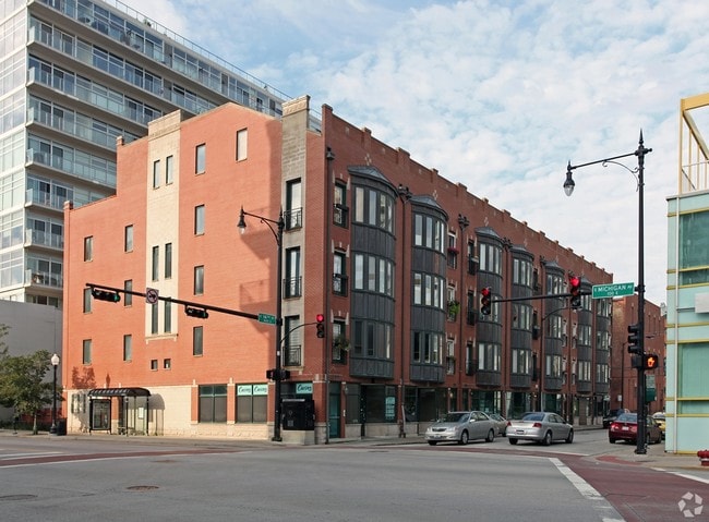

Property Detail
71 E 16Th St
17-22-301-059-1001
Cook
Commercialcondominium
Illinois
DX-5
1,2
B and X Area of moderate flood hazard, usually the area between the limits of the 100-year and 500-year floods.
0.61 AC
2023
South Loop
2025
Chicago
330103
Chicago-Naperville-Elgin, IL-IN
898 SF
NEARBY LISTINGS FOR SALE OR LEASE
DEMOGRAPHICS near 71 E 16Th St
1 mile
3 mile
5 mile
2025 Total Population
54,587
342,273
748,416
2030 Population
55,928
348,181
747,787
Pop Growth 2025-2030
+ 2.46%
+ 1.73%
(0.08%)
Average Age
39
38
37
2025 Total Households
29,344
180,346
355,224
HH Growth 2025-2030
+ 2.51%
+ 1.90%
+ 0.34%
Median Household Inc
$108,038
$107,746
$96,044
Avg Household Size
1.80
1.80
2.00
2025 Avg HH Vehicles
1.00
1.00
1.00
Median Home Value
$435,328
$464,918
$453,829
Median Year Built
2001
1990
1972
Nearby Places
Map Layers
Map Styles
 Street
 Aerial
Transit
 Traffic
 Biking
Places
Listings with unknown addresses are not visible on the map
- Restaurants
- Banks
- Shops
- Fitness
- Groceries
PUBLIC TRANSPORTATION
TRANSIT/SUBWAY
Roosevelt Station (Green, Orange Lines) (Green Line - Chicago Transit Authority "L" Trains (The "L"), Orange Line - Chicago Transit Authority "L" Trains (The "L"))
Drive
Walk
Distance
Roosevelt Station (Green, Orange Lines) (Green Line - Chicago Transit Authority "L" Trains (The "L"), Orange Line - Chicago Transit Authority "L" Trains (The "L"))
2 min
11 min
0.6 mi
Roosevelt Station (Red Line) (Red Line - Chicago Transit Authority "L" Trains (The "L"))
Drive
Walk
Distance
Roosevelt Station (Red Line) (Red Line - Chicago Transit Authority "L" Trains (The "L"))
2 min
12 min
0.6 mi
18th Street Station (Metra Electric Line - Northeast Illinois Regional Commuter Railroad (Metra))
Drive
Walk
Distance
18th Street Station (Metra Electric Line - Northeast Illinois Regional Commuter Railroad (Metra))
5 min
12 min
0.6 mi
Cermak-Chinatown Station (Red Line - Chicago Transit Authority "L" Trains (The "L"))
Drive
Walk
Distance
Cermak-Chinatown Station (Red Line - Chicago Transit Authority "L" Trains (The "L"))
3 min
14 min
0.8 mi
Museum Campus/11th St Station (Metra Electric Line - Northeast Illinois Regional Commuter Railroad (Metra))
Drive
Walk
Distance
Museum Campus/11th St Station (Metra Electric Line - Northeast Illinois Regional Commuter Railroad (Metra))
4 min
15 min
0.8 mi
COMMUTER RAIL
Halsted Station (Burlington Northern-Santa Fe Railway Line - Northeast Illinois Regional Commuter Railroad (Metra))
Drive
Walk
Distance
Halsted Station (Burlington Northern-Santa Fe Railway Line - Northeast Illinois Regional Commuter Railroad (Metra))
5 min
1.4 mi
Chicago LaSalle Station (Rock Island District Line - Northeast Illinois Regional Commuter Railroad (Metra))
Drive
Walk
Distance
Chicago LaSalle Station (Rock Island District Line - Northeast Illinois Regional Commuter Railroad (Metra))
5 min
1.5 mi
AIRPORT
Chicago Midway International
Drive
Walk
Distance
Chicago Midway International
19 min
9.7 mi
Chicago O'Hare International
Drive
Walk
Distance
Chicago O'Hare International
27 min
19.6 mi
Freight Ports
Port of Baltimore
Drive
Walk
Distance
Port of Baltimore
1 min
605.5 mi
SALE & LEASE HISTORY
LISTING DATE
SALE/LEASE

Sep 25, 2016
For Lease
May 04, 2017
For Sale
Mar 31, 2017
For Lease
Jun 25, 2025
For Sale
Jun 18, 2025
For Sale
Jan 03, 2024
For Lease
Dec 16, 2024
For Lease
Aug 22, 2019
For Sale
Aug 05, 2017
For Sale
Apr 02, 2025
For Lease
Nearby Properties
Address
Land Use
TOTAL SIZE
Lot Size
Zoning
Address
Land Use
TOTAL SIZE
Lot Size
Zoning
4,667,723 SF
2.94 AC
DC-16
Address
Land Use
TOTAL SIZE
Lot Size
Zoning
3,457,865 SF
3.74 AC
PD 70
Address
Land Use
TOTAL SIZE
Lot Size
Zoning
1,546,909 SF
0.98 AC
PD 1369
Address
Land Use
TOTAL SIZE
Lot Size
Zoning
1,496,448 SF
2 AC
PD 376
Address
Land Use
TOTAL SIZE
Lot Size
Zoning
1,396,750 SF
4.09 AC
PD 98
Address
Land Use
TOTAL SIZE
Lot Size
Zoning
1,362,475 SF
1.97 AC
PD 1226
Address
Land Use
TOTAL SIZE
Lot Size
Zoning
2,343,906 SF
2.32 AC
PD 70
Address
Land Use
TOTAL SIZE
Lot Size
Zoning
4,296,046 SF
6.15 AC
DC-16
Address
Land Use
TOTAL SIZE
Lot Size
Zoning
3,914,400 SF
5.70 AC
DC-16
Address
Land Use
TOTAL SIZE
Lot Size
Zoning
1,810,145 SF
1.03 AC
PD 365
Address
Land Use
TOTAL SIZE
Lot Size
Zoning
3,090,691 SF
3.30 AC
PD 377,PD
Address
Land Use
TOTAL SIZE
Lot Size
Zoning
1,215,367 SF
3.76 AC
PD 675
Address
Land Use
TOTAL SIZE
Lot Size
Zoning
0.82 AC
PD 1115
Address
Land Use
TOTAL SIZE
Lot Size
Zoning
0.88 AC
DC-16,PD 9
Address
Land Use
TOTAL SIZE
Lot Size
Zoning
2,750,656 SF
6.29 AC
PD 1065
Address
Land Use
TOTAL SIZE
Lot Size
Zoning
831,084 SF
2.05 AC
PD 316
Address
Land Use
TOTAL SIZE
Lot Size
Zoning
1,888,207 SF
2.03 AC
PD 264
Address
Land Use
TOTAL SIZE
Lot Size
Zoning
1,600,546 SF
1.04 AC
PD 191
Address
Land Use
TOTAL SIZE
Lot Size
Zoning
1,231,710 SF
2.01 AC
PD 27
Address
Land Use
TOTAL SIZE
Lot Size
Zoning
590,844 SF
0.80 AC
PD 26
Address
Land Use
TOTAL SIZE
Lot Size
Zoning
2,429,909 SF
2.93 AC
PD 882
Address
Land Use
TOTAL SIZE
Lot Size
Zoning
2,456,900 SF
0.96 AC
PD 256
Address
Land Use
TOTAL SIZE
Lot Size
Zoning
2,612,517 SF
1.28 AC
PD 256
Address
Land Use
TOTAL SIZE
Lot Size
Zoning
2.06 AC
DX-16
Address
Land Use
TOTAL SIZE
Lot Size
Zoning
1,272,928 SF
2.33 AC
PD 368
Address
Land Use
TOTAL SIZE
Lot Size
Zoning
1.23 AC
PD 291
Address
Land Use
TOTAL SIZE
Lot Size
Zoning
1,502,279 SF
3.79 AC
PD 98
Address
Land Use
TOTAL SIZE
Lot Size
Zoning
1.54 AC
PD 743
Address
Land Use
TOTAL SIZE
Lot Size
Zoning
1,559,966 SF
1.38 AC
DC-12
Address
Land Use
TOTAL SIZE
Lot Size
Zoning
1,493,502 SF
1.31 AC
PD 70
The World's #1 Commercial Real Estate Marketplace
Connect with us
© 2026 CoStar Group
The information above has been obtained from sources believed reliable. While we do not doubt its accuracy we have not verified it and make no guarantee, warranty or representation about it. It is your responsibility to independently confirm its accuracy and completeness. Any projections, opinions, assumptions, or estimates used are for example only and do not represent the current or future performance of the property. The value of this transaction to you depends on tax and other factors which should be evaluated by your tax, financial, and legal advisors. You and your advisors should conduct a careful, independent investigation of the property to determine to your satisfaction the suitability of the property for your needs.