Property Record
71 Memory Ln, Mesilla Park, NM 88047


Property Detail
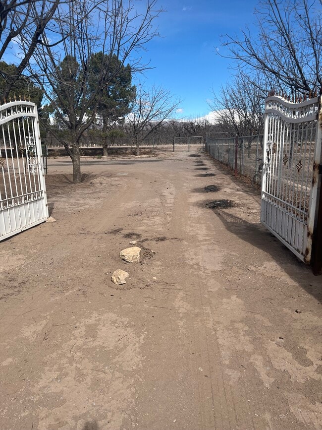
71 Memory Ln
Las Cruces, NM
SUBD: USRS TRACT 17-36A REPLAT NO 1(BK 18 PG 182 - 9544) LOT: 6 S: 35 T: 24S R: 2E INSTRUMENT #2504666
03-19735
DONA ANA
Vacantlandnec
New Mexico
T3
6
2024
1.16 AC
2025
Las Cruces/Alamogordo
001814
Other Market Areas
NEARBY LISTINGS FOR SALE OR LEASE
-
-
View all Mesilla Park listings for lease on LoopNet.com
DEMOGRAPHICS near 71 Memory Ln
1 mile
3 mile
5 mile
2024 Total Population
890
3,281
7,664
2029 Population
885
3,294
7,795
Pop Growth 2024-2029
(0.56%)
+ 0.40%
+ 1.71%
Average Age
38
40
40
2024 Total Households
304
1,171
2,689
HH Growth 2024-2029
0.00%
+ 0.68%
+ 2.31%
Median Household Inc
$44,744
$45,246
$45,166
Avg Household Size
2.80
2.70
2.80
2024 Avg HH Vehicles
2.00
2.00
2.00
Median Home Value
$90,977
$107,764
$194,127
Median Year Built
1993
1992
1991
Nearby Places
Map Layers
Map Styles
 Street
 Aerial
Transit
 Traffic
 Biking
Places
Listings with unknown addresses are not visible on the map
- Restaurants
- Banks
- Shops
- Fitness
- Groceries
SALE & LEASE HISTORY
LISTING DATE
SALE/LEASE

May 12, 2025
For Lease
Nearby Properties
Address
Land Use
TOTAL SIZE
Lot Size
Zoning
Address
Land Use
TOTAL SIZE
Lot Size
Zoning
23,489 SF
73 AC
T2
Address
Land Use
TOTAL SIZE
Lot Size
Zoning
33,612 SF
394.45 AC
D1-L
Address
Land Use
TOTAL SIZE
Lot Size
Zoning
10,162 SF
5 AC
T2
Address
Land Use
TOTAL SIZE
Lot Size
Zoning
6,186 SF
0.90 AC
T5
Address
Land Use
TOTAL SIZE
Lot Size
Zoning
4,816 SF
0.40 AC
T4
Address
Land Use
TOTAL SIZE
Lot Size
Zoning
10,842 SF
0.91 AC
T5
Address
Land Use
TOTAL SIZE
Lot Size
Zoning
11,680 SF
2.06 AC
T4
Address
Land Use
TOTAL SIZE
Lot Size
Zoning
12,220 SF
1.87 AC
T4
Address
Land Use
TOTAL SIZE
Lot Size
Zoning
3,938 SF
5.01 AC
D1-L
Address
Land Use
TOTAL SIZE
Lot Size
Zoning
2,820 SF
2.92 AC
T2
Address
Land Use
TOTAL SIZE
Lot Size
Zoning
7,258 SF
333.90 AC
T2
Address
Land Use
TOTAL SIZE
Lot Size
Zoning
5,053 SF
1 AC
T4
Address
Land Use
TOTAL SIZE
Lot Size
Zoning
2,603 SF
7.31 AC
T2
Address
Land Use
TOTAL SIZE
Lot Size
Zoning
2,971 SF
6.35 AC
T3
Address
Land Use
TOTAL SIZE
Lot Size
Zoning
3,722 SF
95.55 AC
D1-L
Address
Land Use
TOTAL SIZE
Lot Size
Zoning
3,175 SF
2.11 AC
D1-L
Address
Land Use
TOTAL SIZE
Lot Size
Zoning
2,492 SF
4.55 AC
T3
Address
Land Use
TOTAL SIZE
Lot Size
Zoning
2,862 SF
2.36 AC
D1-L
Address
Land Use
TOTAL SIZE
Lot Size
Zoning
2,178 SF
4.11 AC
T3
Address
Land Use
TOTAL SIZE
Lot Size
Zoning
3,485 SF
4.85 AC
D1-L
Address
Land Use
TOTAL SIZE
Lot Size
Zoning
4,680 SF
INST
Address
Land Use
TOTAL SIZE
Lot Size
Zoning
621 SF
1 AC
A2
Address
Land Use
TOTAL SIZE
Lot Size
Zoning
9,112 SF
1 AC
T4
Address
Land Use
TOTAL SIZE
Lot Size
Zoning
2,309 SF
2.06 AC
D1-L
Address
Land Use
TOTAL SIZE
Lot Size
Zoning
2,403 SF
2 AC
T3
Address
Land Use
TOTAL SIZE
Lot Size
Zoning
5,884 SF
53.81 AC
T2
Address
Land Use
TOTAL SIZE
Lot Size
Zoning
4,392 SF
1.28 AC
T4
Address
Land Use
TOTAL SIZE
Lot Size
Zoning
1,826 SF
1.59 AC
T3
Address
Land Use
TOTAL SIZE
Lot Size
Zoning
2,358 SF
1.50 AC
T3
The World's #1 Commercial Real Estate Marketplace
Connect with us
© 2026 CoStar Group
The information above has been obtained from sources believed reliable. While we do not doubt its accuracy we have not verified it and make no guarantee, warranty or representation about it. It is your responsibility to independently confirm its accuracy and completeness. Any projections, opinions, assumptions, or estimates used are for example only and do not represent the current or future performance of the property. The value of this transaction to you depends on tax and other factors which should be evaluated by your tax, financial, and legal advisors. You and your advisors should conduct a careful, independent investigation of the property to determine to your satisfaction the suitability of the property for your needs.