Property Record
710 N Main St, Lansing, KS 66043
NEARBY LISTINGS FOR SALE OR LEASE
Property Detail
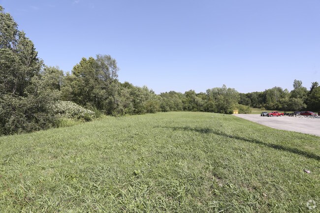
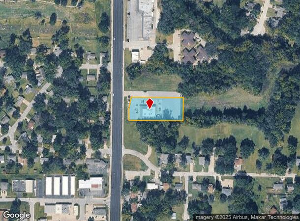
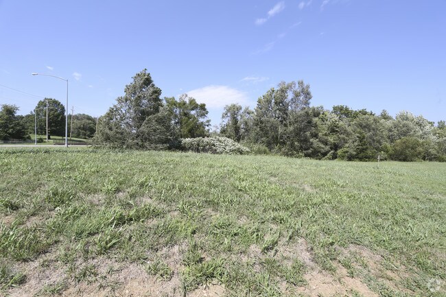
710 N Main St
094-18-0-30-12-004.01-0
Santa Fe Subdivision
Restaurantbuilding
SANTA FE SUBDIVISION, S18, T09, R23E, S140 OF W400 BLK 3
X
Leavenworth
20103C0144G
Kansas
2024
1.06 AC
2025
Leavenworth County
071102
Kansas City
6,000 SF
Kansas City, MO-KS
DEMOGRAPHICS near 710 N Main St
1 Mile
3 Mile
5 Mile
2024 Total Population
5,472
22,373
45,033
2029 Population
5,588
22,935
46,352
Pop Growth 2024-2029
+ 2.12%
+ 2.51%
+ 2.93%
Average Age
42
40
41
2024 Total Households
1,775
7,568
16,246
HH Growth 2024-2029
+ 2.14%
+ 2.63%
+ 3.32%
Median Household Inc
$74,491
$81,898
$70,214
Avg Household Size
2.40
2.50
2.40
2024 Avg HH Vehicles
2.00
2.00
2.00
Median Home Value
$177,786
$213,027
$188,352
Median Year Built
1978
1983
1973
Nearby Places
Map Layers
Map Styles
 Street
 Aerial
- Restaurants
- Banks
- Shops
- Fitness
- Groceries
PUBLIC TRANSPORTATION
AIRPORT
Kansas City International
DRIVE
WALK
Distance
Kansas City International
37 min
22.1 mi
Freight Ports
Tulsa Port Of Catoosa
DRIVE
WALK
Distance
Tulsa Port Of Catoosa
287 min
254.4 mi
SALE & LEASE HISTORY
LISTING DATE
SALE/LEASE

Sep 05, 2018
For Sale
Dec 21, 2016
For Sale
Nearby Properties
Address
Land Use
TOTAL SIZE
Lot Size
Zoning
Address
Land Use
TOTAL SIZE
Lot Size
Zoning
2,949 SF
398.40 AC
Address
Land Use
TOTAL SIZE
Lot Size
Zoning
546,636 SF
143.55 AC
Address
Land Use
TOTAL SIZE
Lot Size
Zoning
238,164 SF
153.40 AC
Address
Land Use
TOTAL SIZE
Lot Size
Zoning
252,443 SF
61.24 AC
Address
Land Use
TOTAL SIZE
Lot Size
Zoning
173,524 SF
17.52 AC
Address
Land Use
TOTAL SIZE
Lot Size
Zoning
141,398 SF
24.20 AC
Address
Land Use
TOTAL SIZE
Lot Size
Zoning
247,316 SF
192.75 AC
Address
Land Use
TOTAL SIZE
Lot Size
Zoning
200,862 SF
39.51 AC
Address
Land Use
TOTAL SIZE
Lot Size
Zoning
89,647 SF
24.76 AC
Address
Land Use
TOTAL SIZE
Lot Size
Zoning
59,298 SF
9.20 AC
Address
Land Use
TOTAL SIZE
Lot Size
Zoning
38,680 SF
4.30 AC
Address
Land Use
TOTAL SIZE
Lot Size
Zoning
48,527 SF
19.79 AC
Address
Land Use
TOTAL SIZE
Lot Size
Zoning
24,453 SF
1.57 AC
Address
Land Use
TOTAL SIZE
Lot Size
Zoning
15,241 SF
2.90 AC
Address
Land Use
TOTAL SIZE
Lot Size
Zoning
32,463 SF
7.60 AC
Address
Land Use
TOTAL SIZE
Lot Size
Zoning
7,720 SF
133.73 AC
Address
Land Use
TOTAL SIZE
Lot Size
Zoning
203,193 SF
33.15 AC
Address
Land Use
TOTAL SIZE
Lot Size
Zoning
29,353 SF
9.90 AC
Address
Land Use
TOTAL SIZE
Lot Size
Zoning
346.96 AC
Address
Land Use
TOTAL SIZE
Lot Size
Zoning
42,056 SF
4.35 AC
Address
Land Use
TOTAL SIZE
Lot Size
Zoning
117,680 SF
8.49 AC
Address
Land Use
TOTAL SIZE
Lot Size
Zoning
25,661 SF
3.47 AC
Address
Land Use
TOTAL SIZE
Lot Size
Zoning
54,765 SF
4.02 AC
Address
Land Use
TOTAL SIZE
Lot Size
Zoning
70.64 AC
Address
Land Use
TOTAL SIZE
Lot Size
Zoning
55,961 SF
22.45 AC
Address
Land Use
TOTAL SIZE
Lot Size
Zoning
118,500 SF
15.23 AC
Address
Land Use
TOTAL SIZE
Lot Size
Zoning
28,877 SF
15.40 AC
Address
Land Use
TOTAL SIZE
Lot Size
Zoning
60,343 SF
6.47 AC
Address
Land Use
TOTAL SIZE
Lot Size
Zoning
104,136 SF
12.79 AC
Address
Land Use
TOTAL SIZE
Lot Size
Zoning
29.68 AC
The World's #1 Commercial Real Estate Marketplace
Connect with us
© 2025 CoStar Group
The information above has been obtained from sources believed reliable. While we do not doubt its accuracy we have not verified it and make no guarantee, warranty or representation about it. It is your responsibility to independently confirm its accuracy and completeness. Any projections, opinions, assumptions, or estimates used are for example only and do not represent the current or future performance of the property. The value of this transaction to you depends on tax and other factors which should be evaluated by your tax, financial, and legal advisors. You and your advisors should conduct a careful, independent investigation of the property to determine to your satisfaction the suitability of the property for your needs.