Property Record
710 S Alton Way, Denver, CO 80247

NEARBY LISTINGS FOR SALE OR LEASE
Property Detail
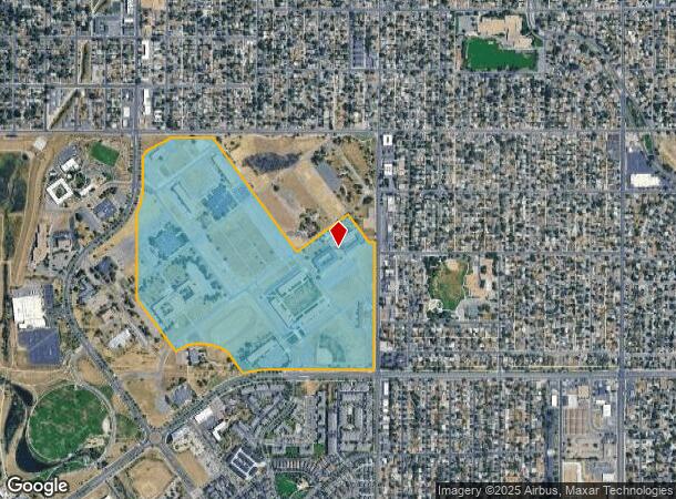
710 S Alton Way
Denver-Aurora-Lakewood, CO
Windsor Gardens East Filing No 2
1973-03-3-00-014
SECTION 03 TOWNSHIP 04 RANGE 67 THAT PART OF SW 1/4 OF SEC 3-4-67 DESC AS BEG 60 FT W & 72.5 FT N OF THE SE COR OF SD SW 1/4 TH N 1384.78 FT TH W 62.29 FT TH NW 377.05 FT TH SW 175.47 FT & 515.2 FT TH NW 755.67 FT & 789.99 FT TH W 459.73 FT TH ALG CU
Officebuilding
Arapahoe
X
Colorado
0800460207H
106.46 AC
0
Glendale
2024
Denver
007091
DEMOGRAPHICS near 710 S Alton Way
1 Mile
3 Mile
5 Mile
2024 Total Population
18,395
205,057
474,530
2029 Population
18,642
208,456
480,695
Pop Growth 2024-2029
+ 1.34%
+ 1.66%
+ 1.30%
Average Age
35
38
38
2024 Total Households
6,771
82,937
198,826
HH Growth 2024-2029
+ 1.46%
+ 1.64%
+ 1.26%
Median Household Inc
$57,066
$69,675
$72,102
Avg Household Size
2.60
2.40
2.30
2024 Avg HH Vehicles
2.00
2.00
2.00
Median Home Value
$412,850
$480,975
$495,261
Median Year Built
1973
1977
1976
Nearby Places
Map Layers
Map Styles
 Street
 Aerial
- Restaurants
- Banks
- Shops
- Fitness
- Groceries
PUBLIC TRANSPORTATION
COMMUTER RAIL
Central Park Station Track 1 (Union Station to Denver Airport Station - Regional Transportation District)
DRIVE
WALK
Distance
Central Park Station Track 1 (Union Station to Denver Airport Station - Regional Transportation District)
10 min
3.8 mi
Central Park Station Track 2 (Union Station to Denver Airport Station - Regional Transportation District)
DRIVE
WALK
Distance
Central Park Station Track 2 (Union Station to Denver Airport Station - Regional Transportation District)
10 min
3.9 mi
AIRPORT
Denver International
DRIVE
WALK
Distance
Denver International
27 min
19.9 mi
Freight Ports
Tulsa Port Of Catoosa
DRIVE
WALK
Distance
Tulsa Port Of Catoosa
724 min
702.6 mi
Nearby Properties
Address
Land Use
TOTAL SIZE
Lot Size
Zoning
Address
Land Use
TOTAL SIZE
Lot Size
Zoning
368,450 SF
48.59 AC
Address
Land Use
TOTAL SIZE
Lot Size
Zoning
353,829 SF
4.51 AC
Address
Land Use
TOTAL SIZE
Lot Size
Zoning
719,357 SF
21.47 AC
M-MX-5
Address
Land Use
TOTAL SIZE
Lot Size
Zoning
880,442 SF
67.95 AC
I-B
Address
Land Use
TOTAL SIZE
Lot Size
Zoning
525,050 SF
105.06 AC
Address
Land Use
TOTAL SIZE
Lot Size
Zoning
254,509 SF
16.29 AC
E-SU-DX
Address
Land Use
TOTAL SIZE
Lot Size
Zoning
273,184 SF
1.89 AC
Address
Land Use
TOTAL SIZE
Lot Size
Zoning
390,822 SF
13.47 AC
O-1
Address
Land Use
TOTAL SIZE
Lot Size
Zoning
185,206 SF
9.94 AC
C-MX
Address
Land Use
TOTAL SIZE
Lot Size
Zoning
646,975 SF
32.60 AC
M-IMX-8
Address
Land Use
TOTAL SIZE
Lot Size
Zoning
269,622 SF
12.90 AC
Address
Land Use
TOTAL SIZE
Lot Size
Zoning
253,099 SF
7.15 AC
E-SU-DX
Address
Land Use
TOTAL SIZE
Lot Size
Zoning
343,997 SF
6.36 AC
S-MX-5
Address
Land Use
TOTAL SIZE
Lot Size
Zoning
672,521 SF
0.61 AC
RB3
Address
Land Use
TOTAL SIZE
Lot Size
Zoning
384,886 SF
18.66 AC
R-2-A
Address
Land Use
TOTAL SIZE
Lot Size
Zoning
677,018 SF
5.05 AC
C-MX
Address
Land Use
TOTAL SIZE
Lot Size
Zoning
178,235 SF
1.38 AC
RFBAD
Address
Land Use
TOTAL SIZE
Lot Size
Zoning
89,205 SF
6.83 AC
E-SU-DX
Address
Land Use
TOTAL SIZE
Lot Size
Zoning
380,376 SF
24.52 AC
E-SU-DX
Address
Land Use
TOTAL SIZE
Lot Size
Zoning
368,676 SF
17.71 AC
R-2-A
Address
Land Use
TOTAL SIZE
Lot Size
Zoning
478,994 SF
26.07 AC
Address
Land Use
TOTAL SIZE
Lot Size
Zoning
540,380 SF
26.03 AC
RR3
Address
Land Use
TOTAL SIZE
Lot Size
Zoning
466,055 SF
24.82 AC
M-IMX-5
Address
Land Use
TOTAL SIZE
Lot Size
Zoning
551,531 SF
5.09 AC
C-MX
Address
Land Use
TOTAL SIZE
Lot Size
Zoning
111,358 SF
1.21 AC
Address
Land Use
TOTAL SIZE
Lot Size
Zoning
102,833 SF
14.27 AC
R-MU-20
Address
Land Use
TOTAL SIZE
Lot Size
Zoning
107,627 SF
1.59 AC
C-MX-5
Address
Land Use
TOTAL SIZE
Lot Size
Zoning
274,986 SF
8.51 AC
CMP-EI
Address
Land Use
TOTAL SIZE
Lot Size
Zoning
220,395 SF
7.93 AC
Address
Land Use
TOTAL SIZE
Lot Size
Zoning
105,004 SF
10.09 AC
C-MU-20
The World's #1 Commercial Real Estate Marketplace
Connect with us
© 2025 CoStar Group
The information above has been obtained from sources believed reliable. While we do not doubt its accuracy we have not verified it and make no guarantee, warranty or representation about it. It is your responsibility to independently confirm its accuracy and completeness. Any projections, opinions, assumptions, or estimates used are for example only and do not represent the current or future performance of the property. The value of this transaction to you depends on tax and other factors which should be evaluated by your tax, financial, and legal advisors. You and your advisors should conduct a careful, independent investigation of the property to determine to your satisfaction the suitability of the property for your needs.