Property Record
7110 Rosecrans Ave, Paramount, CA 90723


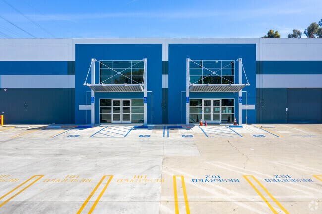

Property Detail
7110 Rosecrans Ave
Los Angeles-Long Beach-Glendale, CA
CALIFORNIA CO-OPERATIVE COLONY TR LOT COM S ON E LINE OF LOT 1 BLK 9 20 FT FROM NE COR OF SD LOT TH S ON SD E LINE 454.27 FT TH S 80 28 39 W 284.8 FT TH N 0 0403 W TO S LINE OF ROSECRANS AVE TO BEG PART OF LOT 1 BLK 9
6241-027-006
Los Angeles
Lightindustrial
California
PAM1*
1
2024
3.09 AC
2025
Downey/Paramount
553701
Los Angeles
72,000 SF
NEARBY LISTINGS FOR SALE OR LEASE
DEMOGRAPHICS near 7110 Rosecrans Ave
1 mile
3 mile
5 mile
2025 Total Population
29,003
308,684
799,752
2030 Population
28,508
303,543
786,527
Pop Growth 2025-2030
(1.71%)
(1.67%)
(1.65%)
Average Age
36
37
37
2025 Total Households
7,194
81,475
219,877
HH Growth 2025-2030
(2.02%)
(1.87%)
(1.87%)
Median Household Inc
$69,299
$76,508
$76,547
Avg Household Size
3.90
3.60
3.50
2025 Avg HH Vehicles
2.00
2.00
2.00
Median Home Value
$636,164
$671,877
$697,873
Median Year Built
1966
1958
1957
Nearby Places
Map Layers
Map Styles
 Street
 Aerial
Transit
 Traffic
 Biking
Places
Listings with unknown addresses are not visible on the map
- Restaurants
- Banks
- Shops
- Fitness
- Groceries
PUBLIC TRANSPORTATION
COMMUTER RAIL
Norwalk/Santa Fe Springs (91 Line - Southern California Regional Rail Authority (Metrolink), Orange County Line - Southern California Regional Rail Authority (Metrolink))
Drive
Walk
Distance
Norwalk/Santa Fe Springs (91 Line - Southern California Regional Rail Authority (Metrolink), Orange County Line - Southern California Regional Rail Authority (Metrolink))
13 min
7.4 mi
Commerce (91 Line - Southern California Regional Rail Authority (Metrolink), Orange County Line - Southern California Regional Rail Authority (Metrolink))
Drive
Walk
Distance
Commerce (91 Line - Southern California Regional Rail Authority (Metrolink), Orange County Line - Southern California Regional Rail Authority (Metrolink))
16 min
8.4 mi
AIRPORT
Long Beach (Daugherty Field)
Drive
Walk
Distance
Long Beach (Daugherty Field)
13 min
6.7 mi
Los Angeles International
Drive
Walk
Distance
Los Angeles International
22 min
16.4 mi
Bob Hope
Drive
Walk
Distance
Bob Hope
40 min
29.9 mi
Freight Ports
Port of Long Beach
Drive
Walk
Distance
Port of Long Beach
18 min
11.8 mi
SALE & LEASE HISTORY
LISTING DATE
SALE/LEASE

Jul 23, 2018
For Lease
Jan 09, 2020
For Lease
Feb 22, 2019
For Lease
Aug 06, 2018
For Lease
Nearby Properties
Address
Land Use
TOTAL SIZE
Lot Size
Zoning
Address
Land Use
TOTAL SIZE
Lot Size
Zoning
1,339,758 SF
28.53 AC
DOM2-P*
Address
Land Use
TOTAL SIZE
Lot Size
Zoning
587,291 SF
11.42 AC
LYHMD*
Address
Land Use
TOTAL SIZE
Lot Size
Zoning
313,224 SF
4.41 AC
SGM2*
Address
Land Use
TOTAL SIZE
Lot Size
Zoning
556,348 SF
26.38 AC
PAM2
Address
Land Use
TOTAL SIZE
Lot Size
Zoning
730,731 SF
14.89 AC
BFCG*
Address
Land Use
TOTAL SIZE
Lot Size
Zoning
373,498 SF
5.20 AC
LBR4R
Address
Land Use
TOTAL SIZE
Lot Size
Zoning
395,436 SF
17.22 AC
LBMG
Address
Land Use
TOTAL SIZE
Lot Size
Zoning
248,925 SF
10.91 AC
LYCB1*
Address
Land Use
TOTAL SIZE
Lot Size
Zoning
37,867 SF
8.32 AC
COMH-B*
Address
Land Use
TOTAL SIZE
Lot Size
Zoning
132,404 SF
4.84 AC
LBIG
Address
Land Use
TOTAL SIZE
Lot Size
Zoning
106,028 SF
6.42 AC
DOM2-P*
Address
Land Use
TOTAL SIZE
Lot Size
Zoning
99,674 SF
6.53 AC
DOM2-P*
Address
Land Use
TOTAL SIZE
Lot Size
Zoning
183,128 SF
10.77 AC
PAM2*
Address
Land Use
TOTAL SIZE
Lot Size
Zoning
111,746 SF
4.38 AC
DOM2-P*
Address
Land Use
TOTAL SIZE
Lot Size
Zoning
149,723 SF
9.90 AC
LBIG
Address
Land Use
TOTAL SIZE
Lot Size
Zoning
97,204 SF
4.10 AC
COMH*
Address
Land Use
TOTAL SIZE
Lot Size
Zoning
77,168 SF
2.90 AC
DOR3-P*
Address
Land Use
TOTAL SIZE
Lot Size
Zoning
126,905 SF
7.87 AC
LBCHW
Address
Land Use
TOTAL SIZE
Lot Size
Zoning
105,229 SF
2.08 AC
PACM*
Address
Land Use
TOTAL SIZE
Lot Size
Zoning
109,117 SF
6.58 AC
DOM2-P*
Address
Land Use
TOTAL SIZE
Lot Size
Zoning
380,681 SF
8.84 AC
BFM1*
Address
Land Use
TOTAL SIZE
Lot Size
Zoning
74,882 SF
5.25 AC
LYCB1*
Address
Land Use
TOTAL SIZE
Lot Size
Zoning
51,593 SF
3.92 AC
LYM*
Address
Land Use
TOTAL SIZE
Lot Size
Zoning
114,768 SF
18.82 AC
LBIG
Address
Land Use
TOTAL SIZE
Lot Size
Zoning
141,567 SF
10.12 AC
PAM1*
Address
Land Use
TOTAL SIZE
Lot Size
Zoning
100,648 SF
0.85 AC
PAM2*
Address
Land Use
TOTAL SIZE
Lot Size
Zoning
88,585 SF
7.88 AC
COCL *
Address
Land Use
TOTAL SIZE
Lot Size
Zoning
19,134 SF
4.19 AC
COML*
The World's #1 Commercial Real Estate Marketplace
Connect with us
© 2026 CoStar Group
The information above has been obtained from sources believed reliable. While we do not doubt its accuracy we have not verified it and make no guarantee, warranty or representation about it. It is your responsibility to independently confirm its accuracy and completeness. Any projections, opinions, assumptions, or estimates used are for example only and do not represent the current or future performance of the property. The value of this transaction to you depends on tax and other factors which should be evaluated by your tax, financial, and legal advisors. You and your advisors should conduct a careful, independent investigation of the property to determine to your satisfaction the suitability of the property for your needs.