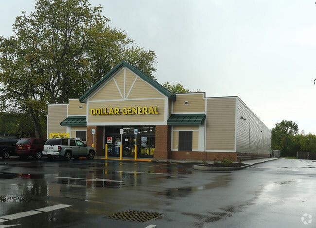
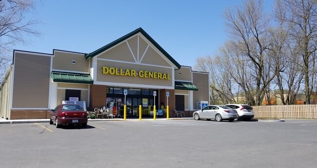
Property Record
7143 State Route 9, Plattsburgh, NY 12901

Property Detail
7143 State Route 9
094200-194-000-0001-023-000-0000
91 PAT POP STATE RD
Storesoffices
Clinton
C
New York
B and X Area of moderate flood hazard, usually the area between the limits of the 100-year and 500-year floods.
23.000
2025
1.70 AC
2025
Plattsburgh
100800
Other Market Areas
9,240 SF
Plattsburgh, NY
NEARBY LISTINGS FOR SALE OR LEASE
DEMOGRAPHICS near 7143 State Route 9
1 mile
3 mile
5 mile
2025 Total Population
715
15,577
26,740
2030 Population
716
15,402
26,439
Pop Growth 2025-2030
+ 0.14%
(1.12%)
(1.13%)
Average Age
43
41
42
2025 Total Households
331
7,475
12,505
HH Growth 2025-2030
+ 0.30%
(1.16%)
(1.17%)
Median Household Inc
$77,500
$54,837
$55,924
Avg Household Size
2.00
2.00
2.10
2025 Avg HH Vehicles
2.00
1.00
2.00
Median Home Value
$198,412
$219,264
$194,676
Median Year Built
1980
1959
1969
Nearby Places
Map Layers
Map Styles
 Street
 Aerial
Layers
 Traffic
 Biking
Places
Listings with unknown addresses are not visible on the map
- Restaurants
- Banks
- Shops
- Fitness
- Groceries
PUBLIC TRANSPORTATION
AIRPORT
Plattsburgh International
Drive
Walk
Distance
Plattsburgh International
11 min
5.6 mi
Patrick Leahy Burlington International
Drive
Walk
Distance
Patrick Leahy Burlington International
64 min
28.8 mi
SALE & LEASE HISTORY
LISTING DATE
SALE/LEASE

Jun 01, 2021
For Sale
Nearby Properties
Address
Land Use
TOTAL SIZE
Lot Size
Zoning
Address
Land Use
TOTAL SIZE
Lot Size
Zoning
103.84 AC
Address
Land Use
TOTAL SIZE
Lot Size
Zoning
404,903 SF
40.60 AC
03 - MULTI
Address
Land Use
TOTAL SIZE
Lot Size
Zoning
88,880 SF
5.73 AC
I
Address
Land Use
TOTAL SIZE
Lot Size
Zoning
3,545 SF
17.30 AC
06 - INDUS
Address
Land Use
TOTAL SIZE
Lot Size
Zoning
15.80 AC
Address
Land Use
TOTAL SIZE
Lot Size
Zoning
112,400 SF
13.20 AC
I
Address
Land Use
TOTAL SIZE
Lot Size
Zoning
87,442 SF
5.32 AC
02 - SINGL
Address
Land Use
TOTAL SIZE
Lot Size
Zoning
148,340 SF
5.67 AC
03 - MULTI
Address
Land Use
TOTAL SIZE
Lot Size
Zoning
965,099 SF
113.70 AC
06 - INDUS
Address
Land Use
TOTAL SIZE
Lot Size
Zoning
21,396 SF
3.40 AC
03 - MULTI
Address
Land Use
TOTAL SIZE
Lot Size
Zoning
11,910 SF
3.70 AC
05 - COMME
Address
Land Use
TOTAL SIZE
Lot Size
Zoning
84,193 SF
10.60 AC
03 - MULTI
Address
Land Use
TOTAL SIZE
Lot Size
Zoning
59,670 SF
0.50 AC
03 - MULTI
Address
Land Use
TOTAL SIZE
Lot Size
Zoning
210,800 SF
2.42 AC
I
Address
Land Use
TOTAL SIZE
Lot Size
Zoning
76,598 SF
14.90 AC
12
Address
Land Use
TOTAL SIZE
Lot Size
Zoning
85,252 SF
3 AC
03 - MULTI
Address
Land Use
TOTAL SIZE
Lot Size
Zoning
88,785 SF
3.64 AC
07 - MIXED
Address
Land Use
TOTAL SIZE
Lot Size
Zoning
44,452 SF
1.90 AC
11
Address
Land Use
TOTAL SIZE
Lot Size
Zoning
64,993 SF
15 AC
R-4
Address
Land Use
TOTAL SIZE
Lot Size
Zoning
6,860 SF
257.90 AC
I
Address
Land Use
TOTAL SIZE
Lot Size
Zoning
42,085 SF
0.45 AC
03 - MULTI
Address
Land Use
TOTAL SIZE
Lot Size
Zoning
Address
Land Use
TOTAL SIZE
Lot Size
Zoning
74,184 SF
2.80 AC
07 - MIXED
Address
Land Use
TOTAL SIZE
Lot Size
Zoning
44,059 SF
6.70 AC
03 - MULTI
Address
Land Use
TOTAL SIZE
Lot Size
Zoning
45.50 AC
LC_OS
Address
Land Use
TOTAL SIZE
Lot Size
Zoning
46,511 SF
7 AC
03 - MULTI
Address
Land Use
TOTAL SIZE
Lot Size
Zoning
Address
Land Use
TOTAL SIZE
Lot Size
Zoning
7,488 SF
2.39 AC
07 - MIXED
Address
Land Use
TOTAL SIZE
Lot Size
Zoning
74,904 SF
16 AC
06 - INDUS
Address
Land Use
TOTAL SIZE
Lot Size
Zoning
2.70 AC
The World's #1 Commercial Real Estate Marketplace
Connect with us
© 2026 CoStar Group
The information above has been obtained from sources believed reliable. While we do not doubt its accuracy we have not verified it and make no guarantee, warranty or representation about it. It is your responsibility to independently confirm its accuracy and completeness. Any projections, opinions, assumptions, or estimates used are for example only and do not represent the current or future performance of the property. The value of this transaction to you depends on tax and other factors which should be evaluated by your tax, financial, and legal advisors. You and your advisors should conduct a careful, independent investigation of the property to determine to your satisfaction the suitability of the property for your needs.