Property Record
7180 U S Highway 29, Blairs, VA 24527

Property Detail
7180 U S Highway 29
2421-78-2425
FAITH HOME INC SUBD TRACT 4
Industrialgeneral
Pittsylvania
B-2
Virginia
B and X Area of moderate flood hazard, usually the area between the limits of the 100-year and 500-year floods.
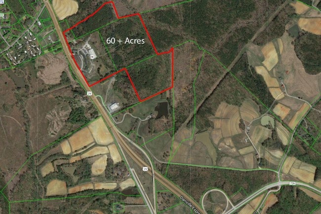
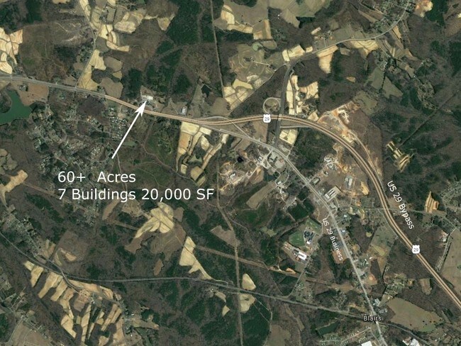
15.43 AC
2025
Virginia South Central
2025
Other Market Areas
010801
Danville, VA
NEARBY LISTINGS FOR SALE OR LEASE
-
-
View all Blairs listings for sale on LoopNet.com
DEMOGRAPHICS near 7180 U S Highway 29
1 mile
3 mile
5 mile
2025 Total Population
485
3,414
10,994
2030 Population
482
3,379
10,790
Pop Growth 2025-2030
(0.62%)
(1.03%)
(1.86%)
Average Age
44
44
43
2025 Total Households
192
1,382
4,502
HH Growth 2025-2030
(0.52%)
(1.01%)
(1.87%)
Median Household Inc
$55,999
$59,222
$62,395
Avg Household Size
2.40
2.40
2.40
2025 Avg HH Vehicles
3.00
2.00
2.00
Median Home Value
$170,454
$169,404
$189,553
Median Year Built
1990
1985
1984
Nearby Places
Map Layers
Map Styles
 Street
 Aerial
Layers
 Traffic
 Biking
Places
Listings with unknown addresses are not visible on the map
- Restaurants
- Banks
- Shops
- Fitness
- Groceries
SALE & LEASE HISTORY
LISTING DATE
SALE/LEASE

Sep 24, 2016
For Sale
Mar 08, 2017
For Sale
Nearby Properties
Address
Land Use
TOTAL SIZE
Lot Size
Zoning
Address
Land Use
TOTAL SIZE
Lot Size
Zoning
712,590 SF
163.02 AC
M-1
Address
Land Use
TOTAL SIZE
Lot Size
Zoning
53.70 AC
M-1
Address
Land Use
TOTAL SIZE
Lot Size
Zoning
73,290 SF
5.94 AC
RMF
Address
Land Use
TOTAL SIZE
Lot Size
Zoning
9.25 AC
B-2
Address
Land Use
TOTAL SIZE
Lot Size
Zoning
21.40 AC
A-1
Address
Land Use
TOTAL SIZE
Lot Size
Zoning
129,864 SF
14.35 AC
M-1
Address
Land Use
TOTAL SIZE
Lot Size
Zoning
5.28 AC
M-1
Address
Land Use
TOTAL SIZE
Lot Size
Zoning
11,470 SF
2 AC
M-1
Address
Land Use
TOTAL SIZE
Lot Size
Zoning
5 AC
M-1
Address
Land Use
TOTAL SIZE
Lot Size
Zoning
9,015 SF
1.92 AC
R-1
Address
Land Use
TOTAL SIZE
Lot Size
Zoning
97,425 SF
10 AC
M-1
Address
Land Use
TOTAL SIZE
Lot Size
Zoning
3.15 AC
B-2
Address
Land Use
TOTAL SIZE
Lot Size
Zoning
9,401 SF
2.49 AC
R-1
Address
Land Use
TOTAL SIZE
Lot Size
Zoning
12.21 AC
B-1
Address
Land Use
TOTAL SIZE
Lot Size
Zoning
4,320 SF
1.79 AC
A-1
Address
Land Use
TOTAL SIZE
Lot Size
Zoning
9,100 SF
1.38 AC
B-2
Address
Land Use
TOTAL SIZE
Lot Size
Zoning
51.64 AC
MHP
Address
Land Use
TOTAL SIZE
Lot Size
Zoning
1.43 AC
M-1
Address
Land Use
TOTAL SIZE
Lot Size
Zoning
22,800 SF
5 AC
M-1
Address
Land Use
TOTAL SIZE
Lot Size
Zoning
8,304 SF
1.50 AC
A-1
Address
Land Use
TOTAL SIZE
Lot Size
Zoning
6.77 AC
B-2
Address
Land Use
TOTAL SIZE
Lot Size
Zoning
6.16 AC
M-2
Address
Land Use
TOTAL SIZE
Lot Size
Zoning
8.13 AC
M-2
Address
Land Use
TOTAL SIZE
Lot Size
Zoning
2,992 SF
30.79 AC
B-1
Address
Land Use
TOTAL SIZE
Lot Size
Zoning
3,456 SF
5.08 AC
RMF
Address
Land Use
TOTAL SIZE
Lot Size
Zoning
5 AC
B-2
Address
Land Use
TOTAL SIZE
Lot Size
Zoning
0.12 AC
A-1
Address
Land Use
TOTAL SIZE
Lot Size
Zoning
60.59 AC
A-1
The World's #1 Commercial Real Estate Marketplace
Connect with us
© 2026 CoStar Group
The information above has been obtained from sources believed reliable. While we do not doubt its accuracy we have not verified it and make no guarantee, warranty or representation about it. It is your responsibility to independently confirm its accuracy and completeness. Any projections, opinions, assumptions, or estimates used are for example only and do not represent the current or future performance of the property. The value of this transaction to you depends on tax and other factors which should be evaluated by your tax, financial, and legal advisors. You and your advisors should conduct a careful, independent investigation of the property to determine to your satisfaction the suitability of the property for your needs.