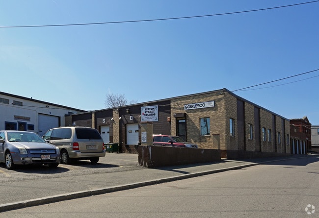
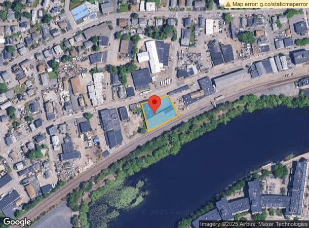
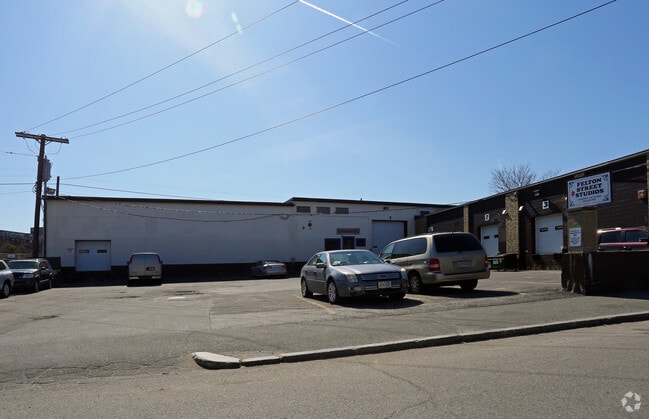
Property Record
72 Felton St, Waltham, MA 02453

NEARBY LISTINGS FOR SALE OR LEASE
Property Detail
72 Felton St
WALT-000060-000025-000001
Middlesex
Multipleuses
Massachusetts
X
1
25017C0551F
0.57 AC
2024
Waltham/Watertown
2025
Boston
368800
Boston-Cambridge-Newton, MA-NH
16,493 SF
DEMOGRAPHICS near 72 Felton St
1 Mile
3 Mile
5 Mile
2024 Total Population
31,505
127,956
292,867
2029 Population
31,001
126,308
288,340
Pop Growth 2024-2029
(1.60%)
(1.29%)
(1.55%)
Average Age
38
40
41
2024 Total Households
13,470
50,793
113,014
HH Growth 2024-2029
(1.65%)
(1.41%)
(1.72%)
Median Household Inc
$88,939
$118,569
$133,408
Avg Household Size
2.20
2.30
2.40
2024 Avg HH Vehicles
1.00
2.00
2.00
Median Home Value
$661,362
$802,261
$911,025
Median Year Built
1950
1953
1951
Nearby Places
Map Layers
Map Styles
 Street
 Aerial
- Restaurants
- Banks
- Shops
- Fitness
- Groceries
PUBLIC TRANSPORTATION
TRANSIT/SUBWAY
Waltham (Fitchburg/South Acton Line - Massachusetts Bay Transportation Authority Commuter Rail (Purple Line))
DRIVE
WALK
Distance
Waltham (Fitchburg/South Acton Line - Massachusetts Bay Transportation Authority Commuter Rail (Purple Line))
2 min
6 min
0.3 mi
COMMUTER RAIL
DRIVE
WALK
Distance
2 min
1 min
0.1 mi
Waltham (Fitchburg/South Acton Line - Massachusetts Bay Transportation Authority Commuter Rail (Purple Line))
DRIVE
WALK
Distance
Waltham (Fitchburg/South Acton Line - Massachusetts Bay Transportation Authority Commuter Rail (Purple Line))
2 min
6 min
0.3 mi
AIRPORT
General Edward Lawrence Logan International
DRIVE
WALK
Distance
General Edward Lawrence Logan International
26 min
14.4 mi
Worcester Regional
DRIVE
WALK
Distance
Worcester Regional
59 min
40.3 mi
Freight Ports
Port of Boston
DRIVE
WALK
Distance
Port of Boston
25 min
12.7 mi
SALE & LEASE HISTORY
LISTING DATE
SALE/LEASE

Sep 18, 2017
For Lease
Nearby Properties
Address
Land Use
TOTAL SIZE
Lot Size
Zoning
Address
Land Use
TOTAL SIZE
Lot Size
Zoning
776,099 SF
35.70 AC
Address
Land Use
TOTAL SIZE
Lot Size
Zoning
447,312 SF
62.01 AC
Address
Land Use
TOTAL SIZE
Lot Size
Zoning
220,671 SF
2.52 AC
I-2
Address
Land Use
TOTAL SIZE
Lot Size
Zoning
165,986 SF
4.32 AC
Address
Land Use
TOTAL SIZE
Lot Size
Zoning
472,329 SF
22.11 AC
CD
Address
Land Use
TOTAL SIZE
Lot Size
Zoning
105,982 SF
4.50 AC
Address
Land Use
TOTAL SIZE
Lot Size
Zoning
387,965 SF
3.90 AC
Address
Land Use
TOTAL SIZE
Lot Size
Zoning
21.52 AC
Address
Land Use
TOTAL SIZE
Lot Size
Zoning
317,256 SF
17.48 AC
Address
Land Use
TOTAL SIZE
Lot Size
Zoning
336,306 SF
7.54 AC
Address
Land Use
TOTAL SIZE
Lot Size
Zoning
234,814 SF
4.06 AC
Address
Land Use
TOTAL SIZE
Lot Size
Zoning
25,000 SF
25.73 AC
RD
Address
Land Use
TOTAL SIZE
Lot Size
Zoning
79.60 AC
SD
Address
Land Use
TOTAL SIZE
Lot Size
Zoning
293,084 SF
5.01 AC
1
Address
Land Use
TOTAL SIZE
Lot Size
Zoning
73.10 AC
SA
Address
Land Use
TOTAL SIZE
Lot Size
Zoning
238,065 SF
1.79 AC
Address
Land Use
TOTAL SIZE
Lot Size
Zoning
272,445 SF
6.40 AC
Address
Land Use
TOTAL SIZE
Lot Size
Zoning
179,834 SF
8.57 AC
PUB
Address
Land Use
TOTAL SIZE
Lot Size
Zoning
282,014 SF
15.57 AC
Address
Land Use
TOTAL SIZE
Lot Size
Zoning
269,692 SF
15.37 AC
Address
Land Use
TOTAL SIZE
Lot Size
Zoning
402,419 SF
73.98 AC
BB
Address
Land Use
TOTAL SIZE
Lot Size
Zoning
344,469 SF
54.49 AC
Address
Land Use
TOTAL SIZE
Lot Size
Zoning
6.51 AC
PSCD
Address
Land Use
TOTAL SIZE
Lot Size
Zoning
293,195 SF
11.55 AC
BU5
Address
Land Use
TOTAL SIZE
Lot Size
Zoning
391,781 SF
8.22 AC
Address
Land Use
TOTAL SIZE
Lot Size
Zoning
3.86 AC
Address
Land Use
TOTAL SIZE
Lot Size
Zoning
442,743 SF
27.11 AC
Address
Land Use
TOTAL SIZE
Lot Size
Zoning
164,072 SF
43.80 AC
Address
Land Use
TOTAL SIZE
Lot Size
Zoning
212,684 SF
54.49 AC
Address
Land Use
TOTAL SIZE
Lot Size
Zoning
30.69 AC
The World's #1 Commercial Real Estate Marketplace
Connect with us
© 2025 CoStar Group
The information above has been obtained from sources believed reliable. While we do not doubt its accuracy we have not verified it and make no guarantee, warranty or representation about it. It is your responsibility to independently confirm its accuracy and completeness. Any projections, opinions, assumptions, or estimates used are for example only and do not represent the current or future performance of the property. The value of this transaction to you depends on tax and other factors which should be evaluated by your tax, financial, and legal advisors. You and your advisors should conduct a careful, independent investigation of the property to determine to your satisfaction the suitability of the property for your needs.