Property Record
72Xx E Riverside Blvd, Rockford, IL 61114
NEARBY LISTINGS FOR SALE OR LEASE
Property Detail
72Xx E Riverside Blvd
12-02-301-007
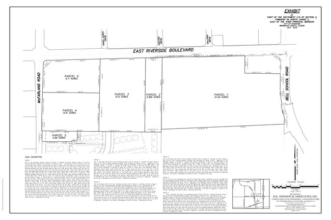
BEG S LN RIVERSIDE BLVD AT A PT 430 FTSW OF NE COR W 1/2 SW1/4 SEC SLY 750FT SW 430 FT NLY 750 FT NE 430 FT TO POB PT NW1/4 SW1/4 SEC SEC: 2 TWP: 44 R
Agriculturalland
Winnebago
X
Illinois
17201C0278E
7.40 AC
2024
I-39 Corr/Winnebago Cnty
2024
Chicago
000516
Rockford, IL
DEMOGRAPHICS near 72Xx E Riverside Blvd
1 Mile
3 Mile
5 Mile
2024 Total Population
4,943
35,566
100,563
2029 Population
4,852
35,014
99,189
Pop Growth 2024-2029
(1.84%)
(1.55%)
(1.37%)
Average Age
44
44
43
2024 Total Households
2,220
15,187
41,732
HH Growth 2024-2029
(1.89%)
(1.55%)
(1.38%)
Median Household Inc
$79,243
$78,996
$68,842
Avg Household Size
2.20
2.30
2.30
2024 Avg HH Vehicles
2.00
2.00
2.00
Median Home Value
$178,749
$180,144
$162,231
Median Year Built
1997
1989
1978
Nearby Places
- Restaurants
- Banks
- Shops
- Fitness
- Groceries
PUBLIC TRANSPORTATION
AIRPORT
Chicago/Rockford International
DRIVE
WALK
Distance
Chicago/Rockford International
26 min
17.5 mi
Freight Ports
Port Milwaukee
DRIVE
WALK
Distance
Port Milwaukee
101 min
86.3 mi
Nearby Properties
Address
Land Use
TOTAL SIZE
Lot Size
Zoning
Address
Land Use
TOTAL SIZE
Lot Size
Zoning
189,000 SF
56.75 AC
IL - INDUS
Address
Land Use
TOTAL SIZE
Lot Size
Zoning
Address
Land Use
TOTAL SIZE
Lot Size
Zoning
Address
Land Use
TOTAL SIZE
Lot Size
Zoning
Address
Land Use
TOTAL SIZE
Lot Size
Zoning
212,200 SF
21 AC
C3
Address
Land Use
TOTAL SIZE
Lot Size
Zoning
69,864 SF
9.39 AC
C3
Address
Land Use
TOTAL SIZE
Lot Size
Zoning
195,672 SF
10.63 AC
C3
Address
Land Use
TOTAL SIZE
Lot Size
Zoning
213,659 SF
18 AC
IL
Address
Land Use
TOTAL SIZE
Lot Size
Zoning
10.01 AC
Address
Land Use
TOTAL SIZE
Lot Size
Zoning
182,391 SF
17.90 AC
R3
Address
Land Use
TOTAL SIZE
Lot Size
Zoning
114,176 SF
4.94 AC
R4
Address
Land Use
TOTAL SIZE
Lot Size
Zoning
151,523 SF
16.05 AC
CR
Address
Land Use
TOTAL SIZE
Lot Size
Zoning
65,541 SF
24.36 AC
C3
Address
Land Use
TOTAL SIZE
Lot Size
Zoning
67,360 SF
5.91 AC
C2
Address
Land Use
TOTAL SIZE
Lot Size
Zoning
19,406 SF
10.13 AC
R4
Address
Land Use
TOTAL SIZE
Lot Size
Zoning
71,799 SF
4.51 AC
C1
Address
Land Use
TOTAL SIZE
Lot Size
Zoning
63,492 SF
4.92 AC
C1
Address
Land Use
TOTAL SIZE
Lot Size
Zoning
81,248 SF
10.20 AC
Address
Land Use
TOTAL SIZE
Lot Size
Zoning
79,147 SF
5.08 AC
R3
Address
Land Use
TOTAL SIZE
Lot Size
Zoning
210,007 SF
15.86 AC
C2
Address
Land Use
TOTAL SIZE
Lot Size
Zoning
63,016 SF
5.48 AC
C1
Address
Land Use
TOTAL SIZE
Lot Size
Zoning
Address
Land Use
TOTAL SIZE
Lot Size
Zoning
31,080 SF
2.53 AC
C2
Address
Land Use
TOTAL SIZE
Lot Size
Zoning
46,750 SF
9.11 AC
Address
Land Use
TOTAL SIZE
Lot Size
Zoning
62.32 AC
C3
Address
Land Use
TOTAL SIZE
Lot Size
Zoning
44,989 SF
4.51 AC
C2
Address
Land Use
TOTAL SIZE
Lot Size
Zoning
72,149 SF
1.12 AC
C1
Address
Land Use
TOTAL SIZE
Lot Size
Zoning
85,500 SF
9.10 AC
C1
Address
Land Use
TOTAL SIZE
Lot Size
Zoning
71,305 SF
2.97 AC
R3
Address
Land Use
TOTAL SIZE
Lot Size
Zoning
136,775 SF
24.28 AC
IL_CR
The World's #1 Commercial Real Estate Marketplace
Connect with us
© 2025 CoStar Group
The information above has been obtained from sources believed reliable. While we do not doubt its accuracy we have not verified it and make no guarantee, warranty or representation about it. It is your responsibility to independently confirm its accuracy and completeness. Any projections, opinions, assumptions, or estimates used are for example only and do not represent the current or future performance of the property. The value of this transaction to you depends on tax and other factors which should be evaluated by your tax, financial, and legal advisors. You and your advisors should conduct a careful, independent investigation of the property to determine to your satisfaction the suitability of the property for your needs.