Property Record
7201 N 7Th St, Phoenix, AZ 85020


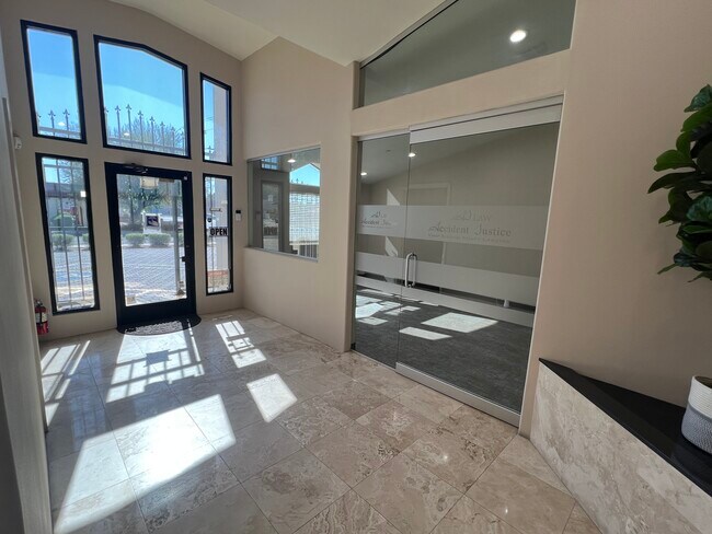
This Property Is For Sale
Property Detail
7201 N 7Th St
160-29-012A
PALM HEIGHTS MCR 36/43
Officebuilding
Maricopa
M-H
Arizona
C and X Area of minimal flood hazard, usually depicted on FIRMs as above the 500-year flood level.
4
2025
0.19 AC
2025
Piestewa Peak Corridor
106300
Phoenix
2,001 SF
Phoenix-Mesa-Chandler, AZ
NEARBY LISTINGS FOR SALE OR LEASE
DEMOGRAPHICS near 7201 N 7Th St
1 mile
3 mile
5 mile
2025 Total Population
15,783
147,193
404,103
2030 Population
16,387
153,435
419,700
Pop Growth 2025-2030
+ 3.83%
+ 4.24%
+ 3.86%
Average Age
42
40
38
2025 Total Households
7,006
66,423
165,471
HH Growth 2025-2030
+ 3.88%
+ 4.30%
+ 4.15%
Median Household Inc
$113,469
$72,056
$70,835
Avg Household Size
2.20
2.20
2.30
2025 Avg HH Vehicles
2.00
2.00
2.00
Median Home Value
$765,035
$555,677
$480,360
Median Year Built
1970
1974
1973
Nearby Places
Map Layers
Map Styles
 Street
 Aerial
Layers
 Traffic
 Biking
Places
Listings with unknown addresses are not visible on the map
- Restaurants
- Banks
- Shops
- Fitness
- Groceries
PUBLIC TRANSPORTATION
AIRPORT
Phoenix Sky Harbor International
Drive
Walk
Distance
Phoenix Sky Harbor International
19 min
11.0 mi
Phoenix-Mesa Gateway
Drive
Walk
Distance
Phoenix-Mesa Gateway
52 min
38.2 mi
Nearby Properties
Address
Land Use
TOTAL SIZE
Lot Size
Zoning
Address
Land Use
TOTAL SIZE
Lot Size
Zoning
63,018 SF
4.77 AC
C-T
Address
Land Use
TOTAL SIZE
Lot Size
Zoning
969,844 SF
27.97 AC
PAD
Address
Land Use
TOTAL SIZE
Lot Size
Zoning
21,587 SF
3.66 AC
R-10
Address
Land Use
TOTAL SIZE
Lot Size
Zoning
410,000 SF
1.86 AC
C-C
Address
Land Use
TOTAL SIZE
Lot Size
Zoning
812,968 SF
7.08 AC
Address
Land Use
TOTAL SIZE
Lot Size
Zoning
558,361 SF
14.61 AC
C-2
Address
Land Use
TOTAL SIZE
Lot Size
Zoning
656,952 SF
3.58 AC
Address
Land Use
TOTAL SIZE
Lot Size
Zoning
367,399 SF
14.88 AC
C-1
Address
Land Use
TOTAL SIZE
Lot Size
Zoning
496,222 SF
29.53 AC
C-R
Address
Land Use
TOTAL SIZE
Lot Size
Zoning
575,103 SF
2.24 AC
Address
Land Use
TOTAL SIZE
Lot Size
Zoning
515,418 SF
19.72 AC
R-3
Address
Land Use
TOTAL SIZE
Lot Size
Zoning
474,952 SF
13.68 AC
C-C
Address
Land Use
TOTAL SIZE
Lot Size
Zoning
536,856 SF
20.27 AC
PSC
Address
Land Use
TOTAL SIZE
Lot Size
Zoning
341,434 SF
22.48 AC
C-T
Address
Land Use
TOTAL SIZE
Lot Size
Zoning
215,150 SF
13.24 AC
R-3
Address
Land Use
TOTAL SIZE
Lot Size
Zoning
51,836 SF
43.32 AC
RE35
Address
Land Use
TOTAL SIZE
Lot Size
Zoning
462,814 SF
2.54 AC
Address
Land Use
TOTAL SIZE
Lot Size
Zoning
7,665 SF
1.29 AC
C-T
Address
Land Use
TOTAL SIZE
Lot Size
Zoning
430,586 SF
15.85 AC
R16
Address
Land Use
TOTAL SIZE
Lot Size
Zoning
595,514 SF
4.08 AC
C-C
Address
Land Use
TOTAL SIZE
Lot Size
Zoning
299,513 SF
43.10 AC
M-H
Address
Land Use
TOTAL SIZE
Lot Size
Zoning
146,867 SF
12.95 AC
CPGCP
Address
Land Use
TOTAL SIZE
Lot Size
Zoning
2.90 AC
M-M
Address
Land Use
TOTAL SIZE
Lot Size
Zoning
369,277 SF
3.31 AC
PAD
Address
Land Use
TOTAL SIZE
Lot Size
Zoning
194,523 SF
37.27 AC
R-6
Address
Land Use
TOTAL SIZE
Lot Size
Zoning
314,171 SF
3.83 AC
C-T
Address
Land Use
TOTAL SIZE
Lot Size
Zoning
394,793 SF
3.60 AC
PUD
Address
Land Use
TOTAL SIZE
Lot Size
Zoning
36,324 SF
9.40 AC
R-35
Address
Land Use
TOTAL SIZE
Lot Size
Zoning
291,437 SF
5.12 AC
M-H
Address
Land Use
TOTAL SIZE
Lot Size
Zoning
469,456 SF
7.97 AC
M-H
The World's #1 Commercial Real Estate Marketplace
Connect with us
© 2026 CoStar Group
The information above has been obtained from sources believed reliable. While we do not doubt its accuracy we have not verified it and make no guarantee, warranty or representation about it. It is your responsibility to independently confirm its accuracy and completeness. Any projections, opinions, assumptions, or estimates used are for example only and do not represent the current or future performance of the property. The value of this transaction to you depends on tax and other factors which should be evaluated by your tax, financial, and legal advisors. You and your advisors should conduct a careful, independent investigation of the property to determine to your satisfaction the suitability of the property for your needs.