Property Record
7202 Maygan Dr, Olive Branch, MS 38654
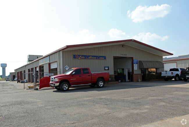

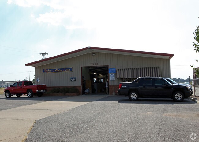
Property Detail
7202 Maygan Dr
1069291800002300
CRAFT ROAD COMMERCIAL PLAZA 1ST ADDITION LOT 23
Commercialnec
DESOTO
C-2
Mississippi
B and X Area of moderate flood hazard, usually the area between the limits of the 100-year and 500-year floods.
23
2025
0.79 AC
2025
Olive Branch
070821
Memphis
9,492 SF
Memphis, TN-MS-AR
NEARBY LISTINGS FOR SALE OR LEASE
DEMOGRAPHICS near 7202 Maygan Dr
1 mile
3 mile
5 mile
2025 Total Population
3,283
34,134
104,327
2030 Population
3,404
34,758
104,654
Pop Growth 2025-2030
+ 3.69%
+ 1.83%
+ 0.31%
Average Age
41
39
38
2025 Total Households
1,180
12,609
37,338
HH Growth 2025-2030
+ 3.73%
+ 1.87%
+ 0.35%
Median Household Inc
$100,945
$90,844
$83,123
Avg Household Size
2.70
2.70
2.80
2025 Avg HH Vehicles
2.00
2.00
2.00
Median Home Value
$319,798
$284,649
$261,328
Median Year Built
1993
1997
1992
Nearby Places
Map Layers
Map Styles
 Street
 Aerial
Layers
 Traffic
 Biking
Places
Listings with unknown addresses are not visible on the map
- Restaurants
- Banks
- Shops
- Fitness
- Groceries
PUBLIC TRANSPORTATION
AIRPORT
Memphis International
Drive
Walk
Distance
Memphis International
21 min
10.7 mi
Nearby Properties
Address
Land Use
TOTAL SIZE
Lot Size
Zoning
Address
Land Use
TOTAL SIZE
Lot Size
Zoning
863,591 SF
35.66 AC
EMP
Address
Land Use
TOTAL SIZE
Lot Size
Zoning
921,576 SF
25.20 AC
CA
Address
Land Use
TOTAL SIZE
Lot Size
Zoning
834,463 SF
37.46 AC
EMP
Address
Land Use
TOTAL SIZE
Lot Size
Zoning
794,452 SF
39.72 AC
EMP
Address
Land Use
TOTAL SIZE
Lot Size
Zoning
461,807 SF
28.93 AC
EMP
Address
Land Use
TOTAL SIZE
Lot Size
Zoning
434,122 SF
23.97 AC
R-6
Address
Land Use
TOTAL SIZE
Lot Size
Zoning
1,155,303 SF
61.73 AC
IH
Address
Land Use
TOTAL SIZE
Lot Size
Zoning
158,366 SF
24.31 AC
R-6
Address
Land Use
TOTAL SIZE
Lot Size
Zoning
326,743 SF
22.91 AC
R-8
Address
Land Use
TOTAL SIZE
Lot Size
Zoning
345,770 SF
18.13 AC
EMP
Address
Land Use
TOTAL SIZE
Lot Size
Zoning
903,083 SF
45.12 AC
EMP
Address
Land Use
TOTAL SIZE
Lot Size
Zoning
350,298 SF
12.68 AC
EMP
Address
Land Use
TOTAL SIZE
Lot Size
Zoning
330,758 SF
12.09 AC
EMP
Address
Land Use
TOTAL SIZE
Lot Size
Zoning
523,811 SF
19.83 AC
EMP
Address
Land Use
TOTAL SIZE
Lot Size
Zoning
667,793 SF
35.26 AC
IH
Address
Land Use
TOTAL SIZE
Lot Size
Zoning
239,276 SF
17.72 AC
EMP
Address
Land Use
TOTAL SIZE
Lot Size
Zoning
554,282 SF
67.63 AC
IH
Address
Land Use
TOTAL SIZE
Lot Size
Zoning
689,307 SF
22.68 AC
EMP
Address
Land Use
TOTAL SIZE
Lot Size
Zoning
642,900 SF
29.71 AC
EMP
Address
Land Use
TOTAL SIZE
Lot Size
Zoning
573,825 SF
32.39 AC
EMP
Address
Land Use
TOTAL SIZE
Lot Size
Zoning
450,702 SF
18.68 AC
CMU-3
Address
Land Use
TOTAL SIZE
Lot Size
Zoning
447,385 SF
25.73 AC
IH
Address
Land Use
TOTAL SIZE
Lot Size
Zoning
466,532 SF
21.76 AC
EMP
Address
Land Use
TOTAL SIZE
Lot Size
Zoning
414,374 SF
19.74 AC
EMP
Address
Land Use
TOTAL SIZE
Lot Size
Zoning
864,054 SF
72.19 AC
M-1
Address
Land Use
TOTAL SIZE
Lot Size
Zoning
3,437 SF
169.11 AC
CA
Address
Land Use
TOTAL SIZE
Lot Size
Zoning
421,766 SF
26.26 AC
IH
Address
Land Use
TOTAL SIZE
Lot Size
Zoning
379,348 SF
23.82 AC
IH
Address
Land Use
TOTAL SIZE
Lot Size
Zoning
364,578 SF
19.76 AC
IH
Address
Land Use
TOTAL SIZE
Lot Size
Zoning
366,046 SF
22.37 AC
CA
The World's #1 Commercial Real Estate Marketplace
Connect with us
© 2026 CoStar Group
The information above has been obtained from sources believed reliable. While we do not doubt its accuracy we have not verified it and make no guarantee, warranty or representation about it. It is your responsibility to independently confirm its accuracy and completeness. Any projections, opinions, assumptions, or estimates used are for example only and do not represent the current or future performance of the property. The value of this transaction to you depends on tax and other factors which should be evaluated by your tax, financial, and legal advisors. You and your advisors should conduct a careful, independent investigation of the property to determine to your satisfaction the suitability of the property for your needs.