Property Record
7211 Sands Ln, Anderson, CA 96007
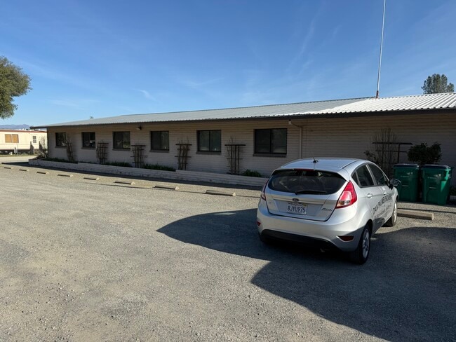

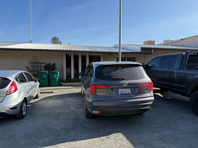

Property Detail
7211 Sands Ln
Industrialacreage
SHASTA
M-L
California
B and X Area of moderate flood hazard, usually the area between the limits of the 100-year and 500-year floods.
19.26 AC
2024
Other Market Areas
2025
Redding, CA
012301
051-040-016-000
NEARBY LISTINGS FOR SALE OR LEASE
DEMOGRAPHICS near 7211 Sands Ln
1 mile
3 mile
5 mile
2025 Total Population
1,996
12,811
53,877
2030 Population
2,004
12,828
53,915
Pop Growth 2025-2030
+ 0.40%
+ 0.13%
+ 0.07%
Average Age
41
42
42
2025 Total Households
809
4,939
20,535
HH Growth 2025-2030
+ 0.37%
+ 0.12%
+ 0.07%
Median Household Inc
$66,226
$77,589
$80,074
Avg Household Size
2.40
2.50
2.50
2025 Avg HH Vehicles
2.00
2.00
2.00
Median Home Value
$289,873
$332,542
$354,754
Median Year Built
1976
1977
1980
Nearby Places
Map Layers
Map Styles
 Street
 Aerial
Layers
 Traffic
 Biking
Places
Listings with unknown addresses are not visible on the map
- Restaurants
- Banks
- Shops
- Fitness
- Groceries
PUBLIC TRANSPORTATION
COMMUTER RAIL
Redding Amtrak (Coast Starlight - Amtrak)
Drive
Walk
Distance
Redding Amtrak (Coast Starlight - Amtrak)
13 min
7.6 mi
AIRPORT
Redding Regional
Drive
Walk
Distance
Redding Regional
14 min
8.5 mi
Freight Ports
Port of Richmond
Drive
Walk
Distance
Port of Richmond
226 min
199.3 mi
SALE & LEASE HISTORY
LISTING DATE
SALE/LEASE

Mar 11, 2025
For Lease
Apr 04, 2017
For Lease
Nearby Properties
Address
Land Use
TOTAL SIZE
Lot Size
Zoning
Address
Land Use
TOTAL SIZE
Lot Size
Zoning
344.24 AC
U
Address
Land Use
TOTAL SIZE
Lot Size
Zoning
20.19 AC
C-M
Address
Land Use
TOTAL SIZE
Lot Size
Zoning
3.50 AC
M-L
Address
Land Use
TOTAL SIZE
Lot Size
Zoning
12.26 AC
Address
Land Use
TOTAL SIZE
Lot Size
Zoning
56,474 SF
19.20 AC
Address
Land Use
TOTAL SIZE
Lot Size
Zoning
8.31 AC
Address
Land Use
TOTAL SIZE
Lot Size
Zoning
1,175 SF
3.91 AC
Address
Land Use
TOTAL SIZE
Lot Size
Zoning
7.56 AC
Address
Land Use
TOTAL SIZE
Lot Size
Zoning
9,100 SF
1.01 AC
Address
Land Use
TOTAL SIZE
Lot Size
Zoning
1,820 SF
16.80 AC
Address
Land Use
TOTAL SIZE
Lot Size
Zoning
17.80 AC
Address
Land Use
TOTAL SIZE
Lot Size
Zoning
182.49 AC
M
Address
Land Use
TOTAL SIZE
Lot Size
Zoning
1,440 SF
17.13 AC
R-R-T-BA-9
Address
Land Use
TOTAL SIZE
Lot Size
Zoning
72,496 SF
10.19 AC
Address
Land Use
TOTAL SIZE
Lot Size
Zoning
18,720 SF
5.05 AC
Address
Land Use
TOTAL SIZE
Lot Size
Zoning
13.10 AC
C-M-DR
Address
Land Use
TOTAL SIZE
Lot Size
Zoning
6.23 AC
Address
Land Use
TOTAL SIZE
Lot Size
Zoning
18,648 SF
2.61 AC
Address
Land Use
TOTAL SIZE
Lot Size
Zoning
2.58 AC
Address
Land Use
TOTAL SIZE
Lot Size
Zoning
17.22 AC
M
Address
Land Use
TOTAL SIZE
Lot Size
Zoning
1.30 AC
Address
Land Use
TOTAL SIZE
Lot Size
Zoning
20,000 SF
10.12 AC
Address
Land Use
TOTAL SIZE
Lot Size
Zoning
4,410 SF
5.67 AC
PD-MRB
Address
Land Use
TOTAL SIZE
Lot Size
Zoning
Address
Land Use
TOTAL SIZE
Lot Size
Zoning
2,764 SF
29.42 AC
A-1
Address
Land Use
TOTAL SIZE
Lot Size
Zoning
15.49 AC
A-1
Address
Land Use
TOTAL SIZE
Lot Size
Zoning
1.11 AC
Address
Land Use
TOTAL SIZE
Lot Size
Zoning
2,680 SF
0.72 AC
Address
Land Use
TOTAL SIZE
Lot Size
Zoning
5,000 SF
5 AC
M
The World's #1 Commercial Real Estate Marketplace
Connect with us
© 2026 CoStar Group
The information above has been obtained from sources believed reliable. While we do not doubt its accuracy we have not verified it and make no guarantee, warranty or representation about it. It is your responsibility to independently confirm its accuracy and completeness. Any projections, opinions, assumptions, or estimates used are for example only and do not represent the current or future performance of the property. The value of this transaction to you depends on tax and other factors which should be evaluated by your tax, financial, and legal advisors. You and your advisors should conduct a careful, independent investigation of the property to determine to your satisfaction the suitability of the property for your needs.