Property Record
722 International Blvd, Houston, TX 77024
NEARBY LISTINGS FOR SALE OR LEASE
Property Detail
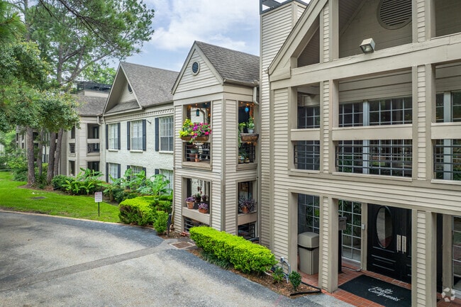
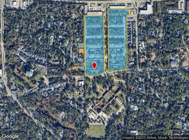
722 International Blvd
0951390000005
Abst 785 Eb Cogswell Continental Square
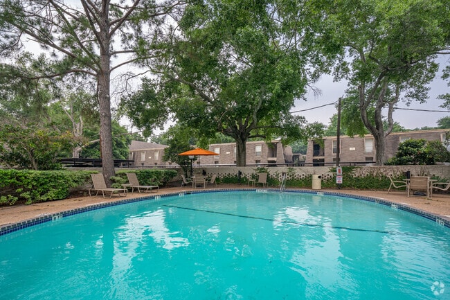
Apartment
TRS D E F & RES A2 & BLDG 1 & 3 9900 ON MEMORIAL & TR 7 ABST 785 EB COGSWELL CONTINENTAL SQUARE
X
Harris
48201C0665M
Texas
2024
25.73 AC
2025
Uptown Houston
430102
Houston
714,049 SF
Houston-The Woodlands-Sugar Land, TX
DEMOGRAPHICS near 722 International Blvd
1 Mile
3 Mile
5 Mile
2024 Total Population
10,363
135,941
494,189
2029 Population
10,708
141,274
511,487
Pop Growth 2024-2029
+ 3.33%
+ 3.92%
+ 3.50%
Average Age
42
40
38
2024 Total Households
4,590
61,983
220,831
HH Growth 2024-2029
+ 3.42%
+ 4.06%
+ 3.59%
Median Household Inc
$110,584
$85,443
$76,309
Avg Household Size
2.20
2.10
2.20
2024 Avg HH Vehicles
2.00
2.00
2.00
Median Home Value
$975,391
$645,383
$480,266
Median Year Built
1983
1986
1986
Nearby Places
Map Layers
Map Styles
 Street
 Aerial
- Restaurants
- Banks
- Shops
- Fitness
- Groceries
PUBLIC TRANSPORTATION
COMMUTER RAIL
Houston (Sunset Limited - Amtrak)
DRIVE
WALK
Distance
Houston (Sunset Limited - Amtrak)
14 min
8.4 mi
AIRPORT
William P Hobby
DRIVE
WALK
Distance
William P Hobby
35 min
20.8 mi
George Bush Intcntl/Houston
DRIVE
WALK
Distance
George Bush Intcntl/Houston
34 min
25.9 mi
Freight Ports
Port of Houston
DRIVE
WALK
Distance
Port of Houston
28 min
17.6 mi
Nearby Properties
Address
Land Use
TOTAL SIZE
Lot Size
Zoning
Address
Land Use
TOTAL SIZE
Lot Size
Zoning
576,253 SF
5.91 AC
Address
Land Use
TOTAL SIZE
Lot Size
Zoning
2,404,389 SF
16.01 AC
Address
Land Use
TOTAL SIZE
Lot Size
Zoning
716,631 SF
7.04 AC
Address
Land Use
TOTAL SIZE
Lot Size
Zoning
580,059 SF
2.48 AC
Address
Land Use
TOTAL SIZE
Lot Size
Zoning
329,832 SF
1.75 AC
Address
Land Use
TOTAL SIZE
Lot Size
Zoning
832,304 SF
6.24 AC
Address
Land Use
TOTAL SIZE
Lot Size
Zoning
608,704 SF
1.52 AC
Address
Land Use
TOTAL SIZE
Lot Size
Zoning
748,071 SF
4.13 AC
Address
Land Use
TOTAL SIZE
Lot Size
Zoning
771,702 SF
2.51 AC
Address
Land Use
TOTAL SIZE
Lot Size
Zoning
576,200 SF
2.65 AC
Address
Land Use
TOTAL SIZE
Lot Size
Zoning
527,312 SF
2.58 AC
Address
Land Use
TOTAL SIZE
Lot Size
Zoning
612,663 SF
7 AC
Address
Land Use
TOTAL SIZE
Lot Size
Zoning
549,506 SF
2.05 AC
Address
Land Use
TOTAL SIZE
Lot Size
Zoning
392,218 SF
1.21 AC
Address
Land Use
TOTAL SIZE
Lot Size
Zoning
1,012,117 SF
3.29 AC
Address
Land Use
TOTAL SIZE
Lot Size
Zoning
1,819,963 SF
5.30 AC
Address
Land Use
TOTAL SIZE
Lot Size
Zoning
214,297 SF
15.23 AC
Address
Land Use
TOTAL SIZE
Lot Size
Zoning
402,886 SF
17.95 AC
Address
Land Use
TOTAL SIZE
Lot Size
Zoning
415,160 SF
4.47 AC
Address
Land Use
TOTAL SIZE
Lot Size
Zoning
128,404 SF
2.88 AC
Address
Land Use
TOTAL SIZE
Lot Size
Zoning
571,822 SF
3.35 AC
Address
Land Use
TOTAL SIZE
Lot Size
Zoning
133,258 SF
11.56 AC
Address
Land Use
TOTAL SIZE
Lot Size
Zoning
515,130 SF
2.72 AC
Address
Land Use
TOTAL SIZE
Lot Size
Zoning
224,114 SF
4.24 AC
Address
Land Use
TOTAL SIZE
Lot Size
Zoning
702,286 SF
15.67 AC
Address
Land Use
TOTAL SIZE
Lot Size
Zoning
561,732 SF
6.10 AC
Address
Land Use
TOTAL SIZE
Lot Size
Zoning
281,973 SF
11.56 AC
Address
Land Use
TOTAL SIZE
Lot Size
Zoning
126,877 SF
34.71 AC
Address
Land Use
TOTAL SIZE
Lot Size
Zoning
385,587 SF
3.08 AC
The World's #1 Commercial Real Estate Marketplace
Connect with us
© 2025 CoStar Group
The information above has been obtained from sources believed reliable. While we do not doubt its accuracy we have not verified it and make no guarantee, warranty or representation about it. It is your responsibility to independently confirm its accuracy and completeness. Any projections, opinions, assumptions, or estimates used are for example only and do not represent the current or future performance of the property. The value of this transaction to you depends on tax and other factors which should be evaluated by your tax, financial, and legal advisors. You and your advisors should conduct a careful, independent investigation of the property to determine to your satisfaction the suitability of the property for your needs.