Property Record
725 N State St, Clairton, PA 15025


Property Detail
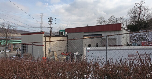
725 N State St
Pittsburgh, PA
WHIGHAM HTS PLAN 149-150-151 IRREG LOT 475.23XA VG213.195X 149.69 RR IN ALL STATE ST N 1 STY C B GAS STATION
0657-K-00247-0000-00
Allegheny
Warehouse
Pennsylvania
B and X Area of moderate flood hazard, usually the area between the limits of the 100-year and 500-year floods.
247
2024
1.29 AC
2025
South Pittsburgh/Rte 51
492700
Pittsburgh
NEARBY LISTINGS FOR SALE OR LEASE
DEMOGRAPHICS near 725 N State St
1 mile
3 mile
5 mile
2025 Total Population
4,101
35,286
110,151
2030 Population
4,138
35,420
109,768
Pop Growth 2025-2030
+ 0.90%
+ 0.38%
(0.35%)
Average Age
42
44
44
2025 Total Households
1,856
15,315
47,579
HH Growth 2025-2030
+ 0.97%
+ 0.36%
(0.37%)
Median Household Inc
$44,915
$58,789
$63,314
Avg Household Size
2.10
2.20
2.20
2025 Avg HH Vehicles
1.00
2.00
2.00
Median Home Value
$77,042
$126,284
$154,671
Median Year Built
1949
1952
1954
Nearby Places
Map Layers
Map Styles
 Street
 Aerial
Transit
 Traffic
 Biking
Places
Listings with unknown addresses are not visible on the map
- Restaurants
- Banks
- Shops
- Fitness
- Groceries
PUBLIC TRANSPORTATION
AIRPORT
Pittsburgh International
Drive
Walk
Distance
Pittsburgh International
50 min
29.1 mi
Arnold Palmer Regional
Drive
Walk
Distance
Arnold Palmer Regional
60 min
32.8 mi
SALE & LEASE HISTORY
LISTING DATE
SALE/LEASE

Feb 17, 2020
For Lease
Nearby Properties
Address
Land Use
TOTAL SIZE
Lot Size
Zoning
Address
Land Use
TOTAL SIZE
Lot Size
Zoning
183.54 AC
Address
Land Use
TOTAL SIZE
Lot Size
Zoning
160.53 AC
Address
Land Use
TOTAL SIZE
Lot Size
Zoning
10.68 AC
Address
Land Use
TOTAL SIZE
Lot Size
Zoning
33.09 AC
Address
Land Use
TOTAL SIZE
Lot Size
Zoning
14.61 AC
Address
Land Use
TOTAL SIZE
Lot Size
Zoning
460.86 AC
Address
Land Use
TOTAL SIZE
Lot Size
Zoning
2.98 AC
Address
Land Use
TOTAL SIZE
Lot Size
Zoning
72.10 AC
Address
Land Use
TOTAL SIZE
Lot Size
Zoning
74.33 AC
Address
Land Use
TOTAL SIZE
Lot Size
Zoning
37.90 AC
Address
Land Use
TOTAL SIZE
Lot Size
Zoning
43.15 AC
Address
Land Use
TOTAL SIZE
Lot Size
Zoning
35.72 AC
Address
Land Use
TOTAL SIZE
Lot Size
Zoning
2.77 AC
Address
Land Use
TOTAL SIZE
Lot Size
Zoning
10.13 AC
Address
Land Use
TOTAL SIZE
Lot Size
Zoning
242.22 AC
Address
Land Use
TOTAL SIZE
Lot Size
Zoning
Address
Land Use
TOTAL SIZE
Lot Size
Zoning
4.84 AC
Address
Land Use
TOTAL SIZE
Lot Size
Zoning
14.49 AC
Address
Land Use
TOTAL SIZE
Lot Size
Zoning
11.81 AC
Address
Land Use
TOTAL SIZE
Lot Size
Zoning
24.86 AC
Address
Land Use
TOTAL SIZE
Lot Size
Zoning
28.05 AC
Address
Land Use
TOTAL SIZE
Lot Size
Zoning
Address
Land Use
TOTAL SIZE
Lot Size
Zoning
77.33 AC
Address
Land Use
TOTAL SIZE
Lot Size
Zoning
Address
Land Use
TOTAL SIZE
Lot Size
Zoning
0.93 AC
Address
Land Use
TOTAL SIZE
Lot Size
Zoning
13.96 AC
Address
Land Use
TOTAL SIZE
Lot Size
Zoning
Address
Land Use
TOTAL SIZE
Lot Size
Zoning
7.03 AC
Address
Land Use
TOTAL SIZE
Lot Size
Zoning
5.50 AC
Address
Land Use
TOTAL SIZE
Lot Size
Zoning
1.80 AC
The World's #1 Commercial Real Estate Marketplace
Connect with us
© 2026 CoStar Group
The information above has been obtained from sources believed reliable. While we do not doubt its accuracy we have not verified it and make no guarantee, warranty or representation about it. It is your responsibility to independently confirm its accuracy and completeness. Any projections, opinions, assumptions, or estimates used are for example only and do not represent the current or future performance of the property. The value of this transaction to you depends on tax and other factors which should be evaluated by your tax, financial, and legal advisors. You and your advisors should conduct a careful, independent investigation of the property to determine to your satisfaction the suitability of the property for your needs.