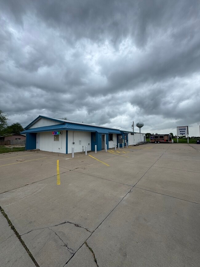
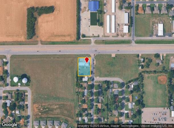
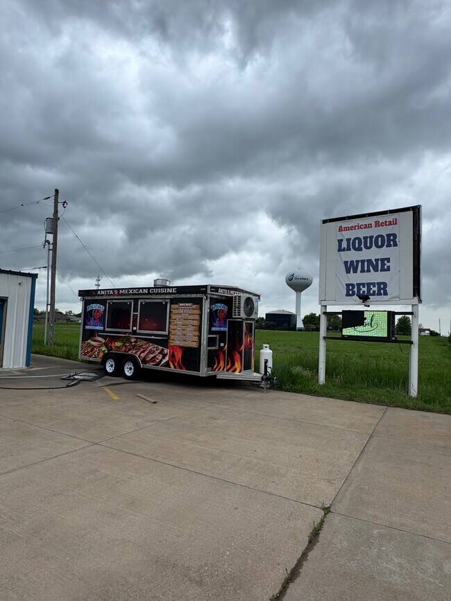
Property Record
727 N Walnut St, Goddard, KS 67052
Current Lease Availabilities
NEARBY LISTINGS FOR SALE OR LEASE
-
-
View all Goddard listings for lease on LoopNet.com
Property Detail
727 N Walnut St
Wichita, KS
Pruitt Add
149-31-0-12-03-001.00
LOT 1 BLOCK A PRUITT ADD.
Storebuilding
Sedgwick
X
Kansas
20173C0312G
1
2024
0.62 AC
2025
Goddard/West
009508
Wichita
3,178 SF
DEMOGRAPHICS near 727 N Walnut St
1 Mile
3 Mile
5 Mile
2024 Total Population
2,359
7,023
15,666
2029 Population
2,447
7,178
15,779
Pop Growth 2024-2029
+ 3.73%
+ 2.21%
+ 0.72%
Average Age
37
36
38
2024 Total Households
813
2,311
5,240
HH Growth 2024-2029
+ 3.44%
+ 2.03%
+ 0.61%
Median Household Inc
$86,950
$91,821
$104,564
Avg Household Size
2.80
3.00
2.90
2024 Avg HH Vehicles
3.00
3.00
3.00
Median Home Value
$176,501
$211,644
$258,835
Median Year Built
1983
2000
2002
Nearby Places
- Restaurants
- Banks
- Shops
- Fitness
- Groceries
PUBLIC TRANSPORTATION
AIRPORT
Wichita Dwight D Eisenhower Ntl
DRIVE
WALK
Distance
Wichita Dwight D Eisenhower Ntl
15 min
9.8 mi
Freight Ports
Tulsa Port Of Catoosa
DRIVE
WALK
Distance
Tulsa Port Of Catoosa
218 min
203.3 mi
Nearby Properties
Address
Land Use
TOTAL SIZE
Lot Size
Zoning
Address
Land Use
TOTAL SIZE
Lot Size
Zoning
478,786 SF
124.50 AC
SF-5,LC
Address
Land Use
TOTAL SIZE
Lot Size
Zoning
497,469 SF
127.37 AC
R1
Address
Land Use
TOTAL SIZE
Lot Size
Zoning
148,066 SF
45.68 AC
Address
Land Use
TOTAL SIZE
Lot Size
Zoning
95,466 SF
31.67 AC
SF-5
Address
Land Use
TOTAL SIZE
Lot Size
Zoning
138,621 SF
30.12 AC
R1
Address
Land Use
TOTAL SIZE
Lot Size
Zoning
82,667 SF
23.59 AC
R1
Address
Land Use
TOTAL SIZE
Lot Size
Zoning
65,436 SF
16.35 AC
R1
Address
Land Use
TOTAL SIZE
Lot Size
Zoning
42,541 SF
6.99 AC
SF-20
Address
Land Use
TOTAL SIZE
Lot Size
Zoning
64,014 SF
8.66 AC
R1
Address
Land Use
TOTAL SIZE
Lot Size
Zoning
25,716 SF
7.05 AC
C2
Address
Land Use
TOTAL SIZE
Lot Size
Zoning
11,019 SF
2.52 AC
C2
Address
Land Use
TOTAL SIZE
Lot Size
Zoning
127,160 SF
16.70 AC
C-2
Address
Land Use
TOTAL SIZE
Lot Size
Zoning
3,494 SF
26.85 AC
SF-20
Address
Land Use
TOTAL SIZE
Lot Size
Zoning
540,665 SF
48.80 AC
I1
Address
Land Use
TOTAL SIZE
Lot Size
Zoning
11,220 SF
3.62 AC
R1
Address
Land Use
TOTAL SIZE
Lot Size
Zoning
2,361 SF
10.80 AC
SF-20
Address
Land Use
TOTAL SIZE
Lot Size
Zoning
55,457 SF
1.26 AC
SF-20
Address
Land Use
TOTAL SIZE
Lot Size
Zoning
79,157 SF
5.10 AC
Address
Land Use
TOTAL SIZE
Lot Size
Zoning
145,748 SF
2 AC
I1
Address
Land Use
TOTAL SIZE
Lot Size
Zoning
5,892 SF
3.19 AC
SF-20
Address
Land Use
TOTAL SIZE
Lot Size
Zoning
7,500 SF
0.63 AC
C2
Address
Land Use
TOTAL SIZE
Lot Size
Zoning
6,832 SF
0.24 AC
C1
Address
Land Use
TOTAL SIZE
Lot Size
Zoning
30,241 SF
3.49 AC
C2
Address
Land Use
TOTAL SIZE
Lot Size
Zoning
18,771 SF
64.57 AC
Address
Land Use
TOTAL SIZE
Lot Size
Zoning
6,812 SF
9.06 AC
R1
Address
Land Use
TOTAL SIZE
Lot Size
Zoning
39,355 SF
14.13 AC
I1
Address
Land Use
TOTAL SIZE
Lot Size
Zoning
11.20 AC
SF-5
Address
Land Use
TOTAL SIZE
Lot Size
Zoning
5.46 AC
Address
Land Use
TOTAL SIZE
Lot Size
Zoning
13,064 SF
1.30 AC
C2
Address
Land Use
TOTAL SIZE
Lot Size
Zoning
2,820 SF
2.57 AC
R1
The World's #1 Commercial Real Estate Marketplace
Connect with us
© 2025 CoStar Group
The information above has been obtained from sources believed reliable. While we do not doubt its accuracy we have not verified it and make no guarantee, warranty or representation about it. It is your responsibility to independently confirm its accuracy and completeness. Any projections, opinions, assumptions, or estimates used are for example only and do not represent the current or future performance of the property. The value of this transaction to you depends on tax and other factors which should be evaluated by your tax, financial, and legal advisors. You and your advisors should conduct a careful, independent investigation of the property to determine to your satisfaction the suitability of the property for your needs.