Property Record
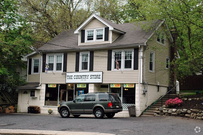
729 Rivervale Rd, River Vale, NJ 07675


Property Detail
729 Rivervale Rd
53-00501-0000-00012
100X100 4.0LT
Commercialnec
Bergen
A
New Jersey
B and X Area of moderate flood hazard, usually the area between the limits of the 100-year and 500-year floods.
12
2024
0.23 AC
2025
North Central Bergen
049001
Northern New Jersey
2,244 SF
New York-Jersey City-White Plains, NY-NJ
NEARBY LISTINGS FOR SALE OR LEASE
DEMOGRAPHICS near 729 Rivervale Rd
1 mile
3 mile
5 mile
2025 Total Population
6,597
75,787
179,402
2030 Population
6,824
78,454
186,213
Pop Growth 2025-2030
+ 3.44%
+ 3.52%
+ 3.80%
Average Age
43
43
43
2025 Total Households
2,246
26,777
61,902
HH Growth 2025-2030
+ 3.43%
+ 3.57%
+ 3.82%
Median Household Inc
$200,621
$164,054
$158,528
Avg Household Size
2.90
2.80
2.80
2025 Avg HH Vehicles
2.00
2.00
2.00
Median Home Value
$783,255
$731,900
$741,982
Median Year Built
1965
1963
1964
Nearby Places
Map Layers
Map Styles
 Street
 Aerial
Transit
 Traffic
 Biking
Places
Listings with unknown addresses are not visible on the map
- Restaurants
- Banks
- Shops
- Fitness
- Groceries
PUBLIC TRANSPORTATION
COMMUTER RAIL
Montvale (Pascack Valley Line - NJ Transit Commuter Rail (NJ Transit))
Drive
Walk
Distance
Montvale (Pascack Valley Line - NJ Transit Commuter Rail (NJ Transit))
3 min
1.8 mi
Park Ridge (Pascack Valley Line - NJ Transit Commuter Rail (NJ Transit))
Drive
Walk
Distance
Park Ridge (Pascack Valley Line - NJ Transit Commuter Rail (NJ Transit))
4 min
2.4 mi
AIRPORT
Westchester County
Drive
Walk
Distance
Westchester County
40 min
26.9 mi
LaGuardia
Drive
Walk
Distance
LaGuardia
43 min
27.1 mi
Newark Liberty International
Drive
Walk
Distance
Newark Liberty International
39 min
29.8 mi
Freight Ports
NY - Red Hook Container Terminal
Drive
Walk
Distance
NY - Red Hook Container Terminal
53 min
31.0 mi
Nearby Properties
Address
Land Use
TOTAL SIZE
Lot Size
Zoning
Address
Land Use
TOTAL SIZE
Lot Size
Zoning
Address
Land Use
TOTAL SIZE
Lot Size
Zoning
21.74 AC
SC
Address
Land Use
TOTAL SIZE
Lot Size
Zoning
845.02 AC
Address
Land Use
TOTAL SIZE
Lot Size
Zoning
191,950 SF
43.03 AC
RA25
Address
Land Use
TOTAL SIZE
Lot Size
Zoning
24.45 AC
R40
Address
Land Use
TOTAL SIZE
Lot Size
Zoning
62,728 SF
14.49 AC
RA15
Address
Land Use
TOTAL SIZE
Lot Size
Zoning
1,295,615 SF
93.54 AC
OP
Address
Land Use
TOTAL SIZE
Lot Size
Zoning
5.96 AC
Address
Land Use
TOTAL SIZE
Lot Size
Zoning
144,751 SF
22.87 AC
RA
Address
Land Use
TOTAL SIZE
Lot Size
Zoning
440 SF
98.43 AC
EO
Address
Land Use
TOTAL SIZE
Lot Size
Zoning
8.02 AC
BUS2
Address
Land Use
TOTAL SIZE
Lot Size
Zoning
11.45 AC
A
Address
Land Use
TOTAL SIZE
Lot Size
Zoning
41,552 SF
115.62 AC
A-1
Address
Land Use
TOTAL SIZE
Lot Size
Zoning
14.56 AC
ORL
Address
Land Use
TOTAL SIZE
Lot Size
Zoning
161,812 SF
5.66 AC
R3
Address
Land Use
TOTAL SIZE
Lot Size
Zoning
2.95 AC
R3
Address
Land Use
TOTAL SIZE
Lot Size
Zoning
132,614 SF
15.74 AC
OR3
Address
Land Use
TOTAL SIZE
Lot Size
Zoning
11.94 AC
ORL
Address
Land Use
TOTAL SIZE
Lot Size
Zoning
60,798 SF
22.08 AC
A
Address
Land Use
TOTAL SIZE
Lot Size
Zoning
0.79 AC
Address
Land Use
TOTAL SIZE
Lot Size
Zoning
63,790 SF
24.60 AC
R225
Address
Land Use
TOTAL SIZE
Lot Size
Zoning
2.07 AC
R3
Address
Land Use
TOTAL SIZE
Lot Size
Zoning
119,025 SF
16.57 AC
OR3
Address
Land Use
TOTAL SIZE
Lot Size
Zoning
13 AC
R40
Address
Land Use
TOTAL SIZE
Lot Size
Zoning
75,145 SF
4.81 AC
C
Address
Land Use
TOTAL SIZE
Lot Size
Zoning
1,560 SF
52 AC
R1
Address
Land Use
TOTAL SIZE
Lot Size
Zoning
60,042 SF
5.49 AC
C
Address
Land Use
TOTAL SIZE
Lot Size
Zoning
1,872 SF
48.93 AC
RA40
Address
Land Use
TOTAL SIZE
Lot Size
Zoning
54,347 SF
3.88 AC
B1
Address
Land Use
TOTAL SIZE
Lot Size
Zoning
8.50 AC
R20
The World's #1 Commercial Real Estate Marketplace
Connect with us
© 2026 CoStar Group
The information above has been obtained from sources believed reliable. While we do not doubt its accuracy we have not verified it and make no guarantee, warranty or representation about it. It is your responsibility to independently confirm its accuracy and completeness. Any projections, opinions, assumptions, or estimates used are for example only and do not represent the current or future performance of the property. The value of this transaction to you depends on tax and other factors which should be evaluated by your tax, financial, and legal advisors. You and your advisors should conduct a careful, independent investigation of the property to determine to your satisfaction the suitability of the property for your needs.