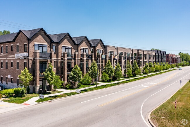
Property Record
730 E Irving Park Rd, Roselle, IL 60172
Property Detail
730 E Irving Park Rd
Chicago-Naperville-Elgin, IL-IN
H O STONE & COS ADD TO ITASCA
02-02-304-005
DuPage
Commercialnec
Illinois
B and X Area of moderate flood hazard, usually the area between the limits of the 100-year and 500-year floods.
1
2024
2.34 AC
2024
North DuPage County
840201
Chicago
101,282 SF
NEARBY LISTINGS FOR SALE OR LEASE
-
-
View all Roselle listings for sale on LoopNet.com
DEMOGRAPHICS near 730 E Irving Park Rd
1 mile
3 mile
5 mile
2025 Total Population
10,021
91,571
256,681
2030 Population
10,143
92,102
258,388
Pop Growth 2025-2030
+ 1.22%
+ 0.58%
+ 0.67%
Average Age
42
43
42
2025 Total Households
3,994
35,020
94,271
HH Growth 2025-2030
+ 1.08%
+ 0.47%
+ 0.53%
Median Household Inc
$103,102
$103,543
$97,232
Avg Household Size
2.50
2.50
2.60
2025 Avg HH Vehicles
2.00
2.00
2.00
Median Home Value
$357,496
$362,729
$326,267
Median Year Built
1973
1977
1975
Nearby Places
Map Layers
Map Styles
 Street
 Aerial
Layers
 Traffic
 Biking
Places
Listings with unknown addresses are not visible on the map
- Restaurants
- Banks
- Shops
- Fitness
- Groceries
PUBLIC TRANSPORTATION
COMMUTER RAIL
Roselle Station (Milwaukee District West Line - Northeast Illinois Regional Commuter Railroad (Metra))
Drive
Walk
Distance
Roselle Station (Milwaukee District West Line - Northeast Illinois Regional Commuter Railroad (Metra))
3 min
6 min
0.3 mi
Medinah Station (Milwaukee District West Line - Northeast Illinois Regional Commuter Railroad (Metra))
Drive
Walk
Distance
Medinah Station (Milwaukee District West Line - Northeast Illinois Regional Commuter Railroad (Metra))
2 min
12 min
0.7 mi
AIRPORT
Chicago O'Hare International
Drive
Walk
Distance
Chicago O'Hare International
23 min
13.7 mi
Chicago Midway International
Drive
Walk
Distance
Chicago Midway International
39 min
25.6 mi
Freight Ports
Port Milwaukee
Drive
Walk
Distance
Port Milwaukee
107 min
86.0 mi
Nearby Properties
Address
Land Use
TOTAL SIZE
Lot Size
Zoning
Address
Land Use
TOTAL SIZE
Lot Size
Zoning
18.91 AC
Address
Land Use
TOTAL SIZE
Lot Size
Zoning
457,762 SF
23 AC
M
Address
Land Use
TOTAL SIZE
Lot Size
Zoning
Address
Land Use
TOTAL SIZE
Lot Size
Zoning
525,422 SF
8.45 AC
C
Address
Land Use
TOTAL SIZE
Lot Size
Zoning
487,027 SF
8.36 AC
C
Address
Land Use
TOTAL SIZE
Lot Size
Zoning
450,614 SF
17.97 AC
C
Address
Land Use
TOTAL SIZE
Lot Size
Zoning
24.82 AC
Address
Land Use
TOTAL SIZE
Lot Size
Zoning
24.82 AC
Address
Land Use
TOTAL SIZE
Lot Size
Zoning
24.82 AC
Address
Land Use
TOTAL SIZE
Lot Size
Zoning
489,153 SF
18.90 AC
I
Address
Land Use
TOTAL SIZE
Lot Size
Zoning
226,069 SF
14.85 AC
Address
Land Use
TOTAL SIZE
Lot Size
Zoning
288,000 SF
11.05 AC
C
Address
Land Use
TOTAL SIZE
Lot Size
Zoning
136,975 SF
1.90 AC
Address
Land Use
TOTAL SIZE
Lot Size
Zoning
320,430 SF
16.56 AC
I
Address
Land Use
TOTAL SIZE
Lot Size
Zoning
345,881 SF
12.66 AC
I
Address
Land Use
TOTAL SIZE
Lot Size
Zoning
71,184 SF
22.49 AC
Address
Land Use
TOTAL SIZE
Lot Size
Zoning
4.08 AC
Address
Land Use
TOTAL SIZE
Lot Size
Zoning
11.13 AC
Address
Land Use
TOTAL SIZE
Lot Size
Zoning
Address
Land Use
TOTAL SIZE
Lot Size
Zoning
286,305 SF
12.29 AC
I
Address
Land Use
TOTAL SIZE
Lot Size
Zoning
211,392 SF
11.94 AC
R
Address
Land Use
TOTAL SIZE
Lot Size
Zoning
357,241 SF
25.69 AC
Address
Land Use
TOTAL SIZE
Lot Size
Zoning
249,266 SF
15.05 AC
I
Address
Land Use
TOTAL SIZE
Lot Size
Zoning
346,165 SF
3.15 AC
Address
Land Use
TOTAL SIZE
Lot Size
Zoning
66,774 SF
3.46 AC
Address
Land Use
TOTAL SIZE
Lot Size
Zoning
60,372 SF
8.99 AC
I
Address
Land Use
TOTAL SIZE
Lot Size
Zoning
155,610 SF
4.83 AC
C
Address
Land Use
TOTAL SIZE
Lot Size
Zoning
196,090 SF
5.47 AC
C
Address
Land Use
TOTAL SIZE
Lot Size
Zoning
229,759 SF
12.90 AC
I
The World's #1 Commercial Real Estate Marketplace
Connect with us
© 2026 CoStar Group
The information above has been obtained from sources believed reliable. While we do not doubt its accuracy we have not verified it and make no guarantee, warranty or representation about it. It is your responsibility to independently confirm its accuracy and completeness. Any projections, opinions, assumptions, or estimates used are for example only and do not represent the current or future performance of the property. The value of this transaction to you depends on tax and other factors which should be evaluated by your tax, financial, and legal advisors. You and your advisors should conduct a careful, independent investigation of the property to determine to your satisfaction the suitability of the property for your needs.