Property Record
7300 E Doubletree Ranch Rd, Scottsdale, AZ 85258

NEARBY LISTINGS FOR SALE OR LEASE
-
-
View all Scottsdale listings for sale on LoopNet.com
Property Detail
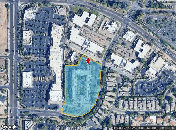
7300 E Doubletree Ranch Rd
174-29-143D
PT NW4 SEC 35 T3N R4E DAF COM NW COR SEC TH N 89D 21M E 329.97F TH ELY ALG 1799.48F RAD CUR CONC SLY 330.01F TH S 09D 51M W 55F TH CONT S 09D 51M W 450.99F TH S 62D 31M E 232F TO POB TH CONT S 62D 31M E 234.17F TH SLY ALG 360F RAD CUR WH BRS S 83D 12
Hotel
Maricopa
X
Arizona
04013C1760L
411
2025
5.11 AC
2025
Scottsdale
216807
Phoenix
123,655 SF
Phoenix-Mesa-Chandler, AZ
DEMOGRAPHICS near 7300 E Doubletree Ranch Rd
1 Mile
3 Mile
5 Mile
2024 Total Population
6,511
59,040
187,614
2029 Population
7,139
64,954
206,280
Pop Growth 2024-2029
+ 9.65%
+ 10.02%
+ 9.95%
Average Age
50
48
46
2024 Total Households
3,027
27,426
88,469
HH Growth 2024-2029
+ 9.88%
+ 10.21%
+ 10.32%
Median Household Inc
$119,557
$109,444
$101,066
Avg Household Size
2.10
2.10
2.10
2024 Avg HH Vehicles
2.00
2.00
2.00
Median Home Value
$805,880
$754,221
$676,556
Median Year Built
1986
1984
1985
Nearby Places
Map Layers
Map Styles
 Street
 Aerial
- Restaurants
- Banks
- Shops
- Fitness
- Groceries
PUBLIC TRANSPORTATION
AIRPORT
Phoenix Sky Harbor International
DRIVE
WALK
Distance
Phoenix Sky Harbor International
25 min
13.6 mi
Phoenix-Mesa Gateway
DRIVE
WALK
Distance
Phoenix-Mesa Gateway
47 min
33.0 mi
Freight Ports
Port of San Diego
DRIVE
WALK
Distance
Port of San Diego
419 min
370.2 mi
Nearby Properties
Address
Land Use
TOTAL SIZE
Lot Size
Zoning
Address
Land Use
TOTAL SIZE
Lot Size
Zoning
500,010 SF
4.52 AC
PF
Address
Land Use
TOTAL SIZE
Lot Size
Zoning
367,367 SF
37.89 AC
R-43
Address
Land Use
TOTAL SIZE
Lot Size
Zoning
623,263 SF
27.34 AC
M-H
Address
Land Use
TOTAL SIZE
Lot Size
Zoning
440,573 SF
19.10 AC
SUPR
Address
Land Use
TOTAL SIZE
Lot Size
Zoning
380,106 SF
38.10 AC
C-T
Address
Land Use
TOTAL SIZE
Lot Size
Zoning
9,232 SF
4.07 AC
R-35
Address
Land Use
TOTAL SIZE
Lot Size
Zoning
355,757 SF
32.44 AC
C-R
Address
Land Use
TOTAL SIZE
Lot Size
Zoning
457,979 SF
9.26 AC
CO
Address
Land Use
TOTAL SIZE
Lot Size
Zoning
734,506 SF
7.75 AC
C-T
Address
Land Use
TOTAL SIZE
Lot Size
Zoning
22,630 SF
1.06 AC
SUPP
Address
Land Use
TOTAL SIZE
Lot Size
Zoning
515,127 SF
7.57 AC
C-T
Address
Land Use
TOTAL SIZE
Lot Size
Zoning
289,633 SF
9.11 AC
R-10
Address
Land Use
TOTAL SIZE
Lot Size
Zoning
250,415 SF
21 AC
I-P
Address
Land Use
TOTAL SIZE
Lot Size
Zoning
355,399 SF
7.13 AC
C-C
Address
Land Use
TOTAL SIZE
Lot Size
Zoning
163,075 SF
17.77 AC
C-R
Address
Land Use
TOTAL SIZE
Lot Size
Zoning
353,691 SF
16.18 AC
M-H
Address
Land Use
TOTAL SIZE
Lot Size
Zoning
166,962 SF
52.81 AC
Address
Land Use
TOTAL SIZE
Lot Size
Zoning
121,740 SF
22.13 AC
SUPR
Address
Land Use
TOTAL SIZE
Lot Size
Zoning
345,713 SF
18.25 AC
M-H
Address
Land Use
TOTAL SIZE
Lot Size
Zoning
138,984 SF
14.30 AC
C-C
Address
Land Use
TOTAL SIZE
Lot Size
Zoning
247,810 SF
29.27 AC
Address
Land Use
TOTAL SIZE
Lot Size
Zoning
120,666 SF
16.55 AC
R-35
Address
Land Use
TOTAL SIZE
Lot Size
Zoning
20,355 SF
38.96 AC
M-H
Address
Land Use
TOTAL SIZE
Lot Size
Zoning
358,139 SF
5.31 AC
PUD
Address
Land Use
TOTAL SIZE
Lot Size
Zoning
270,059 SF
10.61 AC
M-H
Address
Land Use
TOTAL SIZE
Lot Size
Zoning
359,568 SF
19 AC
RT
Address
Land Use
TOTAL SIZE
Lot Size
Zoning
352,440 SF
17.51 AC
R-5
Address
Land Use
TOTAL SIZE
Lot Size
Zoning
240,248 SF
4.67 AC
C-T
Address
Land Use
TOTAL SIZE
Lot Size
Zoning
369,186 SF
12.45 AC
Address
Land Use
TOTAL SIZE
Lot Size
Zoning
360,143 SF
11.88 AC
C-C
The World's #1 Commercial Real Estate Marketplace
Connect with us
© 2026 CoStar Group
The information above has been obtained from sources believed reliable. While we do not doubt its accuracy we have not verified it and make no guarantee, warranty or representation about it. It is your responsibility to independently confirm its accuracy and completeness. Any projections, opinions, assumptions, or estimates used are for example only and do not represent the current or future performance of the property. The value of this transaction to you depends on tax and other factors which should be evaluated by your tax, financial, and legal advisors. You and your advisors should conduct a careful, independent investigation of the property to determine to your satisfaction the suitability of the property for your needs.