Property Record
7331 Albany Post Rd, Red Hook, NY 12571

NEARBY LISTINGS FOR SALE OR LEASE
Property Detail
7331 Albany Post Rd
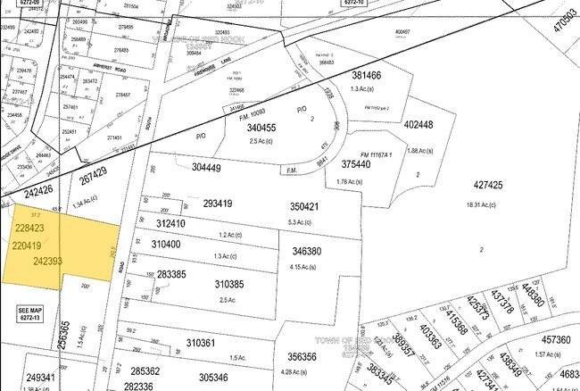
134889-6272-00-242393-0001
2.989 AC(D) 1901 0146 0794 0259
Restaurantbuilding
Dutchess
X
New York
36027C0132E
242
2025
Fishkill
2024
Westchester/So Connecticut
150004
Dutchess County-Putnam County, NY
3,387 SF
DEMOGRAPHICS near 7331 Albany Post Rd
1 Mile
3 Mile
5 Mile
2024 Total Population
3,089
8,505
18,214
2029 Population
3,122
8,561
18,308
Pop Growth 2024-2029
+ 1.07%
+ 0.66%
+ 0.52%
Average Age
44
44
46
2024 Total Households
1,320
3,348
7,544
HH Growth 2024-2029
+ 0.91%
+ 0.63%
+ 0.49%
Median Household Inc
$85,274
$100,577
$97,328
Avg Household Size
2.30
2.40
2.30
2024 Avg HH Vehicles
2.00
2.00
2.00
Median Home Value
$339,846
$390,793
$404,736
Median Year Built
1966
1971
1971
Nearby Places
Map Layers
Map Styles
 Street
 Aerial
- Restaurants
- Banks
- Shops
- Fitness
- Groceries
Nearby Properties
Address
Land Use
TOTAL SIZE
Lot Size
Zoning
Address
Land Use
TOTAL SIZE
Lot Size
Zoning
108,250 SF
16.40 AC
I
Address
Land Use
TOTAL SIZE
Lot Size
Zoning
10 AC
R-20
Address
Land Use
TOTAL SIZE
Lot Size
Zoning
50,180 SF
14.18 AC
TND-CC
Address
Land Use
TOTAL SIZE
Lot Size
Zoning
108,009 SF
54.40 AC
I
Address
Land Use
TOTAL SIZE
Lot Size
Zoning
1,875 SF
5.73 AC
R1.5
Address
Land Use
TOTAL SIZE
Lot Size
Zoning
Address
Land Use
TOTAL SIZE
Lot Size
Zoning
2.55 AC
NMU
Address
Land Use
TOTAL SIZE
Lot Size
Zoning
27,360 SF
2.42 AC
NMU
Address
Land Use
TOTAL SIZE
Lot Size
Zoning
16.58 AC
R-20
Address
Land Use
TOTAL SIZE
Lot Size
Zoning
5,617 SF
228.26 AC
ABD
Address
Land Use
TOTAL SIZE
Lot Size
Zoning
11,580 SF
4.09 AC
M
Address
Land Use
TOTAL SIZE
Lot Size
Zoning
3,200 SF
142.47 AC
ABD
Address
Land Use
TOTAL SIZE
Lot Size
Zoning
4,191 SF
213.90 AC
A3A
Address
Land Use
TOTAL SIZE
Lot Size
Zoning
14,549 SF
1.10 AC
GB
Address
Land Use
TOTAL SIZE
Lot Size
Zoning
5,377 SF
11.14 AC
R-10
Address
Land Use
TOTAL SIZE
Lot Size
Zoning
36,941 SF
13.29 AC
TND-CC
Address
Land Use
TOTAL SIZE
Lot Size
Zoning
19,012 SF
203 AC
RD3
Address
Land Use
TOTAL SIZE
Lot Size
Zoning
5,588 SF
60.07 AC
A3A
Address
Land Use
TOTAL SIZE
Lot Size
Zoning
27,830 SF
1.33 AC
LIB
Address
Land Use
TOTAL SIZE
Lot Size
Zoning
640 SF
13.70 AC
A3A
Address
Land Use
TOTAL SIZE
Lot Size
Zoning
9,108 SF
47.15 AC
ABD
Address
Land Use
TOTAL SIZE
Lot Size
Zoning
30,180 SF
6.41 AC
TND-CC
Address
Land Use
TOTAL SIZE
Lot Size
Zoning
7,807 SF
90.37 AC
A3A
Address
Land Use
TOTAL SIZE
Lot Size
Zoning
4,095 SF
175.64 AC
A3A
Address
Land Use
TOTAL SIZE
Lot Size
Zoning
240 SF
168.08 AC
ABD
Address
Land Use
TOTAL SIZE
Lot Size
Zoning
33,540 SF
0.99 AC
B2
Address
Land Use
TOTAL SIZE
Lot Size
Zoning
16,980 SF
53.17 AC
I
Address
Land Use
TOTAL SIZE
Lot Size
Zoning
1.30 AC
R-10
Address
Land Use
TOTAL SIZE
Lot Size
Zoning
7,412 SF
15.60 AC
RD3
Address
Land Use
TOTAL SIZE
Lot Size
Zoning
4,945 SF
0.96 AC
NMU
The World's #1 Commercial Real Estate Marketplace
Connect with us
© 2025 CoStar Group
The information above has been obtained from sources believed reliable. While we do not doubt its accuracy we have not verified it and make no guarantee, warranty or representation about it. It is your responsibility to independently confirm its accuracy and completeness. Any projections, opinions, assumptions, or estimates used are for example only and do not represent the current or future performance of the property. The value of this transaction to you depends on tax and other factors which should be evaluated by your tax, financial, and legal advisors. You and your advisors should conduct a careful, independent investigation of the property to determine to your satisfaction the suitability of the property for your needs.