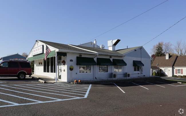
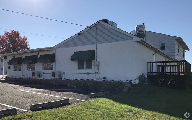
Property Record
734 W Main St, Trappe, PA 19426
NEARBY LISTINGS FOR SALE OR LEASE
Property Detail
734 W Main St
23-00-00571-009
ASSESSOR BLOCK-UNIT NUMBER 4-26
Commercialnec
Montgomery
X
Pennsylvania
42091C0228G
26
2024
0.98 AC
2025
West Montgomery County
206400
Philadelphia
6,376 SF
Philadelphia-Camden-Wilmington, PA-NJ-DE-MD
DEMOGRAPHICS near 734 W Main St
1 Mile
3 Mile
5 Mile
2024 Total Population
5,664
47,244
107,211
2029 Population
5,832
48,125
109,386
Pop Growth 2024-2029
+ 2.97%
+ 1.86%
+ 2.03%
Average Age
39
40
40
2024 Total Households
2,060
15,673
38,169
HH Growth 2024-2029
+ 2.82%
+ 1.93%
+ 2.22%
Median Household Inc
$132,375
$126,804
$113,065
Avg Household Size
2.70
2.70
2.60
2024 Avg HH Vehicles
2.00
2.00
2.00
Median Home Value
$406,179
$417,551
$396,686
Median Year Built
1994
1991
1991
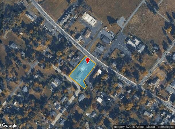
Nearby Places
Map Layers
Map Styles
 Street
 Aerial
- Restaurants
- Banks
- Shops
- Fitness
- Groceries
PUBLIC TRANSPORTATION
COMMUTER RAIL
Main Street (Norristown) (R6 - Southeastern Pennsylvania Transportation Authority Regional Rail (SEPTA Regional Rail))
DRIVE
WALK
Distance
Main Street (Norristown) (R6 - Southeastern Pennsylvania Transportation Authority Regional Rail (SEPTA Regional Rail))
21 min
9.6 mi
Elm Street (Norristown) (R6 - Southeastern Pennsylvania Transportation Authority Regional Rail (SEPTA Regional Rail))
DRIVE
WALK
Distance
Elm Street (Norristown) (R6 - Southeastern Pennsylvania Transportation Authority Regional Rail (SEPTA Regional Rail))
21 min
9.8 mi
AIRPORT
Philadelphia International
DRIVE
WALK
Distance
Philadelphia International
62 min
39.9 mi
Lehigh Valley International
DRIVE
WALK
Distance
Lehigh Valley International
68 min
44.3 mi
Freight Ports
South Jersey Port
DRIVE
WALK
Distance
South Jersey Port
56 min
35.9 mi
Nearby Properties
Address
Land Use
TOTAL SIZE
Lot Size
Zoning
Address
Land Use
TOTAL SIZE
Lot Size
Zoning
1.74 AC
IR
Address
Land Use
TOTAL SIZE
Lot Size
Zoning
975,535 SF
67.40 AC
R2
Address
Land Use
TOTAL SIZE
Lot Size
Zoning
1,113,725 SF
196.05 AC
IO
Address
Land Use
TOTAL SIZE
Lot Size
Zoning
989,814 SF
8.87 AC
IO
Address
Land Use
TOTAL SIZE
Lot Size
Zoning
768,913 SF
81.88 AC
IO
Address
Land Use
TOTAL SIZE
Lot Size
Zoning
463,481 SF
79.65 AC
R1
Address
Land Use
TOTAL SIZE
Lot Size
Zoning
416,228 SF
18.24 AC
R3
Address
Land Use
TOTAL SIZE
Lot Size
Zoning
425,899 SF
78.61 AC
R1
Address
Land Use
TOTAL SIZE
Lot Size
Zoning
634,096 SF
3.09 AC
IO
Address
Land Use
TOTAL SIZE
Lot Size
Zoning
217,154 SF
77.97 AC
R1
Address
Land Use
TOTAL SIZE
Lot Size
Zoning
400,875 SF
32.32 AC
IO
Address
Land Use
TOTAL SIZE
Lot Size
Zoning
160,533 SF
30.50 AC
PRD
Address
Land Use
TOTAL SIZE
Lot Size
Zoning
271,556 SF
38.87 AC
R4
Address
Land Use
TOTAL SIZE
Lot Size
Zoning
233,630 SF
15 AC
R4
Address
Land Use
TOTAL SIZE
Lot Size
Zoning
125,788 SF
24.83 AC
R1
Address
Land Use
TOTAL SIZE
Lot Size
Zoning
152,928 SF
20.28 AC
R1
Address
Land Use
TOTAL SIZE
Lot Size
Zoning
103,819 SF
33 AC
R1
Address
Land Use
TOTAL SIZE
Lot Size
Zoning
124,079 SF
16.92 AC
MS
Address
Land Use
TOTAL SIZE
Lot Size
Zoning
134,334 SF
21.95 AC
RB
Address
Land Use
TOTAL SIZE
Lot Size
Zoning
68,378 SF
27 AC
R3
Address
Land Use
TOTAL SIZE
Lot Size
Zoning
137,596 SF
41 AC
IN
Address
Land Use
TOTAL SIZE
Lot Size
Zoning
176,130 SF
18.88 AC
C3
Address
Land Use
TOTAL SIZE
Lot Size
Zoning
84,664 SF
14.71 AC
R2
Address
Land Use
TOTAL SIZE
Lot Size
Zoning
98,208 SF
2.26 AC
CRSC
Address
Land Use
TOTAL SIZE
Lot Size
Zoning
137,689 SF
21.46 AC
GC
Address
Land Use
TOTAL SIZE
Lot Size
Zoning
83,186 SF
11.81 AC
CRSC
Address
Land Use
TOTAL SIZE
Lot Size
Zoning
66,894 SF
14.18 AC
R2
Address
Land Use
TOTAL SIZE
Lot Size
Zoning
80,565 SF
9.82 AC
IN
Address
Land Use
TOTAL SIZE
Lot Size
Zoning
88,738 SF
9.63 AC
GA
Address
Land Use
TOTAL SIZE
Lot Size
Zoning
70,234 SF
24.42 AC
IN
The World's #1 Commercial Real Estate Marketplace
Connect with us
© 2025 CoStar Group
The information above has been obtained from sources believed reliable. While we do not doubt its accuracy we have not verified it and make no guarantee, warranty or representation about it. It is your responsibility to independently confirm its accuracy and completeness. Any projections, opinions, assumptions, or estimates used are for example only and do not represent the current or future performance of the property. The value of this transaction to you depends on tax and other factors which should be evaluated by your tax, financial, and legal advisors. You and your advisors should conduct a careful, independent investigation of the property to determine to your satisfaction the suitability of the property for your needs.