Property Record
156 W 5Th St, Grafton, ND 58237


NEARBY LISTINGS FOR SALE OR LEASE
-
-
View all Grafton listings for sale on LoopNet.com
Property Detail
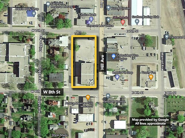
156 W 5Th St
Other Market Areas
Original Township
37-0000-08624-000
Walsh
Singlefamilyresidentialassumed
North Dakota
X
0.08 AC
38099C0655D
North Dakota Area
DEMOGRAPHICS near 156 W 5Th St
1 Mile
3 Mile
5 Mile
2024 Total Population
4,598
4,823
5,051
2029 Population
4,611
4,832
5,056
Pop Growth 2024-2029
+ 0.28%
+ 0.19%
+ 0.10%
Average Age
42
42
42
2024 Total Households
1,926
2,017
2,108
HH Growth 2024-2029
+ 0.31%
+ 0.25%
+ 0.14%
Median Household Inc
$49,649
$50,382
$51,331
Avg Household Size
2.20
2.20
2.20
2024 Avg HH Vehicles
2.00
2.00
2.00
Median Home Value
$113,988
$114,706
$117,051
Median Year Built
1972
1971
1971
Nearby Places
Map Layers
Map Styles
 Street
 Aerial
- Restaurants
- Banks
- Shops
- Fitness
- Groceries
SALE & LEASE HISTORY
LISTING DATE
SALE/LEASE

Mar 01, 2023
For Sale
Apr 08, 2024
For Sale
Nearby Properties
Address
Land Use
TOTAL SIZE
Lot Size
Zoning
Address
Land Use
TOTAL SIZE
Lot Size
Zoning
1.47 AC
Address
Land Use
TOTAL SIZE
Lot Size
Zoning
2.39 AC
Address
Land Use
TOTAL SIZE
Lot Size
Zoning
4.67 AC
Address
Land Use
TOTAL SIZE
Lot Size
Zoning
27.01 AC
Address
Land Use
TOTAL SIZE
Lot Size
Zoning
0.16 AC
Address
Land Use
TOTAL SIZE
Lot Size
Zoning
0.45 AC
Address
Land Use
TOTAL SIZE
Lot Size
Zoning
0.88 AC
Address
Land Use
TOTAL SIZE
Lot Size
Zoning
1.69 AC
Address
Land Use
TOTAL SIZE
Lot Size
Zoning
Address
Land Use
TOTAL SIZE
Lot Size
Zoning
1.94 AC
Address
Land Use
TOTAL SIZE
Lot Size
Zoning
2.05 AC
Address
Land Use
TOTAL SIZE
Lot Size
Zoning
2.71 AC
Address
Land Use
TOTAL SIZE
Lot Size
Zoning
4.49 AC
Address
Land Use
TOTAL SIZE
Lot Size
Zoning
3.29 AC
Address
Land Use
TOTAL SIZE
Lot Size
Zoning
0.14 AC
Address
Land Use
TOTAL SIZE
Lot Size
Zoning
Address
Land Use
TOTAL SIZE
Lot Size
Zoning
Address
Land Use
TOTAL SIZE
Lot Size
Zoning
0.33 AC
Address
Land Use
TOTAL SIZE
Lot Size
Zoning
1.84 AC
Address
Land Use
TOTAL SIZE
Lot Size
Zoning
1.62 AC
Address
Land Use
TOTAL SIZE
Lot Size
Zoning
2.44 AC
Address
Land Use
TOTAL SIZE
Lot Size
Zoning
1.08 AC
Address
Land Use
TOTAL SIZE
Lot Size
Zoning
15.01 AC
Address
Land Use
TOTAL SIZE
Lot Size
Zoning
Address
Land Use
TOTAL SIZE
Lot Size
Zoning
1.27 AC
Address
Land Use
TOTAL SIZE
Lot Size
Zoning
0.77 AC
Address
Land Use
TOTAL SIZE
Lot Size
Zoning
0.49 AC
Address
Land Use
TOTAL SIZE
Lot Size
Zoning
0.02 AC
The World's #1 Commercial Real Estate Marketplace
Connect with us
© 2026 CoStar Group
The information above has been obtained from sources believed reliable. While we do not doubt its accuracy we have not verified it and make no guarantee, warranty or representation about it. It is your responsibility to independently confirm its accuracy and completeness. Any projections, opinions, assumptions, or estimates used are for example only and do not represent the current or future performance of the property. The value of this transaction to you depends on tax and other factors which should be evaluated by your tax, financial, and legal advisors. You and your advisors should conduct a careful, independent investigation of the property to determine to your satisfaction the suitability of the property for your needs.