Property Record
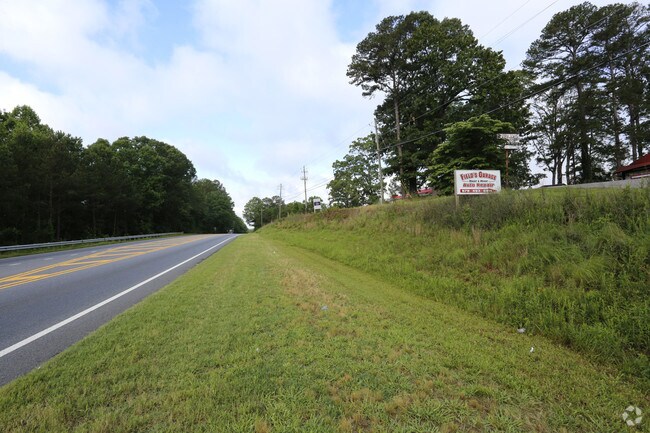
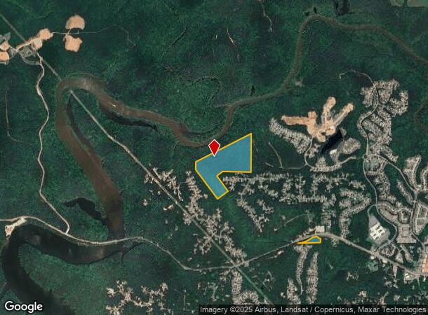
7351 Knox Bridge Hwy, Canton, GA 30114

NEARBY LISTINGS FOR SALE OR LEASE
Property Detail
7351 Knox Bridge Hwy
014N12-00000-016-00A-0000
LL 52, 53 14TH D
Taxexempt
Cherokee
AE
Georgia
13057C0233E
0
2025
54.51 AC
2025
Cherokee County
090605
Atlanta
2,700 SF
Atlanta-Sandy Springs-Roswell, GA
DEMOGRAPHICS near 7351 Knox Bridge Hwy
1 Mile
3 Mile
5 Mile
2024 Total Population
2,950
24,306
68,015
2029 Population
3,340
27,707
77,868
Pop Growth 2024-2029
+ 13.22%
+ 13.99%
+ 14.49%
Average Age
40
39
39
2024 Total Households
971
8,456
24,169
HH Growth 2024-2029
+ 13.39%
+ 14.17%
+ 14.68%
Median Household Inc
$123,799
$122,325
$90,235
Avg Household Size
3.00
2.80
2.70
2024 Avg HH Vehicles
2.00
2.00
2.00
Median Home Value
$398,275
$387,300
$360,541
Median Year Built
2003
2004
2002
Nearby Places
- Restaurants
- Banks
- Shops
- Fitness
- Groceries
SALE & LEASE HISTORY
LISTING DATE
SALE/LEASE

Jun 06, 2017
For Sale
Nearby Properties
Address
Land Use
TOTAL SIZE
Lot Size
Zoning
Address
Land Use
TOTAL SIZE
Lot Size
Zoning
79,162 SF
8.54 AC
RM16
Address
Land Use
TOTAL SIZE
Lot Size
Zoning
103,620 SF
19.78 AC
R-5
Address
Land Use
TOTAL SIZE
Lot Size
Zoning
302,757 SF
62.80 AC
PUD
Address
Land Use
TOTAL SIZE
Lot Size
Zoning
177,744 SF
23.73 AC
PUD
Address
Land Use
TOTAL SIZE
Lot Size
Zoning
138,048 SF
21.40 AC
R-40
Address
Land Use
TOTAL SIZE
Lot Size
Zoning
85,408 SF
37.56 AC
AG
Address
Land Use
TOTAL SIZE
Lot Size
Zoning
56,991 SF
5.82 AC
NC
Address
Land Use
TOTAL SIZE
Lot Size
Zoning
59,690 SF
4.87 AC
GC
Address
Land Use
TOTAL SIZE
Lot Size
Zoning
15,014 SF
210.76 AC
PUD
Address
Land Use
TOTAL SIZE
Lot Size
Zoning
45,650 SF
2.71 AC
GC
Address
Land Use
TOTAL SIZE
Lot Size
Zoning
20,822 SF
27.59 AC
PUD
Address
Land Use
TOTAL SIZE
Lot Size
Zoning
616 SF
25 AC
PUD
Address
Land Use
TOTAL SIZE
Lot Size
Zoning
3,970 SF
37.99 AC
SU
Address
Land Use
TOTAL SIZE
Lot Size
Zoning
25,500 SF
2.92 AC
GC
Address
Land Use
TOTAL SIZE
Lot Size
Zoning
79,638 SF
6.30 AC
GC
Address
Land Use
TOTAL SIZE
Lot Size
Zoning
60,710 SF
8.53 AC
GC
Address
Land Use
TOTAL SIZE
Lot Size
Zoning
288.52 AC
AG
Address
Land Use
TOTAL SIZE
Lot Size
Zoning
45,705 SF
3.69 AC
GC
Address
Land Use
TOTAL SIZE
Lot Size
Zoning
1,649.72 AC
AG
Address
Land Use
TOTAL SIZE
Lot Size
Zoning
35,490 SF
4.54 AC
GC
Address
Land Use
TOTAL SIZE
Lot Size
Zoning
31,950 SF
3.88 AC
LI
Address
Land Use
TOTAL SIZE
Lot Size
Zoning
6,760 SF
1.33 AC
GC
Address
Land Use
TOTAL SIZE
Lot Size
Zoning
12,659 SF
1.34 AC
GC
Address
Land Use
TOTAL SIZE
Lot Size
Zoning
12,422 SF
2.77 AC
GC
Address
Land Use
TOTAL SIZE
Lot Size
Zoning
7,886 SF
2 AC
PUD
Address
Land Use
TOTAL SIZE
Lot Size
Zoning
4,848 SF
1.43 AC
PUD
Address
Land Use
TOTAL SIZE
Lot Size
Zoning
26,664 SF
2.21 AC
R-5
Address
Land Use
TOTAL SIZE
Lot Size
Zoning
1 SF
4.01 AC
GC
Address
Land Use
TOTAL SIZE
Lot Size
Zoning
11,340 SF
1.15 AC
GC
Address
Land Use
TOTAL SIZE
Lot Size
Zoning
16,780 SF
1.47 AC
GC
The World's #1 Commercial Real Estate Marketplace
Connect with us
© 2025 CoStar Group
The information above has been obtained from sources believed reliable. While we do not doubt its accuracy we have not verified it and make no guarantee, warranty or representation about it. It is your responsibility to independently confirm its accuracy and completeness. Any projections, opinions, assumptions, or estimates used are for example only and do not represent the current or future performance of the property. The value of this transaction to you depends on tax and other factors which should be evaluated by your tax, financial, and legal advisors. You and your advisors should conduct a careful, independent investigation of the property to determine to your satisfaction the suitability of the property for your needs.