Property Record
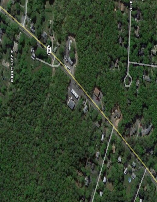
74 Route 130 St, Forestdale, MA 02644

NEARBY LISTINGS FOR SALE OR LEASE
Property Detail
74 Route 130 St
SAND-000011-000267
Barnstable
Commercialacreage
Massachusetts
X
2.75 AC
25001C0517J
Cape Cod
2025
Other Market Areas
2025
Barnstable Town, MA
013600
DEMOGRAPHICS near 74 Route 130 St
1 Mile
3 Mile
5 Mile
2024 Total Population
2,236
9,981
30,549
2029 Population
2,186
9,830
30,478
Pop Growth 2024-2029
(2.24%)
(1.51%)
(0.23%)
Average Age
42
43
46
2024 Total Households
806
3,740
12,232
HH Growth 2024-2029
(2.48%)
(1.82%)
(0.48%)
Median Household Inc
$119,062
$105,961
$95,157
Avg Household Size
2.70
2.60
2.40
2024 Avg HH Vehicles
2.00
2.00
2.00
Median Home Value
$447,810
$439,062
$448,858
Median Year Built
1985
1986
1985
Nearby Places
Map Layers
Map Styles
 Street
 Aerial
- Restaurants
- Banks
- Shops
- Fitness
- Groceries
PUBLIC TRANSPORTATION
AIRPORT
Martha's Vineyard
DRIVE
WALK
Distance
Martha's Vineyard
95 min
32.4 mi
Freight Ports
Port of New Bedford Harbor
DRIVE
WALK
Distance
Port of New Bedford Harbor
56 min
39.4 mi
Nearby Properties
Address
Land Use
TOTAL SIZE
Lot Size
Zoning
Address
Land Use
TOTAL SIZE
Lot Size
Zoning
2,295.68 AC
BUSINE
Address
Land Use
TOTAL SIZE
Lot Size
Zoning
73.40 AC
R-2
Address
Land Use
TOTAL SIZE
Lot Size
Zoning
47.35 AC
R-2
Address
Land Use
TOTAL SIZE
Lot Size
Zoning
12.60 AC
BUSINE
Address
Land Use
TOTAL SIZE
Lot Size
Zoning
7,241 SF
209.72 AC
GD
Address
Land Use
TOTAL SIZE
Lot Size
Zoning
5,466 SF
131.61 AC
R-2
Address
Land Use
TOTAL SIZE
Lot Size
Zoning
33.20 AC
R5
Address
Land Use
TOTAL SIZE
Lot Size
Zoning
14,704 SF
Address
Land Use
TOTAL SIZE
Lot Size
Zoning
8.13 AC
BUSINE
Address
Land Use
TOTAL SIZE
Lot Size
Zoning
7,513 SF
168.71 AC
R-2
Address
Land Use
TOTAL SIZE
Lot Size
Zoning
54,044 SF
8.61 AC
BUSINE
Address
Land Use
TOTAL SIZE
Lot Size
Zoning
10 AC
BUSINE
Address
Land Use
TOTAL SIZE
Lot Size
Zoning
96,760 SF
3.57 AC
R5
Address
Land Use
TOTAL SIZE
Lot Size
Zoning
60,820 SF
9.11 AC
FLEX
Address
Land Use
TOTAL SIZE
Lot Size
Zoning
23,621 SF
R-2
Address
Land Use
TOTAL SIZE
Lot Size
Zoning
4.25 AC
BUSINE
Address
Land Use
TOTAL SIZE
Lot Size
Zoning
136.85 AC
R-2
Address
Land Use
TOTAL SIZE
Lot Size
Zoning
231 SF
50.83 AC
R-2
Address
Land Use
TOTAL SIZE
Lot Size
Zoning
12,912 SF
1.81 AC
BUSINE
Address
Land Use
TOTAL SIZE
Lot Size
Zoning
16,344 SF
Address
Land Use
TOTAL SIZE
Lot Size
Zoning
18,943 SF
4.80 AC
C2
Address
Land Use
TOTAL SIZE
Lot Size
Zoning
2.57 AC
I1
Address
Land Use
TOTAL SIZE
Lot Size
Zoning
5,236 SF
0.94 AC
I1
Address
Land Use
TOTAL SIZE
Lot Size
Zoning
3.32 AC
FLEX
Address
Land Use
TOTAL SIZE
Lot Size
Zoning
32,000 SF
1.64 AC
FLEX
Address
Land Use
TOTAL SIZE
Lot Size
Zoning
29.58 AC
R5
Address
Land Use
TOTAL SIZE
Lot Size
Zoning
30.69 AC
I1
Address
Land Use
TOTAL SIZE
Lot Size
Zoning
2.56 AC
BUSINE
Address
Land Use
TOTAL SIZE
Lot Size
Zoning
13.78 AC
BUSINE
Address
Land Use
TOTAL SIZE
Lot Size
Zoning
4.50 AC
R5
The World's #1 Commercial Real Estate Marketplace
Connect with us
© 2025 CoStar Group
The information above has been obtained from sources believed reliable. While we do not doubt its accuracy we have not verified it and make no guarantee, warranty or representation about it. It is your responsibility to independently confirm its accuracy and completeness. Any projections, opinions, assumptions, or estimates used are for example only and do not represent the current or future performance of the property. The value of this transaction to you depends on tax and other factors which should be evaluated by your tax, financial, and legal advisors. You and your advisors should conduct a careful, independent investigation of the property to determine to your satisfaction the suitability of the property for your needs.