Property Record
7400 Osborne Tpke, Henrico, VA 23231

NEARBY LISTINGS FOR SALE OR LEASE
Property Detail
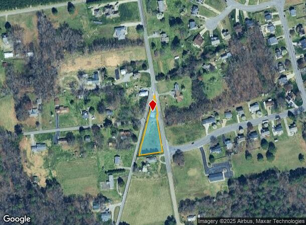
7400 Osborne Tpke
802-693-6895
Richmond Heights
Storebuilding
0213020004 0006E; RICHMOND HEIGHTS LT PT 6 .64 AC 19 B2 1
X
Henrico
5101290085E
Virginia
2025
0.64 AC
2025
East End
201602
Richmond VA
2,792 SF
Richmond, VA
DEMOGRAPHICS near 7400 Osborne Tpke
1 Mile
3 Mile
5 Mile
2024 Total Population
1,901
20,298
105,711
2029 Population
1,907
20,709
110,515
Pop Growth 2024-2029
+ 0.32%
+ 2.02%
+ 4.54%
Average Age
44
39
38
2024 Total Households
793
7,621
43,550
HH Growth 2024-2029
+ 0.38%
+ 1.96%
+ 4.59%
Median Household Inc
$105,555
$59,065
$52,854
Avg Household Size
2.30
2.60
2.40
2024 Avg HH Vehicles
3.00
2.00
2.00
Median Home Value
$291,515
$240,545
$224,763
Median Year Built
2002
1986
1973
Nearby Places
Map Layers
Map Styles
 Street
 Aerial
- Restaurants
- Banks
- Shops
- Fitness
- Groceries
PUBLIC TRANSPORTATION
COMMUTER RAIL
DRIVE
WALK
Distance
11 min
5.5 mi
AIRPORT
Richmond International
DRIVE
WALK
Distance
Richmond International
16 min
8.4 mi
Nearby Properties
Address
Land Use
TOTAL SIZE
Lot Size
Zoning
Address
Land Use
TOTAL SIZE
Lot Size
Zoning
543,477 SF
142.90 AC
MULTIPLE Z
Address
Land Use
TOTAL SIZE
Lot Size
Zoning
1,200,540 SF
75.49 AC
MULTIPLE Z
Address
Land Use
TOTAL SIZE
Lot Size
Zoning
413.51 AC
I3 - HVY I
Address
Land Use
TOTAL SIZE
Lot Size
Zoning
462,732 SF
24.94 AC
M-2 HEAVY
Address
Land Use
TOTAL SIZE
Lot Size
Zoning
448,888 SF
35.33 AC
M-2 HEAVY
Address
Land Use
TOTAL SIZE
Lot Size
Zoning
15,894 SF
35.63 AC
A-1
Address
Land Use
TOTAL SIZE
Lot Size
Zoning
306,439 SF
48.81 AC
M-2 HEAVY
Address
Land Use
TOTAL SIZE
Lot Size
Zoning
407,205 SF
286.12 AC
MIXE
Address
Land Use
TOTAL SIZE
Lot Size
Zoning
190,000 SF
16.65 AC
R-5C
Address
Land Use
TOTAL SIZE
Lot Size
Zoning
4,556 SF
8.76 AC
R-5C
Address
Land Use
TOTAL SIZE
Lot Size
Zoning
23,586 SF
41.23 AC
I2 - GEN I
Address
Land Use
TOTAL SIZE
Lot Size
Zoning
162,289 SF
35 AC
A-1
Address
Land Use
TOTAL SIZE
Lot Size
Zoning
100 SF
15.43 AC
RMF - RES,
Address
Land Use
TOTAL SIZE
Lot Size
Zoning
326,015 SF
51.99 AC
M-2 HEAVY
Address
Land Use
TOTAL SIZE
Lot Size
Zoning
86,564 SF
22.62 AC
M-2 HEAVY
Address
Land Use
TOTAL SIZE
Lot Size
Zoning
115,080 SF
124 AC
M-2 HEAVY
Address
Land Use
TOTAL SIZE
Lot Size
Zoning
202,176 SF
14.66 AC
M-1 LIGHT
Address
Land Use
TOTAL SIZE
Lot Size
Zoning
27,670 SF
21.90 AC
A-1
Address
Land Use
TOTAL SIZE
Lot Size
Zoning
119,392 SF
16.92 AC
Address
Land Use
TOTAL SIZE
Lot Size
Zoning
202,560 SF
13.27 AC
M-1C
Address
Land Use
TOTAL SIZE
Lot Size
Zoning
216,000 SF
17.08 AC
M-1C
Address
Land Use
TOTAL SIZE
Lot Size
Zoning
168,520 SF
9.86 AC
M-1C
Address
Land Use
TOTAL SIZE
Lot Size
Zoning
83,644 SF
29.83 AC
A-1
Address
Land Use
TOTAL SIZE
Lot Size
Zoning
159,200 SF
12.34 AC
M-1C
Address
Land Use
TOTAL SIZE
Lot Size
Zoning
153,219 SF
9.91 AC
M-1C
Address
Land Use
TOTAL SIZE
Lot Size
Zoning
174,000 SF
22.41 AC
I2 - GEN I
Address
Land Use
TOTAL SIZE
Lot Size
Zoning
78,960 SF
4.47 AC
M-2 HEAVY
Address
Land Use
TOTAL SIZE
Lot Size
Zoning
49,272 SF
6.14 AC
R-48 MULTI
Address
Land Use
TOTAL SIZE
Lot Size
Zoning
56.09 AC
M-2 HEAVY
Address
Land Use
TOTAL SIZE
Lot Size
Zoning
31.32 AC
MULTIPLE Z
The World's #1 Commercial Real Estate Marketplace
Connect with us
© 2025 CoStar Group
The information above has been obtained from sources believed reliable. While we do not doubt its accuracy we have not verified it and make no guarantee, warranty or representation about it. It is your responsibility to independently confirm its accuracy and completeness. Any projections, opinions, assumptions, or estimates used are for example only and do not represent the current or future performance of the property. The value of this transaction to you depends on tax and other factors which should be evaluated by your tax, financial, and legal advisors. You and your advisors should conduct a careful, independent investigation of the property to determine to your satisfaction the suitability of the property for your needs.