Property Record
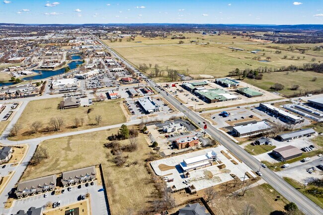
7420 W Sunset Ave, Springdale, AR 72762


NEARBY LISTINGS FOR SALE OR LEASE
Property Detail
7420 W Sunset Ave
Fayetteville-Springdale-Rogers, AR-MO
Westside Village Ph Ii
815-37901-001
LOT 6A PER REPLAT PT LOT 6 WESTSIDE VILLAGE PH II (24A-212) 0.87 AC FURTHER DESCRIBED PER 2018-36786 AS: PART OF LOT 6, WESTS
Restaurantdrivein
Washington
X
Arkansas
05143C0065G
6,a
2025
0.87 AC
2025
Outlying Washington Cnty
010518
Fayetteville/Springdale/Rogers
3,043 SF
DEMOGRAPHICS near 7420 W Sunset Ave
1 Mile
3 Mile
5 Mile
2024 Total Population
4,281
25,542
76,048
2029 Population
4,649
28,236
83,824
Pop Growth 2024-2029
+ 8.60%
+ 10.55%
+ 10.23%
Average Age
38
38
37
2024 Total Households
1,598
9,297
26,733
HH Growth 2024-2029
+ 8.82%
+ 10.97%
+ 10.43%
Median Household Inc
$89,498
$76,031
$72,114
Avg Household Size
2.60
2.70
2.70
2024 Avg HH Vehicles
2.00
2.00
2.00
Median Home Value
$342,105
$277,843
$245,786
Median Year Built
2007
2001
1995
Nearby Places
Map Layers
Map Styles
 Street
 Aerial
- Restaurants
- Banks
- Shops
- Fitness
- Groceries
PUBLIC TRANSPORTATION
AIRPORT
Northwest Arkansas Ntl
DRIVE
WALK
Distance
Northwest Arkansas Ntl
26 min
10.8 mi
Freight Ports
Tulsa Port of Inola
DRIVE
WALK
Distance
Tulsa Port of Inola
94 min
82.2 mi
SALE & LEASE HISTORY
LISTING DATE
SALE/LEASE

Sep 05, 2023
For Lease
May 19, 2021
For Sale
Jun 19, 2025
For Sale
Aug 20, 2019
For Sale
Nearby Properties
Address
Land Use
TOTAL SIZE
Lot Size
Zoning
Address
Land Use
TOTAL SIZE
Lot Size
Zoning
132,060 SF
8 AC
Address
Land Use
TOTAL SIZE
Lot Size
Zoning
54,448 SF
19.43 AC
Address
Land Use
TOTAL SIZE
Lot Size
Zoning
75,774 SF
16.49 AC
Address
Land Use
TOTAL SIZE
Lot Size
Zoning
181,734 SF
21.02 AC
Address
Land Use
TOTAL SIZE
Lot Size
Zoning
15,347 SF
6.27 AC
Address
Land Use
TOTAL SIZE
Lot Size
Zoning
437,349 SF
40.29 AC
Address
Land Use
TOTAL SIZE
Lot Size
Zoning
106,141 SF
2.82 AC
Address
Land Use
TOTAL SIZE
Lot Size
Zoning
81,000 SF
7.01 AC
Address
Land Use
TOTAL SIZE
Lot Size
Zoning
78,374 SF
8.79 AC
Address
Land Use
TOTAL SIZE
Lot Size
Zoning
112,817 SF
9.57 AC
Address
Land Use
TOTAL SIZE
Lot Size
Zoning
196,657 SF
18.82 AC
Address
Land Use
TOTAL SIZE
Lot Size
Zoning
176,204 SF
7.57 AC
Address
Land Use
TOTAL SIZE
Lot Size
Zoning
193,140 SF
21.31 AC
Address
Land Use
TOTAL SIZE
Lot Size
Zoning
89,280 SF
12.22 AC
Address
Land Use
TOTAL SIZE
Lot Size
Zoning
32,124 SF
6.58 AC
Address
Land Use
TOTAL SIZE
Lot Size
Zoning
140,755 SF
14.15 AC
Address
Land Use
TOTAL SIZE
Lot Size
Zoning
229,158 SF
21.23 AC
C2
Address
Land Use
TOTAL SIZE
Lot Size
Zoning
167,040 SF
19.98 AC
Address
Land Use
TOTAL SIZE
Lot Size
Zoning
21,208 SF
1.89 AC
C2
Address
Land Use
TOTAL SIZE
Lot Size
Zoning
85,874 SF
2.76 AC
Address
Land Use
TOTAL SIZE
Lot Size
Zoning
16,760 SF
2.96 AC
Address
Land Use
TOTAL SIZE
Lot Size
Zoning
31,150 SF
3.74 AC
C1
Address
Land Use
TOTAL SIZE
Lot Size
Zoning
100,690 SF
3.79 AC
C2
Address
Land Use
TOTAL SIZE
Lot Size
Zoning
51,336 SF
4.19 AC
Address
Land Use
TOTAL SIZE
Lot Size
Zoning
72,866 SF
7.14 AC
Address
Land Use
TOTAL SIZE
Lot Size
Zoning
Address
Land Use
TOTAL SIZE
Lot Size
Zoning
39,336 SF
5.03 AC
Address
Land Use
TOTAL SIZE
Lot Size
Zoning
47,780 SF
5.15 AC
PUD
Address
Land Use
TOTAL SIZE
Lot Size
Zoning
30,076 SF
4.69 AC
Address
Land Use
TOTAL SIZE
Lot Size
Zoning
108,702 SF
5.36 AC
The World's #1 Commercial Real Estate Marketplace
Connect with us
© 2025 CoStar Group
The information above has been obtained from sources believed reliable. While we do not doubt its accuracy we have not verified it and make no guarantee, warranty or representation about it. It is your responsibility to independently confirm its accuracy and completeness. Any projections, opinions, assumptions, or estimates used are for example only and do not represent the current or future performance of the property. The value of this transaction to you depends on tax and other factors which should be evaluated by your tax, financial, and legal advisors. You and your advisors should conduct a careful, independent investigation of the property to determine to your satisfaction the suitability of the property for your needs.