Property Record
7434 Louis Pasteur Dr, San Antonio, TX 78229


Save to a Folder
{{folder.Name}}
{{folder.ListingIds.length}} Properties
{{folder.ListingIds.length}} Property
Create a New Folder
Current Lease Availabilities
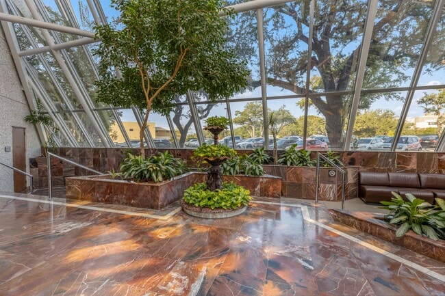
Property Detail
7434 Louis Pasteur Dr
San Antonio-New Braunfels, TX
NCB 12811 BLK 1 LOT 32, 33, NE 203.75 FT OF 34 & SW 46 FT OF 44
12811-001-0321
BEXAR
Medicalbuilding
Texas
B and X Area of moderate flood hazard, usually the area between the limits of the 100-year and 500-year floods.
321
2025
1.72 AC
2025
Northwest
180701
San Antonio
45,228 SF
NEARBY LISTINGS FOR SALE OR LEASE
DEMOGRAPHICS near 7434 Louis Pasteur Dr
1 mile
3 mile
5 mile
2025 Total Population
16,146
147,992
377,118
2030 Population
16,981
155,344
394,968
Pop Growth 2025-2030
+ 5.17%
+ 4.97%
+ 4.73%
Average Age
36
37
38
2025 Total Households
8,228
65,570
154,600
HH Growth 2025-2030
+ 5.38%
+ 5.24%
+ 5.00%
Median Household Inc
$44,798
$53,223
$56,883
Avg Household Size
1.90
2.20
2.40
2025 Avg HH Vehicles
1.00
1.00
2.00
Median Home Value
$290,822
$243,883
$251,449
Median Year Built
1983
1980
1980
Nearby Places
Map Layers
Map Styles
 Street
 Aerial
Layers
 Traffic
 Biking
Places
Listings with unknown addresses are not visible on the map
- Restaurants
- Banks
- Shops
- Fitness
- Groceries
PUBLIC TRANSPORTATION
AIRPORT
San Antonio International
Drive
Walk
Distance
San Antonio International
12 min
8.2 mi
Freight Ports
Calhoun Port
Drive
Walk
Distance
Calhoun Port
195 min
158.1 mi
Nearby Properties
Address
Land Use
TOTAL SIZE
Lot Size
Zoning
Address
Land Use
TOTAL SIZE
Lot Size
Zoning
1,414,945 SF
16.77 AC
Address
Land Use
TOTAL SIZE
Lot Size
Zoning
4,465,972 SF
231.60 AC
Address
Land Use
TOTAL SIZE
Lot Size
Zoning
609,267 SF
30.47 AC
Address
Land Use
TOTAL SIZE
Lot Size
Zoning
227,586 SF
25.46 AC
Address
Land Use
TOTAL SIZE
Lot Size
Zoning
429,561 SF
25.70 AC
Address
Land Use
TOTAL SIZE
Lot Size
Zoning
97.47 AC
Address
Land Use
TOTAL SIZE
Lot Size
Zoning
352,231 SF
19.54 AC
Address
Land Use
TOTAL SIZE
Lot Size
Zoning
724,148 SF
18.70 AC
Address
Land Use
TOTAL SIZE
Lot Size
Zoning
278,352 SF
10 AC
Address
Land Use
TOTAL SIZE
Lot Size
Zoning
306,959 SF
15.24 AC
Address
Land Use
TOTAL SIZE
Lot Size
Zoning
482,412 SF
22.97 AC
Address
Land Use
TOTAL SIZE
Lot Size
Zoning
301,817 SF
12.22 AC
Address
Land Use
TOTAL SIZE
Lot Size
Zoning
227,744 SF
3.99 AC
Address
Land Use
TOTAL SIZE
Lot Size
Zoning
239,623 SF
26.63 AC
Address
Land Use
TOTAL SIZE
Lot Size
Zoning
283,165 SF
12.19 AC
Address
Land Use
TOTAL SIZE
Lot Size
Zoning
201,339 SF
9.32 AC
Address
Land Use
TOTAL SIZE
Lot Size
Zoning
288,719 SF
14.66 AC
Address
Land Use
TOTAL SIZE
Lot Size
Zoning
495,484 SF
5.81 AC
Address
Land Use
TOTAL SIZE
Lot Size
Zoning
61.64 AC
Address
Land Use
TOTAL SIZE
Lot Size
Zoning
250,174 SF
14.26 AC
Address
Land Use
TOTAL SIZE
Lot Size
Zoning
264,676 SF
11.91 AC
Address
Land Use
TOTAL SIZE
Lot Size
Zoning
305,379 SF
12.04 AC
Address
Land Use
TOTAL SIZE
Lot Size
Zoning
259,934 SF
9.81 AC
Address
Land Use
TOTAL SIZE
Lot Size
Zoning
229,635 SF
8.21 AC
Address
Land Use
TOTAL SIZE
Lot Size
Zoning
285,150 SF
13.62 AC
Address
Land Use
TOTAL SIZE
Lot Size
Zoning
211,045 SF
8.08 AC
Address
Land Use
TOTAL SIZE
Lot Size
Zoning
308,010 SF
9.93 AC
Address
Land Use
TOTAL SIZE
Lot Size
Zoning
340,653 SF
19.27 AC
Address
Land Use
TOTAL SIZE
Lot Size
Zoning
8,508 SF
3.34 AC
Address
Land Use
TOTAL SIZE
Lot Size
Zoning
243,251 SF
10 AC
The World's #1 Commercial Real Estate Marketplace
Connect with us
© 2026 CoStar Group
The information above has been obtained from sources believed reliable. While we do not doubt its accuracy we have not verified it and make no guarantee, warranty or representation about it. It is your responsibility to independently confirm its accuracy and completeness. Any projections, opinions, assumptions, or estimates used are for example only and do not represent the current or future performance of the property. The value of this transaction to you depends on tax and other factors which should be evaluated by your tax, financial, and legal advisors. You and your advisors should conduct a careful, independent investigation of the property to determine to your satisfaction the suitability of the property for your needs.