Property Record
744 Royal Ave, Memphis, TN 38107


Current Lease Availabilities
NEARBY LISTINGS FOR SALE OR LEASE
Property Detail
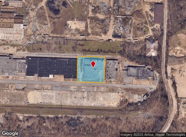
744 Royal Ave
Memphis, TN-MS-AR
Royal Avenue
03-9038-0-0024C
NS ROYAL AVE SEE MAP B-9 (TILE# 327)
Warehouse
Shelby
X
Tennessee
05035C0375E
25&26
2024
1.73 AC
2025
Northwest
000300
Memphis
41,800 SF
DEMOGRAPHICS near 744 Royal Ave
1 Mile
3 Mile
5 Mile
2024 Total Population
2,533
61,708
148,005
2029 Population
2,622
62,340
149,069
Pop Growth 2024-2029
+ 3.51%
+ 1.02%
+ 0.72%
Average Age
39
38
38
2024 Total Households
1,075
27,201
65,187
HH Growth 2024-2029
+ 3.26%
+ 0.79%
+ 0.56%
Median Household Inc
$34,191
$40,379
$40,853
Avg Household Size
2.30
2.10
2.20
2024 Avg HH Vehicles
1.00
1.00
1.00
Median Home Value
$78,780
$142,907
$157,093
Median Year Built
1978
1964
1962
Nearby Places
Map Layers
Map Styles
 Street
 Aerial
- Restaurants
- Banks
- Shops
- Fitness
- Groceries
PUBLIC TRANSPORTATION
AIRPORT
Memphis International
DRIVE
WALK
Distance
Memphis International
21 min
16.0 mi
Freight Ports
Port of Shreveport
DRIVE
WALK
Distance
Port of Shreveport
1 min
284.1 mi
Nearby Properties
Address
Land Use
TOTAL SIZE
Lot Size
Zoning
Address
Land Use
TOTAL SIZE
Lot Size
Zoning
409,950 SF
5.16 AC
CMP-1
Address
Land Use
TOTAL SIZE
Lot Size
Zoning
660,788 SF
8.28 AC
CMP-1
Address
Land Use
TOTAL SIZE
Lot Size
Zoning
61,983 SF
3.95 AC
U
Address
Land Use
TOTAL SIZE
Lot Size
Zoning
413,375 SF
33.87 AC
U
Address
Land Use
TOTAL SIZE
Lot Size
Zoning
300,225 SF
9.61 AC
U
Address
Land Use
TOTAL SIZE
Lot Size
Zoning
138,093 SF
7.05 AC
EMP
Address
Land Use
TOTAL SIZE
Lot Size
Zoning
516,768 SF
6.11 AC
CMP-1
Address
Land Use
TOTAL SIZE
Lot Size
Zoning
81,088 SF
23.12 AC
RU-3
Address
Land Use
TOTAL SIZE
Lot Size
Zoning
79,200 SF
1.91 AC
CMP-1
Address
Land Use
TOTAL SIZE
Lot Size
Zoning
99,590 SF
1.73 AC
SE
Address
Land Use
TOTAL SIZE
Lot Size
Zoning
105,244 SF
0.59 AC
CBD
Address
Land Use
TOTAL SIZE
Lot Size
Zoning
56,716 SF
0.49 AC
SE
Address
Land Use
TOTAL SIZE
Lot Size
Zoning
2.20 AC
U
Address
Land Use
TOTAL SIZE
Lot Size
Zoning
109,000 SF
1.18 AC
SE
Address
Land Use
TOTAL SIZE
Lot Size
Zoning
47,430 SF
1.01 AC
CBD
Address
Land Use
TOTAL SIZE
Lot Size
Zoning
43,779 SF
2.11 AC
RU-3
Address
Land Use
TOTAL SIZE
Lot Size
Zoning
67,221 SF
0.51 AC
CBD
Address
Land Use
TOTAL SIZE
Lot Size
Zoning
110,072 SF
1.38 AC
SE
Address
Land Use
TOTAL SIZE
Lot Size
Zoning
66,004 SF
0.51 AC
SE
Address
Land Use
TOTAL SIZE
Lot Size
Zoning
196,468 SF
1.60 AC
CBD
Address
Land Use
TOTAL SIZE
Lot Size
Zoning
26,580 SF
3.13 AC
RU-4
Address
Land Use
TOTAL SIZE
Lot Size
Zoning
1,913,224 SF
78.98 AC
IH
Address
Land Use
TOTAL SIZE
Lot Size
Zoning
38,409 SF
0.43 AC
SE
Address
Land Use
TOTAL SIZE
Lot Size
Zoning
66,370 SF
2.13 AC
HDR
Address
Land Use
TOTAL SIZE
Lot Size
Zoning
18,014 SF
1.28 AC
HDR
Address
Land Use
TOTAL SIZE
Lot Size
Zoning
144,454 SF
1.87 AC
MU
Address
Land Use
TOTAL SIZE
Lot Size
Zoning
17,438 SF
25.84 AC
RU-3
Address
Land Use
TOTAL SIZE
Lot Size
Zoning
96,963 SF
2.13 AC
MU
Address
Land Use
TOTAL SIZE
Lot Size
Zoning
22,852 SF
0.93 AC
RU-4
Address
Land Use
TOTAL SIZE
Lot Size
Zoning
94,928 SF
0.69 AC
SE
The World's #1 Commercial Real Estate Marketplace
Connect with us
© 2025 CoStar Group
The information above has been obtained from sources believed reliable. While we do not doubt its accuracy we have not verified it and make no guarantee, warranty or representation about it. It is your responsibility to independently confirm its accuracy and completeness. Any projections, opinions, assumptions, or estimates used are for example only and do not represent the current or future performance of the property. The value of this transaction to you depends on tax and other factors which should be evaluated by your tax, financial, and legal advisors. You and your advisors should conduct a careful, independent investigation of the property to determine to your satisfaction the suitability of the property for your needs.