Property Record
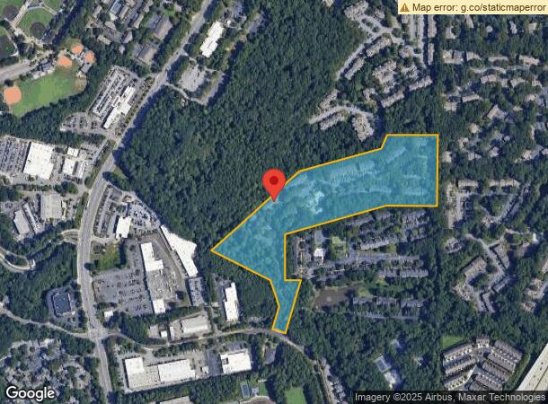
7445 Trowbridge Rd, Atlanta, GA 30328


NEARBY LISTINGS FOR SALE OR LEASE
Property Detail
7445 Trowbridge Rd
17-0031-LL-044-6
Alta/Acsm Land Title
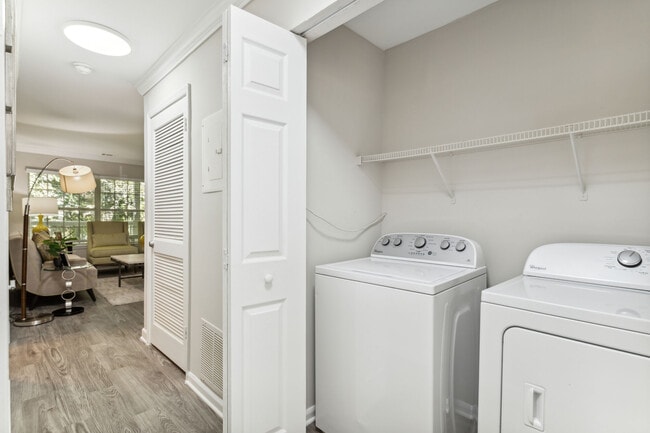
Apartment
LL31&32
X
Fulton
13089C0005K
Georgia
2024
19.36 AC
2025
Sandy Springs
010117
Atlanta
152,152 SF
Atlanta-Sandy Springs-Roswell, GA
DEMOGRAPHICS near 7445 Trowbridge Rd
1 Mile
3 Mile
5 Mile
2024 Total Population
16,598
89,069
220,969
2029 Population
16,586
90,023
223,560
Pop Growth 2024-2029
(0.07%)
+ 1.07%
+ 1.17%
Average Age
36
39
40
2024 Total Households
8,065
39,365
93,456
HH Growth 2024-2029
(0.29%)
+ 0.93%
+ 1.09%
Median Household Inc
$90,752
$109,605
$119,326
Avg Household Size
2.00
2.20
2.30
2024 Avg HH Vehicles
1.00
2.00
2.00
Median Home Value
$579,349
$666,006
$670,391
Median Year Built
1986
1986
1985
Nearby Places
Map Layers
Map Styles
 Street
 Aerial
- Restaurants
- Banks
- Shops
- Fitness
- Groceries
PUBLIC TRANSPORTATION
AIRPORT
Hartsfield - Jackson Atlanta International
DRIVE
WALK
Distance
Hartsfield - Jackson Atlanta International
40 min
27.0 mi
Freight Ports
Georgia Ports - Savannah
DRIVE
WALK
Distance
Georgia Ports - Savannah
303 min
266.3 mi
Nearby Properties
Address
Land Use
TOTAL SIZE
Lot Size
Zoning
Address
Land Use
TOTAL SIZE
Lot Size
Zoning
1,123,714 SF
47.33 AC
C1
Address
Land Use
TOTAL SIZE
Lot Size
Zoning
409,493 SF
10.01 AC
OI
Address
Land Use
TOTAL SIZE
Lot Size
Zoning
543,090 SF
5.51 AC
R2
Address
Land Use
TOTAL SIZE
Lot Size
Zoning
485,132 SF
37.90 AC
OI
Address
Land Use
TOTAL SIZE
Lot Size
Zoning
542,845 SF
10.58 AC
X
Address
Land Use
TOTAL SIZE
Lot Size
Zoning
937,800 SF
2.65 AC
Address
Land Use
TOTAL SIZE
Lot Size
Zoning
295,885 SF
3.50 AC
X
Address
Land Use
TOTAL SIZE
Lot Size
Zoning
258,909 SF
19.01 AC
X
Address
Land Use
TOTAL SIZE
Lot Size
Zoning
12,342,500 SF
125.51 AC
AC
Address
Land Use
TOTAL SIZE
Lot Size
Zoning
1,088,359 SF
7.07 AC
OIC
Address
Land Use
TOTAL SIZE
Lot Size
Zoning
4,555,620 SF
12.41 AC
OI
Address
Land Use
TOTAL SIZE
Lot Size
Zoning
106,770 SF
3.13 AC
X
Address
Land Use
TOTAL SIZE
Lot Size
Zoning
347,179 SF
18.24 AC
X
Address
Land Use
TOTAL SIZE
Lot Size
Zoning
316,391 SF
11.73 AC
OCR
Address
Land Use
TOTAL SIZE
Lot Size
Zoning
828,002 SF
12.04 AC
R2
Address
Land Use
TOTAL SIZE
Lot Size
Zoning
732,923 SF
2.77 AC
OIC
Address
Land Use
TOTAL SIZE
Lot Size
Zoning
275,745 SF
12.52 AC
OCR
Address
Land Use
TOTAL SIZE
Lot Size
Zoning
1,119,177 SF
5.21 AC
OIC
Address
Land Use
TOTAL SIZE
Lot Size
Zoning
227,764 SF
5.49 AC
OI
Address
Land Use
TOTAL SIZE
Lot Size
Zoning
292,537 SF
10.50 AC
ACOND
Address
Land Use
TOTAL SIZE
Lot Size
Zoning
862,962 SF
4.72 AC
Address
Land Use
TOTAL SIZE
Lot Size
Zoning
7,258,269 SF
38.75 AC
AC
Address
Land Use
TOTAL SIZE
Lot Size
Zoning
225,680 SF
17.40 AC
X
Address
Land Use
TOTAL SIZE
Lot Size
Zoning
732,896 SF
3.96 AC
OIC
Address
Land Use
TOTAL SIZE
Lot Size
Zoning
2,861,400 SF
5.77 AC
OIC
Address
Land Use
TOTAL SIZE
Lot Size
Zoning
226,026 SF
3.98 AC
OI
Address
Land Use
TOTAL SIZE
Lot Size
Zoning
620,201 SF
3.54 AC
C1
Address
Land Use
TOTAL SIZE
Lot Size
Zoning
1,909,285 SF
22.39 AC
OI
Address
Land Use
TOTAL SIZE
Lot Size
Zoning
274,733 SF
4.50 AC
OIC
Address
Land Use
TOTAL SIZE
Lot Size
Zoning
142,615 SF
15.42 AC
X
The World's #1 Commercial Real Estate Marketplace
Connect with us
© 2026 CoStar Group
The information above has been obtained from sources believed reliable. While we do not doubt its accuracy we have not verified it and make no guarantee, warranty or representation about it. It is your responsibility to independently confirm its accuracy and completeness. Any projections, opinions, assumptions, or estimates used are for example only and do not represent the current or future performance of the property. The value of this transaction to you depends on tax and other factors which should be evaluated by your tax, financial, and legal advisors. You and your advisors should conduct a careful, independent investigation of the property to determine to your satisfaction the suitability of the property for your needs.