Property Record
7450 E Stella Rd, Tucson, AZ 85730

Property Detail
7450 E Stella Rd
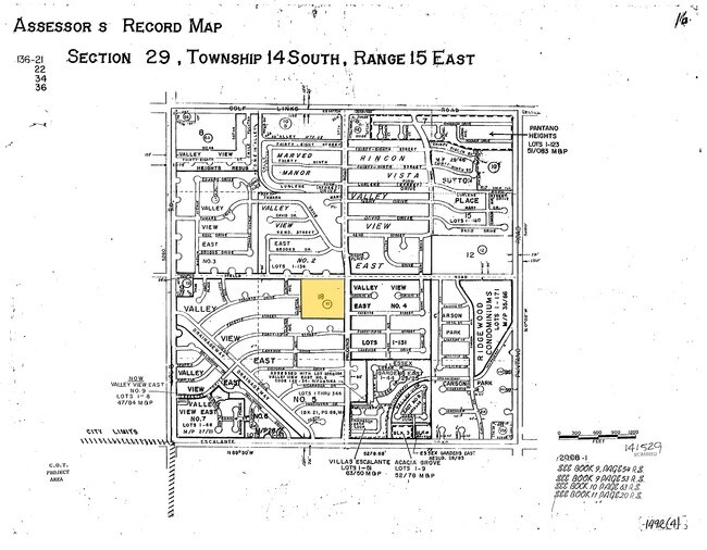
136-21-0180
NE4 OF NE4 SW4 EXC N30 FOR ROAD H 9.5 AC P 18-29-14-15
Privateschool
Pima
RX1
Arizona
B and X Area of moderate flood hazard, usually the area between the limits of the 100-year and 500-year floods.
51
0
9.50 AC
2026
Southeast Tucson
004038
Tucson
51,112 SF
Tucson, AZ
NEARBY LISTINGS FOR SALE OR LEASE
-
-
View all Tucson listings for sale on LoopNet.com
DEMOGRAPHICS near 7450 E Stella Rd
1 mile
3 mile
5 mile
2025 Total Population
16,822
90,836
205,328
2030 Population
17,097
92,869
210,176
Pop Growth 2025-2030
+ 1.63%
+ 2.24%
+ 2.36%
Average Age
39
40
41
2025 Total Households
6,567
37,766
88,107
HH Growth 2025-2030
+ 1.72%
+ 2.30%
+ 2.40%
Median Household Inc
$60,156
$57,580
$62,351
Avg Household Size
2.50
2.30
2.20
2025 Avg HH Vehicles
2.00
2.00
2.00
Median Home Value
$256,565
$261,051
$300,126
Median Year Built
1975
1975
1977
Nearby Places
Map Layers
Map Styles
 Street
 Aerial
Layers
 Traffic
 Biking
Places
Listings with unknown addresses are not visible on the map
- Restaurants
- Banks
- Shops
- Fitness
- Groceries
PUBLIC TRANSPORTATION
COMMUTER RAIL
Drive
Walk
Distance
16 min
9.3 mi
AIRPORT
Tucson International
Drive
Walk
Distance
Tucson International
20 min
10.6 mi
Nearby Properties
Address
Land Use
TOTAL SIZE
Lot Size
Zoning
Address
Land Use
TOTAL SIZE
Lot Size
Zoning
2,315,205 SF
628.02 AC
I1
Address
Land Use
TOTAL SIZE
Lot Size
Zoning
53,431 SF
9.98 AC
Address
Land Use
TOTAL SIZE
Lot Size
Zoning
2,041,946 SF
640 AC
I1
Address
Land Use
TOTAL SIZE
Lot Size
Zoning
327,646 SF
24.84 AC
CI2
Address
Land Use
TOTAL SIZE
Lot Size
Zoning
41,486 SF
0.93 AC
C2
Address
Land Use
TOTAL SIZE
Lot Size
Zoning
157,473 SF
56.40 AC
SR
Address
Land Use
TOTAL SIZE
Lot Size
Zoning
504,584 SF
18.17 AC
O3
Address
Land Use
TOTAL SIZE
Lot Size
Zoning
26,554 SF
5.08 AC
I1
Address
Land Use
TOTAL SIZE
Lot Size
Zoning
209,980 SF
6.16 AC
C2
Address
Land Use
TOTAL SIZE
Lot Size
Zoning
318,290 SF
32 AC
R1
Address
Land Use
TOTAL SIZE
Lot Size
Zoning
273,640 SF
21.20 AC
O3
Address
Land Use
TOTAL SIZE
Lot Size
Zoning
188,350 SF
10.81 AC
Address
Land Use
TOTAL SIZE
Lot Size
Zoning
118,655 SF
8.74 AC
C1
Address
Land Use
TOTAL SIZE
Lot Size
Zoning
268,026 SF
16 AC
R3
Address
Land Use
TOTAL SIZE
Lot Size
Zoning
259,360 SF
45 AC
R1
Address
Land Use
TOTAL SIZE
Lot Size
Zoning
171,301 SF
6.36 AC
C3
Address
Land Use
TOTAL SIZE
Lot Size
Zoning
83,067 SF
37.84 AC
RX1
Address
Land Use
TOTAL SIZE
Lot Size
Zoning
15,893 SF
2.86 AC
I1
Address
Land Use
TOTAL SIZE
Lot Size
Zoning
165,096 SF
13.04 AC
C2
Address
Land Use
TOTAL SIZE
Lot Size
Zoning
341,270 SF
19.70 AC
C2
Address
Land Use
TOTAL SIZE
Lot Size
Zoning
6,120 SF
5.50 AC
C2
Address
Land Use
TOTAL SIZE
Lot Size
Zoning
13,356 SF
0.70 AC
C2
Address
Land Use
TOTAL SIZE
Lot Size
Zoning
115,098 SF
14.68 AC
C1
Address
Land Use
TOTAL SIZE
Lot Size
Zoning
56,535 SF
420.93 AC
Address
Land Use
TOTAL SIZE
Lot Size
Zoning
16,550 SF
4.34 AC
C1
Address
Land Use
TOTAL SIZE
Lot Size
Zoning
289,691 SF
15.63 AC
R3
Address
Land Use
TOTAL SIZE
Lot Size
Zoning
142,448 SF
11.54 AC
C2
Address
Land Use
TOTAL SIZE
Lot Size
Zoning
389,728 SF
6.50 AC
R3
Address
Land Use
TOTAL SIZE
Lot Size
Zoning
176,387 SF
8.11 AC
C2
The World's #1 Commercial Real Estate Marketplace
Connect with us
© 2026 CoStar Group
The information above has been obtained from sources believed reliable. While we do not doubt its accuracy we have not verified it and make no guarantee, warranty or representation about it. It is your responsibility to independently confirm its accuracy and completeness. Any projections, opinions, assumptions, or estimates used are for example only and do not represent the current or future performance of the property. The value of this transaction to you depends on tax and other factors which should be evaluated by your tax, financial, and legal advisors. You and your advisors should conduct a careful, independent investigation of the property to determine to your satisfaction the suitability of the property for your needs.