Property Record
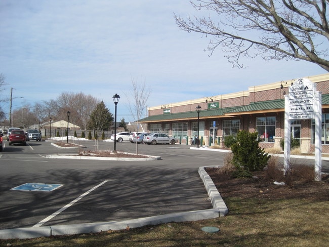
75 Main St, Old Saybrook, CT 06475


Property Detail
75 Main St
Commercialnec
Lower Ct River Vly
B-1
Connecticut
B and X Area of moderate flood hazard, usually the area between the limits of the 100-year and 500-year floods.
1.62 AC
2025
SW Midlsx/Old Saybrk/Rt 9
2025
Hartford
670200
Hartford-West Hartford-East Hartford, CT
14,093 SF
OSAY-000037-000036
NEARBY LISTINGS FOR SALE OR LEASE
DEMOGRAPHICS near 75 Main St
1 mile
3 mile
5 mile
2024 Total Population
3,068
14,714
27,411
2029 Population
3,151
15,338
28,440
Pop Growth 2024-2029
+ 2.71%
+ 4.24%
+ 3.75%
Average Age
50
50
50
2024 Total Households
1,407
6,599
12,219
HH Growth 2024-2029
+ 2.77%
+ 4.47%
+ 3.97%
Median Household Inc
$84,027
$117,263
$110,555
Avg Household Size
2.10
2.20
2.20
2024 Avg HH Vehicles
2.00
2.00
2.00
Median Home Value
$469,862
$575,930
$582,458
Median Year Built
1971
1971
1970
Nearby Places
Map Layers
Map Styles
 Street
 Aerial
Transit
 Traffic
 Biking
Places
Listings with unknown addresses are not visible on the map
- Restaurants
- Banks
- Shops
- Fitness
- Groceries
SALE & LEASE HISTORY
LISTING DATE
SALE/LEASE

Sep 24, 2016
For Lease
Oct 17, 2019
For Lease
May 01, 2023
For Sale
Jul 08, 2020
For Lease
Feb 15, 2017
For Lease
The World's #1 Commercial Real Estate Marketplace
Connect with us
© 2026 CoStar Group
The information above has been obtained from sources believed reliable. While we do not doubt its accuracy we have not verified it and make no guarantee, warranty or representation about it. It is your responsibility to independently confirm its accuracy and completeness. Any projections, opinions, assumptions, or estimates used are for example only and do not represent the current or future performance of the property. The value of this transaction to you depends on tax and other factors which should be evaluated by your tax, financial, and legal advisors. You and your advisors should conduct a careful, independent investigation of the property to determine to your satisfaction the suitability of the property for your needs.