Property Record
750 E Main St, Smithville, OH 44677


Property Detail
750 E Main St
Wooster, OH
MPT OL 57 & PT OL 56 .82A MP 3 CD 416
33-00389-000
WAYNE
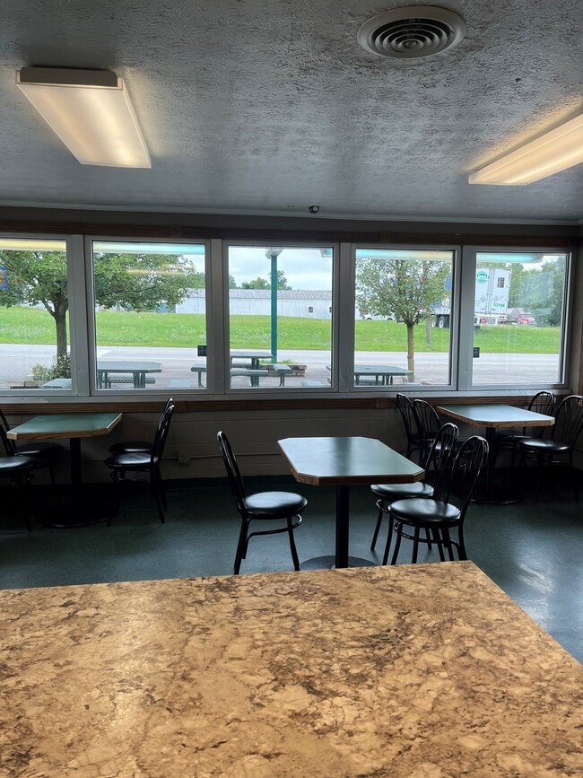
Restaurantdrivein
Ohio
B and X Area of moderate flood hazard, usually the area between the limits of the 100-year and 500-year floods.
57
2025
0.82 AC
2025
Ohio North Area
000900
Other Market Areas
1,000 SF
NEARBY LISTINGS FOR SALE OR LEASE
DEMOGRAPHICS near 750 E Main St
1 mile
3 mile
5 mile
2025 Total Population
1,287
3,981
23,047
2030 Population
1,273
3,945
23,088
Pop Growth 2025-2030
(1.09%)
(0.90%)
+ 0.18%
Average Age
41
42
42
2025 Total Households
500
1,537
9,448
HH Growth 2025-2030
(1.20%)
(0.98%)
+ 0.11%
Median Household Inc
$69,919
$68,815
$67,745
Avg Household Size
2.50
2.50
2.40
2025 Avg HH Vehicles
2.00
2.00
2.00
Median Home Value
$206,771
$221,745
$218,456
Median Year Built
1966
1970
1978
Nearby Places
Map Layers
Map Styles
 Street
 Aerial
Layers
 Traffic
 Biking
Places
Listings with unknown addresses are not visible on the map
- Restaurants
- Banks
- Shops
- Fitness
- Groceries
PUBLIC TRANSPORTATION
AIRPORT
Akron-Canton Regional
Drive
Walk
Distance
Akron-Canton Regional
47 min
35.0 mi
Freight Ports
Port of Toledo
Drive
Walk
Distance
Port of Toledo
174 min
124.7 mi
SALE & LEASE HISTORY
LISTING DATE
SALE/LEASE

Aug 20, 2024
For Sale
Nearby Properties
Address
Land Use
TOTAL SIZE
Lot Size
Zoning
Address
Land Use
TOTAL SIZE
Lot Size
Zoning
21,874 SF
58.68 AC
Address
Land Use
TOTAL SIZE
Lot Size
Zoning
37,699 SF
35.57 AC
Address
Land Use
TOTAL SIZE
Lot Size
Zoning
21,026 SF
11.77 AC
Address
Land Use
TOTAL SIZE
Lot Size
Zoning
16,432 SF
85 AC
Address
Land Use
TOTAL SIZE
Lot Size
Zoning
182.19 AC
Address
Land Use
TOTAL SIZE
Lot Size
Zoning
2,744 SF
161.28 AC
Address
Land Use
TOTAL SIZE
Lot Size
Zoning
23,052 SF
5.03 AC
Address
Land Use
TOTAL SIZE
Lot Size
Zoning
20,824 SF
6 AC
Address
Land Use
TOTAL SIZE
Lot Size
Zoning
12,202 SF
7.66 AC
Address
Land Use
TOTAL SIZE
Lot Size
Zoning
23,382 SF
0.19 AC
Address
Land Use
TOTAL SIZE
Lot Size
Zoning
137.46 AC
Address
Land Use
TOTAL SIZE
Lot Size
Zoning
49.96 AC
Address
Land Use
TOTAL SIZE
Lot Size
Zoning
2,859 SF
144.89 AC
Address
Land Use
TOTAL SIZE
Lot Size
Zoning
19,104 SF
5.73 AC
Address
Land Use
TOTAL SIZE
Lot Size
Zoning
155.76 AC
R1
Address
Land Use
TOTAL SIZE
Lot Size
Zoning
26,376 SF
0.18 AC
Address
Land Use
TOTAL SIZE
Lot Size
Zoning
14,160 SF
14.15 AC
Address
Land Use
TOTAL SIZE
Lot Size
Zoning
24,228 SF
14.48 AC
Address
Land Use
TOTAL SIZE
Lot Size
Zoning
166.01 AC
Address
Land Use
TOTAL SIZE
Lot Size
Zoning
124.81 AC
Address
Land Use
TOTAL SIZE
Lot Size
Zoning
109.94 AC
Address
Land Use
TOTAL SIZE
Lot Size
Zoning
40,500 SF
11.35 AC
Address
Land Use
TOTAL SIZE
Lot Size
Zoning
1,468 SF
103.40 AC
Address
Land Use
TOTAL SIZE
Lot Size
Zoning
1,668 SF
101.58 AC
Address
Land Use
TOTAL SIZE
Lot Size
Zoning
78.87 AC
Address
Land Use
TOTAL SIZE
Lot Size
Zoning
101.05 AC
Address
Land Use
TOTAL SIZE
Lot Size
Zoning
2,695 SF
76.91 AC
Address
Land Use
TOTAL SIZE
Lot Size
Zoning
103.18 AC
Address
Land Use
TOTAL SIZE
Lot Size
Zoning
3,440 SF
99.04 AC
Address
Land Use
TOTAL SIZE
Lot Size
Zoning
42,898 SF
5.86 AC
The World's #1 Commercial Real Estate Marketplace
Connect with us
© 2026 CoStar Group
The information above has been obtained from sources believed reliable. While we do not doubt its accuracy we have not verified it and make no guarantee, warranty or representation about it. It is your responsibility to independently confirm its accuracy and completeness. Any projections, opinions, assumptions, or estimates used are for example only and do not represent the current or future performance of the property. The value of this transaction to you depends on tax and other factors which should be evaluated by your tax, financial, and legal advisors. You and your advisors should conduct a careful, independent investigation of the property to determine to your satisfaction the suitability of the property for your needs.