Property Record
750 N Grand St, Amarillo, TX 79107


Property Detail
750 N Grand St
R-035-5000-0060-0
HENSON SUB, 13 AND 14 PLUS 25 AND 26
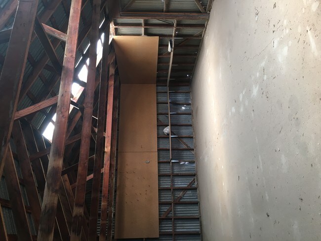
Warehouse
POTTER
I2
Texas
B and X Area of moderate flood hazard, usually the area between the limits of the 100-year and 500-year floods.
0.74 AC
2024
Amarillo
2025
Other Market Areas
012800
Amarillo, TX
4,000 SF
NEARBY LISTINGS FOR SALE OR LEASE
DEMOGRAPHICS near 750 N Grand St
1 mile
3 mile
5 mile
2025 Total Population
7,286
50,790
97,393
2030 Population
7,110
50,271
97,285
Pop Growth 2025-2030
(2.42%)
(1.02%)
(0.11%)
Average Age
34
36
37
2025 Total Households
2,381
17,131
34,627
HH Growth 2025-2030
(2.56%)
(1.05%)
(0.13%)
Median Household Inc
$36,734
$43,663
$48,739
Avg Household Size
3.00
2.80
2.60
2025 Avg HH Vehicles
2.00
2.00
2.00
Median Home Value
$82,527
$109,398
$130,993
Median Year Built
1955
1959
1958
Nearby Places
Map Layers
Map Styles
 Street
 Aerial
Layers
 Traffic
 Biking
Places
Listings with unknown addresses are not visible on the map
- Restaurants
- Banks
- Shops
- Fitness
- Groceries
PUBLIC TRANSPORTATION
AIRPORT
Rick Husband Amarillo International
Drive
Walk
Distance
Rick Husband Amarillo International
13 min
8.5 mi
Freight Ports
Tulsa Port Of Catoosa
Drive
Walk
Distance
Tulsa Port Of Catoosa
394 min
375.2 mi
SALE & LEASE HISTORY
LISTING DATE
SALE/LEASE

Sep 08, 2017
For Lease
Aug 28, 2019
For Lease
Nearby Properties
Address
Land Use
TOTAL SIZE
Lot Size
Zoning
Address
Land Use
TOTAL SIZE
Lot Size
Zoning
1,079,953 SF
106.07 AC
Address
Land Use
TOTAL SIZE
Lot Size
Zoning
414,471 SF
104.16 AC
LC
Address
Land Use
TOTAL SIZE
Lot Size
Zoning
250,705 SF
2.07 AC
CB
Address
Land Use
TOTAL SIZE
Lot Size
Zoning
350,459 SF
10.71 AC
Address
Land Use
TOTAL SIZE
Lot Size
Zoning
2,419 SF
8.93 AC
PD
Address
Land Use
TOTAL SIZE
Lot Size
Zoning
45,380 SF
2.62 AC
Address
Land Use
TOTAL SIZE
Lot Size
Zoning
325,727 SF
26.09 AC
2F
Address
Land Use
TOTAL SIZE
Lot Size
Zoning
254,693 SF
5.24 AC
LC
Address
Land Use
TOTAL SIZE
Lot Size
Zoning
325,220 SF
26.22 AC
PD
Address
Land Use
TOTAL SIZE
Lot Size
Zoning
371,536 SF
2.07 AC
CB
Address
Land Use
TOTAL SIZE
Lot Size
Zoning
133,279 SF
2.07 AC
CB
Address
Land Use
TOTAL SIZE
Lot Size
Zoning
100,350 SF
1.24 AC
CB
Address
Land Use
TOTAL SIZE
Lot Size
Zoning
125,357 SF
4.34 AC
LC
Address
Land Use
TOTAL SIZE
Lot Size
Zoning
80,476 SF
7.51 AC
I1
Address
Land Use
TOTAL SIZE
Lot Size
Zoning
388,909 SF
2.07 AC
CB
Address
Land Use
TOTAL SIZE
Lot Size
Zoning
77,549 SF
0.19 AC
CB
Address
Land Use
TOTAL SIZE
Lot Size
Zoning
193,004 SF
Address
Land Use
TOTAL SIZE
Lot Size
Zoning
127,654 SF
5.73 AC
HC
Address
Land Use
TOTAL SIZE
Lot Size
Zoning
132,820 SF
15.85 AC
R2
Address
Land Use
TOTAL SIZE
Lot Size
Zoning
169,056 SF
2.35 AC
MF2
Address
Land Use
TOTAL SIZE
Lot Size
Zoning
64,847 SF
25.67 AC
R1
Address
Land Use
TOTAL SIZE
Lot Size
Zoning
128,891 SF
0.96 AC
CB
Address
Land Use
TOTAL SIZE
Lot Size
Zoning
251,206 SF
1.50 AC
Address
Land Use
TOTAL SIZE
Lot Size
Zoning
69,116 SF
4.05 AC
Address
Land Use
TOTAL SIZE
Lot Size
Zoning
136,639 SF
18.07 AC
R2
Address
Land Use
TOTAL SIZE
Lot Size
Zoning
288,936 SF
19.72 AC
MF1
Address
Land Use
TOTAL SIZE
Lot Size
Zoning
165,311 SF
2.07 AC
CB
Address
Land Use
TOTAL SIZE
Lot Size
Zoning
179,900 SF
4.68 AC
Address
Land Use
TOTAL SIZE
Lot Size
Zoning
518,774 SF
2.07 AC
CB
Address
Land Use
TOTAL SIZE
Lot Size
Zoning
209,957 SF
24.24 AC
LC
The World's #1 Commercial Real Estate Marketplace
Connect with us
© 2026 CoStar Group
The information above has been obtained from sources believed reliable. While we do not doubt its accuracy we have not verified it and make no guarantee, warranty or representation about it. It is your responsibility to independently confirm its accuracy and completeness. Any projections, opinions, assumptions, or estimates used are for example only and do not represent the current or future performance of the property. The value of this transaction to you depends on tax and other factors which should be evaluated by your tax, financial, and legal advisors. You and your advisors should conduct a careful, independent investigation of the property to determine to your satisfaction the suitability of the property for your needs.