Property Record
750 Twentyninth Place Ct, Charlottesville, VA 22901
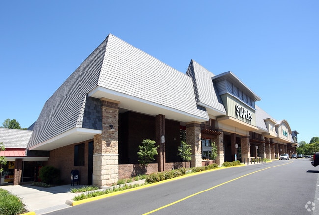
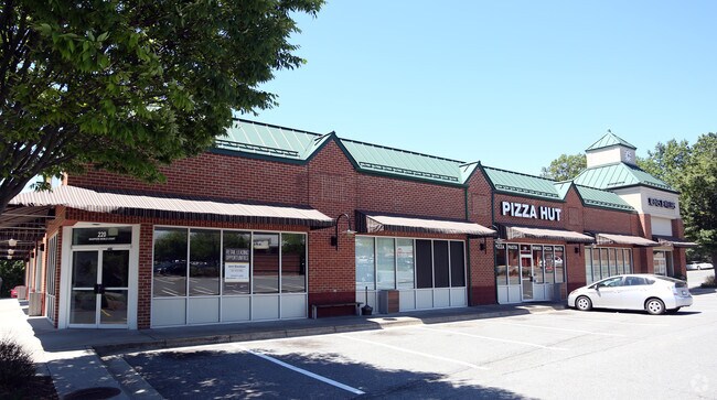
NEARBY LISTINGS FOR SALE OR LEASE
Property Detail
750 Twentyninth Place Ct
061M0-00-12-001C2
ACREAGE PARCEL Y 29TH PLACE NORTH SIDE
Realpropertynec
Albemarle
X
Virginia
51003C0278D
5.98 AC
2025
Charlottesville
2025
Other Market Areas
010702
Charlottesville, VA
4,141 SF
DEMOGRAPHICS near 750 Twentyninth Place Ct
1 Mile
3 Mile
5 Mile
2024 Total Population
10,854
44,556
100,241
2029 Population
11,317
45,422
101,385
Pop Growth 2024-2029
+ 4.27%
+ 1.94%
+ 1.14%
Average Age
41
40
37
2024 Total Households
4,725
18,813
40,365
HH Growth 2024-2029
+ 4.80%
+ 2.26%
+ 1.27%
Median Household Inc
$59,894
$74,759
$77,259
Avg Household Size
2.10
2.20
2.20
2024 Avg HH Vehicles
1.00
2.00
2.00
Median Home Value
$271,419
$419,189
$415,441
Median Year Built
1984
1982
1983
Nearby Places
Map Layers
Map Styles
 Street
 Aerial
- Restaurants
- Banks
- Shops
- Fitness
- Groceries
PUBLIC TRANSPORTATION
COMMUTER RAIL
DRIVE
WALK
Distance
11 min
4.4 mi
AIRPORT
Charlottesville-Albemarle
DRIVE
WALK
Distance
Charlottesville-Albemarle
13 min
6.0 mi
SALE & LEASE HISTORY
LISTING DATE
SALE/LEASE

Sep 25, 2016
For Lease
Oct 26, 2016
For Lease
Nearby Properties
Address
Land Use
TOTAL SIZE
Lot Size
Zoning
Address
Land Use
TOTAL SIZE
Lot Size
Zoning
13,125 SF
100.40 AC
R1 RESIDEN
Address
Land Use
TOTAL SIZE
Lot Size
Zoning
61,177 SF
30.40 AC
R1 RESIDEN
Address
Land Use
TOTAL SIZE
Lot Size
Zoning
497,658 SF
39.83 AC
NX-10
Address
Land Use
TOTAL SIZE
Lot Size
Zoning
3,465 SF
145.17 AC
CV
Address
Land Use
TOTAL SIZE
Lot Size
Zoning
254,749 SF
80.72 AC
CM
Address
Land Use
TOTAL SIZE
Lot Size
Zoning
62,900 SF
4.71 AC
NX-10
Address
Land Use
TOTAL SIZE
Lot Size
Zoning
3,803 SF
266.70 AC
CV
Address
Land Use
TOTAL SIZE
Lot Size
Zoning
12,876 SF
32.70 AC
NEIGHBORHO
Address
Land Use
TOTAL SIZE
Lot Size
Zoning
393,960 SF
16.14 AC
NMD
Address
Land Use
TOTAL SIZE
Lot Size
Zoning
78,332 SF
33.82 AC
CM
Address
Land Use
TOTAL SIZE
Lot Size
Zoning
46,770 SF
216.69 AC
RURAL AREA
Address
Land Use
TOTAL SIZE
Lot Size
Zoning
Address
Land Use
TOTAL SIZE
Lot Size
Zoning
1.38 AC
CX-3
Address
Land Use
TOTAL SIZE
Lot Size
Zoning
263,304 SF
9.77 AC
R15 RESIDE
Address
Land Use
TOTAL SIZE
Lot Size
Zoning
226,576 SF
2.72 AC
Address
Land Use
TOTAL SIZE
Lot Size
Zoning
249,740 SF
42.40 AC
CM
Address
Land Use
TOTAL SIZE
Lot Size
Zoning
288,555 SF
30.98 AC
PDSC
Address
Land Use
TOTAL SIZE
Lot Size
Zoning
16,000 SF
29.86 AC
R1 RESIDEN
Address
Land Use
TOTAL SIZE
Lot Size
Zoning
100 SF
19 AC
RURAL AREA
Address
Land Use
TOTAL SIZE
Lot Size
Zoning
117,270 SF
14.62 AC
CV
Address
Land Use
TOTAL SIZE
Lot Size
Zoning
103,624 SF
9.49 AC
NX-10
Address
Land Use
TOTAL SIZE
Lot Size
Zoning
281,480 SF
5.35 AC
CM
Address
Land Use
TOTAL SIZE
Lot Size
Zoning
366,877 SF
25.42 AC
LIGHT INDU
Address
Land Use
TOTAL SIZE
Lot Size
Zoning
69,624 SF
17.66 AC
CM
Address
Land Use
TOTAL SIZE
Lot Size
Zoning
154,479 SF
13.61 AC
NEIGHBORHO
Address
Land Use
TOTAL SIZE
Lot Size
Zoning
12,597 SF
25.20 AC
R1 RESIDEN
Address
Land Use
TOTAL SIZE
Lot Size
Zoning
58,538 SF
6.13 AC
HIGHWAY CO
Address
Land Use
TOTAL SIZE
Lot Size
Zoning
177,443 SF
13.08 AC
HIGHWAY CO
Address
Land Use
TOTAL SIZE
Lot Size
Zoning
138,559 SF
16.02 AC
NX-10
Address
Land Use
TOTAL SIZE
Lot Size
Zoning
85,280 SF
15.33 AC
CM
The World's #1 Commercial Real Estate Marketplace
Connect with us
© 2025 CoStar Group
The information above has been obtained from sources believed reliable. While we do not doubt its accuracy we have not verified it and make no guarantee, warranty or representation about it. It is your responsibility to independently confirm its accuracy and completeness. Any projections, opinions, assumptions, or estimates used are for example only and do not represent the current or future performance of the property. The value of this transaction to you depends on tax and other factors which should be evaluated by your tax, financial, and legal advisors. You and your advisors should conduct a careful, independent investigation of the property to determine to your satisfaction the suitability of the property for your needs.