Property Record
7500 Albert Rd, Brandywine, MD 20613
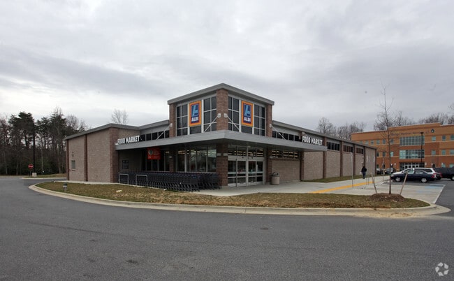


Property Detail
7500 Albert Rd
11-3994712
PARCEL K
Supermarket
Prince Georges
TACE
Maryland
B and X Area of moderate flood hazard, usually the area between the limits of the 100-year and 500-year floods.
1.98 AC
2024
Outlying PG County South
2025
Washington, DC
801003
Washington-Arlington-Alexandria, DC-VA-MD-WV
17,398 SF
NEARBY LISTINGS FOR SALE OR LEASE
DEMOGRAPHICS near 7500 Albert Rd
1 mile
3 mile
5 mile
2025 Total Population
3,937
25,420
72,073
2030 Population
4,147
26,544
74,707
Pop Growth 2025-2030
+ 5.33%
+ 4.42%
+ 3.65%
Average Age
39
40
40
2025 Total Households
1,348
9,180
25,794
HH Growth 2025-2030
+ 5.56%
+ 4.64%
+ 3.78%
Median Household Inc
$175,000
$115,189
$110,350
Avg Household Size
2.80
2.70
2.70
2025 Avg HH Vehicles
2.00
2.00
2.00
Median Home Value
$604,850
$428,848
$413,942
Median Year Built
2010
1992
1991
Nearby Places
Map Layers
Map Styles
 Street
 Aerial
Transit
 Traffic
 Biking
Places
Listings with unknown addresses are not visible on the map
- Restaurants
- Banks
- Shops
- Fitness
- Groceries
PUBLIC TRANSPORTATION
AIRPORT
Ronald Reagan Washington Ntl
Drive
Walk
Distance
Ronald Reagan Washington Ntl
38 min
23.3 mi
Freight Ports
Port of Baltimore
Drive
Walk
Distance
Port of Baltimore
73 min
50.1 mi
Nearby Properties
Address
Land Use
TOTAL SIZE
Lot Size
Zoning
Address
Land Use
TOTAL SIZE
Lot Size
Zoning
801,684 SF
34.05 AC
IE
Address
Land Use
TOTAL SIZE
Lot Size
Zoning
7,670 SF
9.78 AC
TACC
Address
Land Use
TOTAL SIZE
Lot Size
Zoning
392,898 SF
36.37 AC
PRD
Address
Land Use
TOTAL SIZE
Lot Size
Zoning
617,760 SF
25.75 AC
IE
Address
Land Use
TOTAL SIZE
Lot Size
Zoning
388,608 SF
28.45 AC
LCD
Address
Land Use
TOTAL SIZE
Lot Size
Zoning
126,592 SF
58.79 AC
ROS
Address
Land Use
TOTAL SIZE
Lot Size
Zoning
177,540 SF
12.66 AC
WCD
Address
Land Use
TOTAL SIZE
Lot Size
Zoning
177,540 SF
27.64 AC
WCD
Address
Land Use
TOTAL SIZE
Lot Size
Zoning
167,075 SF
11.01 AC
RH
Address
Land Use
TOTAL SIZE
Lot Size
Zoning
156,118 SF
17.01 AC
TACE
Address
Land Use
TOTAL SIZE
Lot Size
Zoning
62,838 SF
7.77 AC
TACE
Address
Land Use
TOTAL SIZE
Lot Size
Zoning
161,208 SF
10.99 AC
RH
Address
Land Use
TOTAL SIZE
Lot Size
Zoning
67,608 SF
4.01 AC
TACC
Address
Land Use
TOTAL SIZE
Lot Size
Zoning
98.41 AC
IH
Address
Land Use
TOTAL SIZE
Lot Size
Zoning
61,836 SF
9.63 AC
IE
Address
Land Use
TOTAL SIZE
Lot Size
Zoning
132,745 SF
2.59 AC
CC
Address
Land Use
TOTAL SIZE
Lot Size
Zoning
1,592.32 AC
ROS
Address
Land Use
TOTAL SIZE
Lot Size
Zoning
54,899 SF
5.23 AC
TACE
Address
Land Use
TOTAL SIZE
Lot Size
Zoning
128,909 SF
10.77 AC
TACE
Address
Land Use
TOTAL SIZE
Lot Size
Zoning
62,442 SF
4.84 AC
TACE
Address
Land Use
TOTAL SIZE
Lot Size
Zoning
28,508 SF
10 AC
TACC
Address
Land Use
TOTAL SIZE
Lot Size
Zoning
80,760 SF
5.70 AC
CC
Address
Land Use
TOTAL SIZE
Lot Size
Zoning
61,125 SF
10.10 AC
TACE
Address
Land Use
TOTAL SIZE
Lot Size
Zoning
80,922 SF
9.58 AC
PRD
Address
Land Use
TOTAL SIZE
Lot Size
Zoning
72,873 SF
8.05 AC
AUC
Address
Land Use
TOTAL SIZE
Lot Size
Zoning
127,206 SF
2.90 AC
TACE
Address
Land Use
TOTAL SIZE
Lot Size
Zoning
65,400 SF
4.41 AC
RH
Address
Land Use
TOTAL SIZE
Lot Size
Zoning
119,393 SF
12.21 AC
CC
Address
Land Use
TOTAL SIZE
Lot Size
Zoning
71,410 SF
7.67 AC
CC
Address
Land Use
TOTAL SIZE
Lot Size
Zoning
114,469 SF
17.34 AC
CC
The World's #1 Commercial Real Estate Marketplace
Connect with us
© 2026 CoStar Group
The information above has been obtained from sources believed reliable. While we do not doubt its accuracy we have not verified it and make no guarantee, warranty or representation about it. It is your responsibility to independently confirm its accuracy and completeness. Any projections, opinions, assumptions, or estimates used are for example only and do not represent the current or future performance of the property. The value of this transaction to you depends on tax and other factors which should be evaluated by your tax, financial, and legal advisors. You and your advisors should conduct a careful, independent investigation of the property to determine to your satisfaction the suitability of the property for your needs.