Property Record
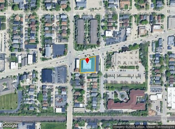
7515 W National Ave, Milwaukee, WI 53214


NEARBY LISTINGS FOR SALE OR LEASE
Property Detail
7515 W National Ave
Milwaukee-Waukesha-West Allis, WI
Linwood
453-0408-001
LINWOOD LOTS 2 THRU 6 & N 10 FT OF W 76 FT OF LOT 35 BLK 2 & VAC ALLEY ADJ
Miscellaneous
Milwaukee
X
Wisconsin
55133C0250G
2-6
2024
0.49 AC
2024
West Allis
100400
Milwaukee/Madison
DEMOGRAPHICS near 7515 W National Ave
1 Mile
3 Mile
5 Mile
2024 Total Population
23,374
150,088
415,510
2029 Population
22,911
146,360
408,160
Pop Growth 2024-2029
(1.98%)
(2.48%)
(1.77%)
Average Age
39
39
38
2024 Total Households
10,655
65,285
170,370
HH Growth 2024-2029
(2.03%)
(2.50%)
(1.76%)
Median Household Inc
$59,066
$62,349
$56,590
Avg Household Size
2.10
2.20
2.30
2024 Avg HH Vehicles
1.00
2.00
2.00
Median Home Value
$164,068
$178,446
$198,066
Median Year Built
1950
1953
1952
Nearby Places
Map Layers
Map Styles
 Street
 Aerial
- Restaurants
- Banks
- Shops
- Fitness
- Groceries
PUBLIC TRANSPORTATION
COMMUTER RAIL
Milwaukee (Empire Builder - Amtrak)
DRIVE
WALK
Distance
Milwaukee (Empire Builder - Amtrak)
11 min
5.6 mi
General Mitchell Intl. Airport Amtrak Station (Hiawatha Service - Amtrak)
DRIVE
WALK
Distance
General Mitchell Intl. Airport Amtrak Station (Hiawatha Service - Amtrak)
22 min
9.8 mi
AIRPORT
General Mitchell International
DRIVE
WALK
Distance
General Mitchell International
22 min
9.9 mi
Freight Ports
Port Milwaukee
DRIVE
WALK
Distance
Port Milwaukee
15 min
5.9 mi
SALE & LEASE HISTORY
LISTING DATE
SALE/LEASE

May 30, 2019
For Sale
Nearby Properties
Address
Land Use
TOTAL SIZE
Lot Size
Zoning
Address
Land Use
TOTAL SIZE
Lot Size
Zoning
8.63 AC
C2
Address
Land Use
TOTAL SIZE
Lot Size
Zoning
36.11 AC
Address
Land Use
TOTAL SIZE
Lot Size
Zoning
122.53 AC
TL
Address
Land Use
TOTAL SIZE
Lot Size
Zoning
23.16 AC
Address
Land Use
TOTAL SIZE
Lot Size
Zoning
13.48 AC
Address
Land Use
TOTAL SIZE
Lot Size
Zoning
5.12 AC
Address
Land Use
TOTAL SIZE
Lot Size
Zoning
Address
Land Use
TOTAL SIZE
Lot Size
Zoning
10.22 AC
SP-RP
Address
Land Use
TOTAL SIZE
Lot Size
Zoning
68.35 AC
TL
Address
Land Use
TOTAL SIZE
Lot Size
Zoning
Address
Land Use
TOTAL SIZE
Lot Size
Zoning
8,881 SF
7.52 AC
Address
Land Use
TOTAL SIZE
Lot Size
Zoning
13.39 AC
Address
Land Use
TOTAL SIZE
Lot Size
Zoning
9.33 AC
PUD
Address
Land Use
TOTAL SIZE
Lot Size
Zoning
47.96 AC
TL
Address
Land Use
TOTAL SIZE
Lot Size
Zoning
3.74 AC
PUD
Address
Land Use
TOTAL SIZE
Lot Size
Zoning
16.84 AC
Address
Land Use
TOTAL SIZE
Lot Size
Zoning
2.13 AC
SP-MED
Address
Land Use
TOTAL SIZE
Lot Size
Zoning
Address
Land Use
TOTAL SIZE
Lot Size
Zoning
39.81 AC
Address
Land Use
TOTAL SIZE
Lot Size
Zoning
8.78 AC
Address
Land Use
TOTAL SIZE
Lot Size
Zoning
0.36 AC
Address
Land Use
TOTAL SIZE
Lot Size
Zoning
Address
Land Use
TOTAL SIZE
Lot Size
Zoning
20.61 AC
TL
Address
Land Use
TOTAL SIZE
Lot Size
Zoning
132,289 SF
5.34 AC
PD
Address
Land Use
TOTAL SIZE
Lot Size
Zoning
Address
Land Use
TOTAL SIZE
Lot Size
Zoning
12.47 AC
Address
Land Use
TOTAL SIZE
Lot Size
Zoning
35.55 AC
INSTITUTIO
Address
Land Use
TOTAL SIZE
Lot Size
Zoning
174,510 SF
7.37 AC
PD
Address
Land Use
TOTAL SIZE
Lot Size
Zoning
164,825 SF
7.93 AC
PD
Address
Land Use
TOTAL SIZE
Lot Size
Zoning
7.55 AC
SP-INS
The World's #1 Commercial Real Estate Marketplace
Connect with us
© 2025 CoStar Group
The information above has been obtained from sources believed reliable. While we do not doubt its accuracy we have not verified it and make no guarantee, warranty or representation about it. It is your responsibility to independently confirm its accuracy and completeness. Any projections, opinions, assumptions, or estimates used are for example only and do not represent the current or future performance of the property. The value of this transaction to you depends on tax and other factors which should be evaluated by your tax, financial, and legal advisors. You and your advisors should conduct a careful, independent investigation of the property to determine to your satisfaction the suitability of the property for your needs.