Property Record
7565 E Hidden Valley Dr, Reno, NV 89502


Save to a Folder
{{folder.Name}}
{{folder.ListingIds.length}} Properties
{{folder.ListingIds.length}} Property
Create a New Folder
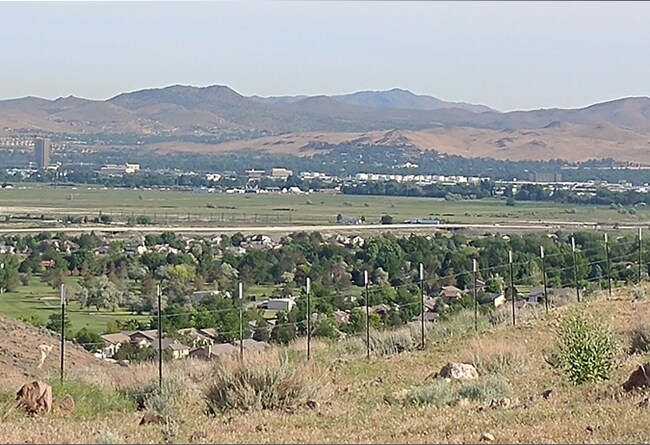
Property Detail
7565 E Hidden Valley Dr
021-270-15
FRAC SE4 NE4 SEC 34 TWP 19N RGE 20E
Residentialacreage
WASHOE
HDR 28% /
Nevada
B and X Area of moderate flood hazard, usually the area between the limits of the 100-year and 500-year floods.
5 AC
2025
S Outlying Washoe County
2026
Reno/Sparks
980000
Reno, NV
NEARBY LISTINGS FOR SALE OR LEASE
DEMOGRAPHICS near 7565 E Hidden Valley Dr
1 mile
3 mile
5 mile
2025 Total Population
733
34,720
104,360
2030 Population
744
35,537
107,462
Pop Growth 2025-2030
+ 1.50%
+ 2.35%
+ 2.97%
Average Age
53
42
40
2025 Total Households
309
13,993
43,069
HH Growth 2025-2030
+ 1.62%
+ 2.49%
+ 3.10%
Median Household Inc
$113,988
$108,880
$85,130
Avg Household Size
2.30
2.40
2.40
2025 Avg HH Vehicles
3.00
2.00
2.00
Median Home Value
$723,529
$619,791
$611,435
Median Year Built
1990
1999
1992
Nearby Places
Map Layers
Map Styles
 Street
 Aerial
Layers
 Traffic
 Biking
Places
Listings with unknown addresses are not visible on the map
- Restaurants
- Banks
- Shops
- Fitness
- Groceries
PUBLIC TRANSPORTATION
COMMUTER RAIL
Reno (California Zephyr - Amtrak)
Drive
Walk
Distance
Reno (California Zephyr - Amtrak)
20 min
8.2 mi
AIRPORT
Reno/Tahoe International
Drive
Walk
Distance
Reno/Tahoe International
35 min
9.8 mi
Freight Ports
Port of Stockton
Drive
Walk
Distance
Port of Stockton
225 min
188.9 mi
SALE & LEASE HISTORY
LISTING DATE
SALE/LEASE

Jun 20, 2018
For Sale
Nearby Properties
Address
Land Use
TOTAL SIZE
Lot Size
Zoning
Address
Land Use
TOTAL SIZE
Lot Size
Zoning
390,743 SF
22.20 AC
IC
Address
Land Use
TOTAL SIZE
Lot Size
Zoning
1,051,043 SF
78.81 AC
PD
Address
Land Use
TOTAL SIZE
Lot Size
Zoning
425,118 SF
30.37 AC
IC
Address
Land Use
TOTAL SIZE
Lot Size
Zoning
991,800 SF
51.03 AC
PD
Address
Land Use
TOTAL SIZE
Lot Size
Zoning
893,055 SF
52.71 AC
MA
Address
Land Use
TOTAL SIZE
Lot Size
Zoning
451,635 SF
15 AC
PD
Address
Land Use
TOTAL SIZE
Lot Size
Zoning
335,490 SF
19.54 AC
PD
Address
Land Use
TOTAL SIZE
Lot Size
Zoning
365,634 SF
19.70 AC
MF21
Address
Land Use
TOTAL SIZE
Lot Size
Zoning
366,641 SF
37.91 AC
MA
Address
Land Use
TOTAL SIZE
Lot Size
Zoning
187,900 SF
14.83 AC
PD
Address
Land Use
TOTAL SIZE
Lot Size
Zoning
270,950 SF
14.86 AC
IC
Address
Land Use
TOTAL SIZE
Lot Size
Zoning
378.16 AC
GR
Address
Land Use
TOTAL SIZE
Lot Size
Zoning
176,666 SF
7.10 AC
PD
Address
Land Use
TOTAL SIZE
Lot Size
Zoning
381,852 SF
18.60 AC
GC
Address
Land Use
TOTAL SIZE
Lot Size
Zoning
394,767 SF
23.50 AC
PD
Address
Land Use
TOTAL SIZE
Lot Size
Zoning
452,732 SF
19.30 AC
IC
Address
Land Use
TOTAL SIZE
Lot Size
Zoning
406,418 SF
20.55 AC
PD
Address
Land Use
TOTAL SIZE
Lot Size
Zoning
395,488 SF
19.97 AC
IC
Address
Land Use
TOTAL SIZE
Lot Size
Zoning
0.36 AC
Address
Land Use
TOTAL SIZE
Lot Size
Zoning
344,784 SF
18.13 AC
GC
Address
Land Use
TOTAL SIZE
Lot Size
Zoning
172,936 SF
8.26 AC
MF21
Address
Land Use
TOTAL SIZE
Lot Size
Zoning
213,131 SF
11.19 AC
MF21
Address
Land Use
TOTAL SIZE
Lot Size
Zoning
121,405 SF
4.14 AC
PD
Address
Land Use
TOTAL SIZE
Lot Size
Zoning
240,925 SF
13.91 AC
PD
Address
Land Use
TOTAL SIZE
Lot Size
Zoning
333,598 SF
16.44 AC
PD
Address
Land Use
TOTAL SIZE
Lot Size
Zoning
227,421 SF
19.66 AC
MF14
Address
Land Use
TOTAL SIZE
Lot Size
Zoning
80,394 SF
8 AC
PD
Address
Land Use
TOTAL SIZE
Lot Size
Zoning
321,704 SF
15.64 AC
PD
Address
Land Use
TOTAL SIZE
Lot Size
Zoning
211,230 SF
11.28 AC
MF21
Address
Land Use
TOTAL SIZE
Lot Size
Zoning
317,687 SF
14.38 AC
IC
The World's #1 Commercial Real Estate Marketplace
Connect with us
© 2026 CoStar Group
The information above has been obtained from sources believed reliable. While we do not doubt its accuracy we have not verified it and make no guarantee, warranty or representation about it. It is your responsibility to independently confirm its accuracy and completeness. Any projections, opinions, assumptions, or estimates used are for example only and do not represent the current or future performance of the property. The value of this transaction to you depends on tax and other factors which should be evaluated by your tax, financial, and legal advisors. You and your advisors should conduct a careful, independent investigation of the property to determine to your satisfaction the suitability of the property for your needs.