Property Record
76 Norwich Westerly Rd, North Stonington, CT 06359

NEARBY LISTINGS FOR SALE OR LEASE
-
-
View all North Stonington listings for sale on LoopNet.com
Property Detail
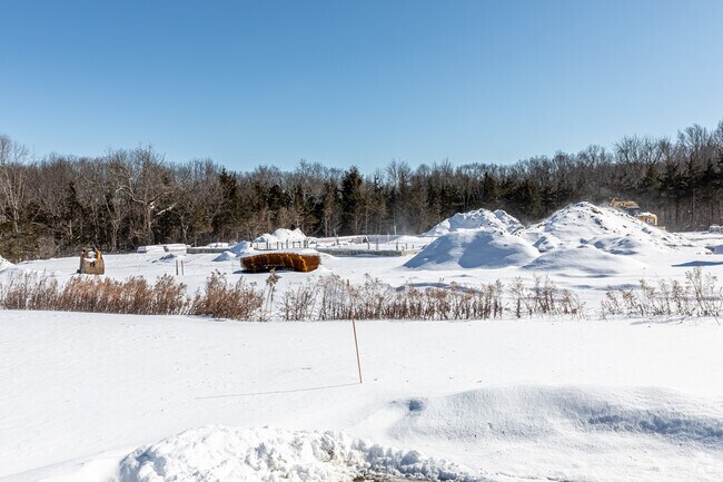
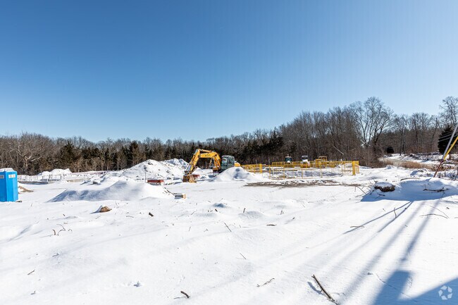
76 Norwich Westerly Rd
NSTO-000122-000000-004863
New London
Departmentstore
Connecticut
X
4863
09011C0411H
2 AC
2025
SE New London
2025
Hartford
707100
Norwich-New London-Willimantic, CT
4,960 SF
DEMOGRAPHICS near 76 Norwich Westerly Rd
1 Mile
3 Mile
5 Mile
2024 Total Population
277
9,090
28,814
2029 Population
273
8,922
28,358
Pop Growth 2024-2029
(1.44%)
(1.85%)
(1.58%)
Average Age
44
43
44
2024 Total Households
111
3,632
12,361
HH Growth 2024-2029
(1.80%)
(2.09%)
(1.80%)
Median Household Inc
$47,500
$78,211
$78,642
Avg Household Size
2.50
2.40
2.30
2024 Avg HH Vehicles
3.00
2.00
2.00
Median Home Value
$244,117
$351,066
$345,482
Median Year Built
1960
1970
1967
Nearby Places
Map Layers
Map Styles
 Street
 Aerial
- Restaurants
- Banks
- Shops
- Fitness
- Groceries
PUBLIC TRANSPORTATION
COMMUTER RAIL
DRIVE
WALK
Distance
7 min
4.3 mi
DRIVE
WALK
Distance
13 min
9.2 mi
AIRPORT
Rhode Island Tf Green International
DRIVE
WALK
Distance
Rhode Island Tf Green International
51 min
36.2 mi
Freight Ports
Port of Davisville, RI
DRIVE
WALK
Distance
Port of Davisville, RI
52 min
36.5 mi
Nearby Properties
Address
Land Use
TOTAL SIZE
Lot Size
Zoning
Address
Land Use
TOTAL SIZE
Lot Size
Zoning
58,752 SF
3.88 AC
R60
Address
Land Use
TOTAL SIZE
Lot Size
Zoning
66,003 SF
44.50 AC
GBR-13
Address
Land Use
TOTAL SIZE
Lot Size
Zoning
55,521 SF
37.62 AC
R60
Address
Land Use
TOTAL SIZE
Lot Size
Zoning
46,532 SF
7.67 AC
R40
Address
Land Use
TOTAL SIZE
Lot Size
Zoning
40,943 SF
25.78 AC
Address
Land Use
TOTAL SIZE
Lot Size
Zoning
64,166 SF
12 AC
HI-60
Address
Land Use
TOTAL SIZE
Lot Size
Zoning
46,362 SF
7.43 AC
Address
Land Use
TOTAL SIZE
Lot Size
Zoning
3,000 SF
50.36 AC
HI-60
Address
Land Use
TOTAL SIZE
Lot Size
Zoning
100,124 SF
14.28 AC
EDD
Address
Land Use
TOTAL SIZE
Lot Size
Zoning
87,327 SF
7.93 AC
C
Address
Land Use
TOTAL SIZE
Lot Size
Zoning
25,252 SF
3.87 AC
CS-5
Address
Land Use
TOTAL SIZE
Lot Size
Zoning
40.46 AC
I
Address
Land Use
TOTAL SIZE
Lot Size
Zoning
13,509 SF
8 AC
R40
Address
Land Use
TOTAL SIZE
Lot Size
Zoning
42,220 SF
4.05 AC
HI-60
Address
Land Use
TOTAL SIZE
Lot Size
Zoning
154.30 AC
GB-130
Address
Land Use
TOTAL SIZE
Lot Size
Zoning
10.22 AC
EDD
Address
Land Use
TOTAL SIZE
Lot Size
Zoning
18,750 SF
3.53 AC
HI-60
Address
Land Use
TOTAL SIZE
Lot Size
Zoning
27.30 AC
EDD
Address
Land Use
TOTAL SIZE
Lot Size
Zoning
37,730 SF
13.67 AC
HI-60
Address
Land Use
TOTAL SIZE
Lot Size
Zoning
9,896 SF
8.08 AC
RR-80
Address
Land Use
TOTAL SIZE
Lot Size
Zoning
103.80 AC
Address
Land Use
TOTAL SIZE
Lot Size
Zoning
61,080 SF
10.09 AC
HI-60
Address
Land Use
TOTAL SIZE
Lot Size
Zoning
57,278 SF
5.04 AC
C
Address
Land Use
TOTAL SIZE
Lot Size
Zoning
5.04 AC
HI-60
Address
Land Use
TOTAL SIZE
Lot Size
Zoning
17.25 AC
HI-60
Address
Land Use
TOTAL SIZE
Lot Size
Zoning
7.46 AC
R60
Address
Land Use
TOTAL SIZE
Lot Size
Zoning
3.36 AC
Address
Land Use
TOTAL SIZE
Lot Size
Zoning
1,935 SF
3.06 AC
EDD
Address
Land Use
TOTAL SIZE
Lot Size
Zoning
0.93 AC
Address
Land Use
TOTAL SIZE
Lot Size
Zoning
89,960 SF
2.59 AC
The World's #1 Commercial Real Estate Marketplace
Connect with us
© 2026 CoStar Group
The information above has been obtained from sources believed reliable. While we do not doubt its accuracy we have not verified it and make no guarantee, warranty or representation about it. It is your responsibility to independently confirm its accuracy and completeness. Any projections, opinions, assumptions, or estimates used are for example only and do not represent the current or future performance of the property. The value of this transaction to you depends on tax and other factors which should be evaluated by your tax, financial, and legal advisors. You and your advisors should conduct a careful, independent investigation of the property to determine to your satisfaction the suitability of the property for your needs.