Property Record
760 Airport Rd, Ormond Beach, FL 32174

Property Detail
760 Airport Rd
4207-00-00-0010
12 13 37 & 38-14-31 & 7 8 18 38 & 44-14-32 ALL SEC 7-14-32 & ANN PAPY GRANT SEC 44-14-32 INC E ALL FRAC S OF RR SEC 8-14-32 & GOV LOTS 1 & 2 SEC 18-14-32 & GOV LOTS 1 3 & 4 SEC 12-14-31 & W 1600 FT ON S/L OF S 990 FT & STRIP 100 FT WIDE BEING E 100 F
Municipalproperty
VOLUSIA
RR
Florida
A Areas with a 1% annual chance of flooding and a 26% chance of flooding over the life of a 30-year mortgage.
1-4
0
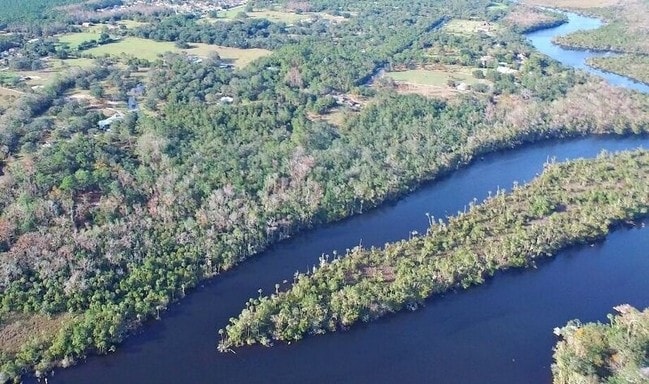
568.97 AC
2026
Ormond Beach
080101
Deltona/Daytona Beach
87,633 SF
Deltona-Daytona Beach-Ormond Beach, FL
NEARBY LISTINGS FOR SALE OR LEASE
DEMOGRAPHICS near 760 Airport Rd
1 mile
3 mile
5 mile
2025 Total Population
2,791
37,717
85,084
2030 Population
2,966
40,407
92,178
Pop Growth 2025-2030
+ 6.27%
+ 7.13%
+ 8.34%
Average Age
47
47
48
2025 Total Households
1,190
16,463
38,299
HH Growth 2025-2030
+ 6.22%
+ 7.14%
+ 8.46%
Median Household Inc
$83,881
$60,741
$63,383
Avg Household Size
2.30
2.20
2.10
2025 Avg HH Vehicles
2.00
2.00
2.00
Median Home Value
$407,000
$354,572
$360,642
Median Year Built
1980
1987
1982
Nearby Places
Map Layers
Map Styles
 Street
 Aerial
Layers
 Traffic
 Biking
Places
Listings with unknown addresses are not visible on the map
- Restaurants
- Banks
- Shops
- Fitness
- Groceries
PUBLIC TRANSPORTATION
AIRPORT
Daytona Beach International
Drive
Walk
Distance
Daytona Beach International
24 min
13.7 mi
Freight Ports
Port Canaveral
Drive
Walk
Distance
Port Canaveral
97 min
80.9 mi
SALE & LEASE HISTORY
LISTING DATE
SALE/LEASE

Mar 29, 2017
For Sale
Nearby Properties
Address
Land Use
TOTAL SIZE
Lot Size
Zoning
Address
Land Use
TOTAL SIZE
Lot Size
Zoning
12,394 SF
139.59 AC
Address
Land Use
TOTAL SIZE
Lot Size
Zoning
470,843 SF
1.78 AC
RC
Address
Land Use
TOTAL SIZE
Lot Size
Zoning
13,846 SF
126.83 AC
13T1
Address
Land Use
TOTAL SIZE
Lot Size
Zoning
180,767 SF
27.05 AC
13R6
Address
Land Use
TOTAL SIZE
Lot Size
Zoning
137,934 SF
48.30 AC
Address
Land Use
TOTAL SIZE
Lot Size
Zoning
168,456 SF
15.74 AC
Address
Land Use
TOTAL SIZE
Lot Size
Zoning
144,576 SF
11.19 AC
13R6
Address
Land Use
TOTAL SIZE
Lot Size
Zoning
162,450 SF
1.42 AC
13B9
Address
Land Use
TOTAL SIZE
Lot Size
Zoning
5,350 SF
36.42 AC
13T1
Address
Land Use
TOTAL SIZE
Lot Size
Zoning
152,621 SF
18.26 AC
C
Address
Land Use
TOTAL SIZE
Lot Size
Zoning
219,381 SF
25.44 AC
13B8
Address
Land Use
TOTAL SIZE
Lot Size
Zoning
179,868 SF
0.33 AC
Address
Land Use
TOTAL SIZE
Lot Size
Zoning
82,156 SF
39.74 AC
MH4
Address
Land Use
TOTAL SIZE
Lot Size
Zoning
161,123 SF
13.56 AC
I1
Address
Land Use
TOTAL SIZE
Lot Size
Zoning
61,570 SF
23.04 AC
Address
Land Use
TOTAL SIZE
Lot Size
Zoning
148,966 SF
5.54 AC
13B10
Address
Land Use
TOTAL SIZE
Lot Size
Zoning
96,309 SF
29.04 AC
Address
Land Use
TOTAL SIZE
Lot Size
Zoning
127,463 SF
5.50 AC
01B2
Address
Land Use
TOTAL SIZE
Lot Size
Zoning
173,757 SF
11.64 AC
Address
Land Use
TOTAL SIZE
Lot Size
Zoning
94,926 SF
3.85 AC
Address
Land Use
TOTAL SIZE
Lot Size
Zoning
156,482 SF
27.91 AC
13SE
Address
Land Use
TOTAL SIZE
Lot Size
Zoning
102,345 SF
2.74 AC
Address
Land Use
TOTAL SIZE
Lot Size
Zoning
117,116 SF
18 AC
Address
Land Use
TOTAL SIZE
Lot Size
Zoning
96,983 SF
12.79 AC
C
Address
Land Use
TOTAL SIZE
Lot Size
Zoning
180,677 SF
12.31 AC
13I1
Address
Land Use
TOTAL SIZE
Lot Size
Zoning
98,646 SF
6.88 AC
13B4
Address
Land Use
TOTAL SIZE
Lot Size
Zoning
85,950 SF
8.24 AC
Address
Land Use
TOTAL SIZE
Lot Size
Zoning
89,633 SF
9.66 AC
13R6
Address
Land Use
TOTAL SIZE
Lot Size
Zoning
73,949 SF
12.05 AC
01A2
The World's #1 Commercial Real Estate Marketplace
Connect with us
© 2026 CoStar Group
The information above has been obtained from sources believed reliable. While we do not doubt its accuracy we have not verified it and make no guarantee, warranty or representation about it. It is your responsibility to independently confirm its accuracy and completeness. Any projections, opinions, assumptions, or estimates used are for example only and do not represent the current or future performance of the property. The value of this transaction to you depends on tax and other factors which should be evaluated by your tax, financial, and legal advisors. You and your advisors should conduct a careful, independent investigation of the property to determine to your satisfaction the suitability of the property for your needs.