Property Record
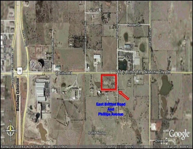
760 E Britton Rd, Oklahoma City, OK 73114

Property Detail
760 E Britton Rd
208581015
CEDAR CREEK COMMONS 001 000 W91.69FT OF LOT 2
Taxexempt
OKLAHOMA
PUD
Oklahoma
B and X Area of moderate flood hazard, usually the area between the limits of the 100-year and 500-year floods.
2
0
0.38 AC
2025
North
108301
Oklahoma City
4,041 SF
Oklahoma City, OK
NEARBY LISTINGS FOR SALE OR LEASE
-
-
-
-
-
-
-
-
-
-
-
NE Grand Blvd & N Martin Luther King Ave
Oklahoma City, OK 73111
Rent Upon Request
6 - 20 AC Lot
Land
-
-
-
-
-
-
View all Oklahoma City listings for sale on LoopNet.com
DEMOGRAPHICS near 760 E Britton Rd
1 mile
3 mile
5 mile
2025 Total Population
2,449
34,415
140,087
2030 Population
2,538
35,412
143,557
Pop Growth 2025-2030
+ 3.63%
+ 2.90%
+ 2.48%
Average Age
37
37
39
2025 Total Households
882
14,715
63,524
HH Growth 2025-2030
+ 3.85%
+ 3.02%
+ 2.65%
Median Household Inc
$46,143
$63,640
$67,100
Avg Household Size
2.60
2.20
2.10
2025 Avg HH Vehicles
2.00
2.00
2.00
Median Home Value
$217,619
$230,964
$279,727
Median Year Built
1974
1974
1975
Nearby Places
Map Layers
Map Styles
 Street
 Aerial
Layers
 Traffic
 Biking
Places
Listings with unknown addresses are not visible on the map
- Restaurants
- Banks
- Shops
- Fitness
- Groceries
PUBLIC TRANSPORTATION
COMMUTER RAIL
Drive
Walk
Distance
12 min
8.0 mi
AIRPORT
Will Rogers World
Drive
Walk
Distance
Will Rogers World
29 min
16.9 mi
Nearby Properties
Address
Land Use
TOTAL SIZE
Lot Size
Zoning
Address
Land Use
TOTAL SIZE
Lot Size
Zoning
242,907 SF
I-2
Address
Land Use
TOTAL SIZE
Lot Size
Zoning
233,053 SF
18.93 AC
O-2
Address
Land Use
TOTAL SIZE
Lot Size
Zoning
442,553 SF
58.86 AC
PUD
Address
Land Use
TOTAL SIZE
Lot Size
Zoning
469,063 SF
71.44 AC
I-2
Address
Land Use
TOTAL SIZE
Lot Size
Zoning
777,727 SF
54.25 AC
I-2
Address
Land Use
TOTAL SIZE
Lot Size
Zoning
294,583 SF
20.14 AC
PUD
Address
Land Use
TOTAL SIZE
Lot Size
Zoning
327,248 SF
14.22 AC
R-4
Address
Land Use
TOTAL SIZE
Lot Size
Zoning
93,244 SF
7.54 AC
PUD
Address
Land Use
TOTAL SIZE
Lot Size
Zoning
399,688 SF
80.57 AC
PUD
Address
Land Use
TOTAL SIZE
Lot Size
Zoning
6.19 AC
PUD
Address
Land Use
TOTAL SIZE
Lot Size
Zoning
105,426 SF
7.79 AC
O-2
Address
Land Use
TOTAL SIZE
Lot Size
Zoning
254,126 SF
2.11 AC
SPUD
Address
Land Use
TOTAL SIZE
Lot Size
Zoning
322,252 SF
36.89 AC
PUD
Address
Land Use
TOTAL SIZE
Lot Size
Zoning
43,489 SF
14.86 AC
PUD
Address
Land Use
TOTAL SIZE
Lot Size
Zoning
21,000 SF
2.64 AC
I-1
Address
Land Use
TOTAL SIZE
Lot Size
Zoning
574,062 SF
53.69 AC
I-2
Address
Land Use
TOTAL SIZE
Lot Size
Zoning
280,970 SF
24.32 AC
PUD
Address
Land Use
TOTAL SIZE
Lot Size
Zoning
258,381 SF
2.54 AC
PUD
Address
Land Use
TOTAL SIZE
Lot Size
Zoning
138,774 SF
14.63 AC
Address
Land Use
TOTAL SIZE
Lot Size
Zoning
160,389 SF
16.48 AC
PUD
Address
Land Use
TOTAL SIZE
Lot Size
Zoning
4,320 SF
8.57 AC
PUD
Address
Land Use
TOTAL SIZE
Lot Size
Zoning
5.06 AC
SPUD
Address
Land Use
TOTAL SIZE
Lot Size
Zoning
436,316 SF
5.23 AC
I-1
Address
Land Use
TOTAL SIZE
Lot Size
Zoning
39,800 SF
4.10 AC
PUD
Address
Land Use
TOTAL SIZE
Lot Size
Zoning
1 SF
3.72 AC
C-3
Address
Land Use
TOTAL SIZE
Lot Size
Zoning
51,176 SF
23.24 AC
PUD
Address
Land Use
TOTAL SIZE
Lot Size
Zoning
160,816 SF
16.14 AC
Address
Land Use
TOTAL SIZE
Lot Size
Zoning
59,307 SF
3.75 AC
PUD
Address
Land Use
TOTAL SIZE
Lot Size
Zoning
198,422 SF
4.17 AC
O-2
The World's #1 Commercial Real Estate Marketplace
Connect with us
© 2026 CoStar Group
The information above has been obtained from sources believed reliable. While we do not doubt its accuracy we have not verified it and make no guarantee, warranty or representation about it. It is your responsibility to independently confirm its accuracy and completeness. Any projections, opinions, assumptions, or estimates used are for example only and do not represent the current or future performance of the property. The value of this transaction to you depends on tax and other factors which should be evaluated by your tax, financial, and legal advisors. You and your advisors should conduct a careful, independent investigation of the property to determine to your satisfaction the suitability of the property for your needs.