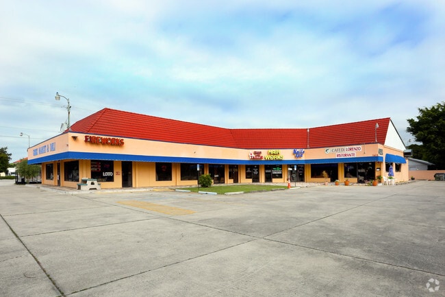
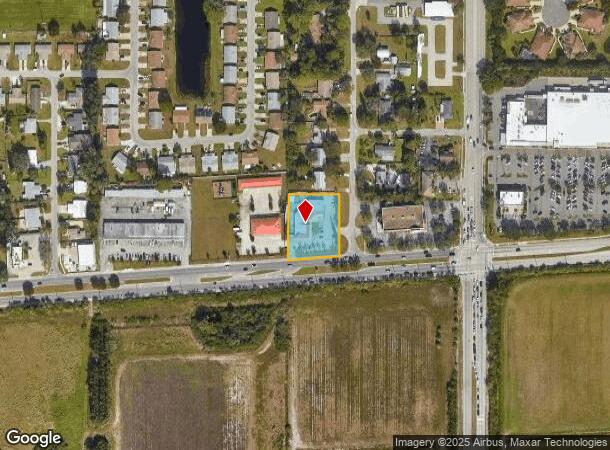
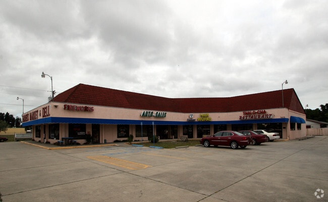
Property Record
7604 Cortez Rd W, Bradenton, FL 34210
NEARBY LISTINGS FOR SALE OR LEASE
Property Detail
7604 Cortez Rd W
North Port-Sarasota-Bradenton, FL
Marlita Sections A & B
51534-0000-6
LOTS 9,10 BLK D SECTION A MARLITA SUB PI#51534.0000/6
Storemultistory
Manatee
X
Florida
12081C0284F
9
2024
0.87 AC
2025
Manatee
001107
Tampa/St Petersburg
8,778 SF
DEMOGRAPHICS near 7604 Cortez Rd W
1 Mile
3 Mile
5 Mile
2024 Total Population
7,380
48,891
143,087
2029 Population
8,638
57,168
168,284
Pop Growth 2024-2029
+ 17.05%
+ 16.93%
+ 17.61%
Average Age
49
50
48
2024 Total Households
3,574
23,012
65,228
HH Growth 2024-2029
+ 16.20%
+ 16.21%
+ 17.01%
Median Household Inc
$55,380
$62,053
$54,527
Avg Household Size
2.00
2.10
2.10
2024 Avg HH Vehicles
1.00
2.00
2.00
Median Home Value
$254,090
$266,666
$248,805
Median Year Built
1986
1981
1977
Nearby Places
Map Layers
Map Styles
 Street
 Aerial
- Restaurants
- Banks
- Shops
- Fitness
- Groceries
PUBLIC TRANSPORTATION
AIRPORT
Sarasota/Bradenton International
DRIVE
WALK
Distance
Sarasota/Bradenton International
17 min
9.2 mi
Freight Ports
Port Manatee
DRIVE
WALK
Distance
Port Manatee
32 min
18.3 mi
Nearby Properties
Address
Land Use
TOTAL SIZE
Lot Size
Zoning
Address
Land Use
TOTAL SIZE
Lot Size
Zoning
623,436 SF
88.25 AC
PD-R,MP-I
Address
Land Use
TOTAL SIZE
Lot Size
Zoning
422,640 SF
12.10 AC
PD-R
Address
Land Use
TOTAL SIZE
Lot Size
Zoning
508,298 SF
18.71 AC
P
Address
Land Use
TOTAL SIZE
Lot Size
Zoning
437,460 SF
46.14 AC
PD-R
Address
Land Use
TOTAL SIZE
Lot Size
Zoning
356,808 SF
24.25 AC
RMF-9 MULT
Address
Land Use
TOTAL SIZE
Lot Size
Zoning
456,263 SF
28.02 AC
BR_R-3
Address
Land Use
TOTAL SIZE
Lot Size
Zoning
314,018 SF
28.20 AC
BR_R-3
Address
Land Use
TOTAL SIZE
Lot Size
Zoning
297,456 SF
17.24 AC
GC,RMF-9
Address
Land Use
TOTAL SIZE
Lot Size
Zoning
279,545 SF
19.41 AC
BR_R-1
Address
Land Use
TOTAL SIZE
Lot Size
Zoning
395,543 SF
29.18 AC
BR_R-3
Address
Land Use
TOTAL SIZE
Lot Size
Zoning
235,443 SF
14.75 AC
RMF-9 MULT
Address
Land Use
TOTAL SIZE
Lot Size
Zoning
117,547 SF
11.64 AC
MP-I
Address
Land Use
TOTAL SIZE
Lot Size
Zoning
153,663 SF
110.35 AC
MP-I
Address
Land Use
TOTAL SIZE
Lot Size
Zoning
214,906 SF
20.71 AC
BR_R-1
Address
Land Use
TOTAL SIZE
Lot Size
Zoning
223,974 SF
17.41 AC
BR_R-2
Address
Land Use
TOTAL SIZE
Lot Size
Zoning
335,019 SF
32.58 AC
BR_R-3
Address
Land Use
TOTAL SIZE
Lot Size
Zoning
163,868 SF
12.60 AC
BR_R-3
Address
Land Use
TOTAL SIZE
Lot Size
Zoning
162,027 SF
14.21 AC
BR_R-2
Address
Land Use
TOTAL SIZE
Lot Size
Zoning
331,144 SF
40.48 AC
PD-PI
Address
Land Use
TOTAL SIZE
Lot Size
Zoning
583,480 SF
16.52 AC
BR_R-3
Address
Land Use
TOTAL SIZE
Lot Size
Zoning
106,355 SF
120.66 AC
BR_PDP
Address
Land Use
TOTAL SIZE
Lot Size
Zoning
118,425 SF
320.26 AC
Address
Land Use
TOTAL SIZE
Lot Size
Zoning
153,564 SF
9.69 AC
MP-I
Address
Land Use
TOTAL SIZE
Lot Size
Zoning
171,396 SF
15.03 AC
GC GENERA
Address
Land Use
TOTAL SIZE
Lot Size
Zoning
211,632 SF
24.68 AC
BR_SCC
Address
Land Use
TOTAL SIZE
Lot Size
Zoning
201,088 SF
20.94 AC
PD-R
Address
Land Use
TOTAL SIZE
Lot Size
Zoning
102,200 SF
5.90 AC
MP-I
Address
Land Use
TOTAL SIZE
Lot Size
Zoning
185,036 SF
11.81 AC
BR_SCC
Address
Land Use
TOTAL SIZE
Lot Size
Zoning
183,282 SF
17.80 AC
RSF-4.5 RE
Address
Land Use
TOTAL SIZE
Lot Size
Zoning
66,041 SF
6.21 AC
RMF-6 MULT
The World's #1 Commercial Real Estate Marketplace
Connect with us
© 2025 CoStar Group
The information above has been obtained from sources believed reliable. While we do not doubt its accuracy we have not verified it and make no guarantee, warranty or representation about it. It is your responsibility to independently confirm its accuracy and completeness. Any projections, opinions, assumptions, or estimates used are for example only and do not represent the current or future performance of the property. The value of this transaction to you depends on tax and other factors which should be evaluated by your tax, financial, and legal advisors. You and your advisors should conduct a careful, independent investigation of the property to determine to your satisfaction the suitability of the property for your needs.