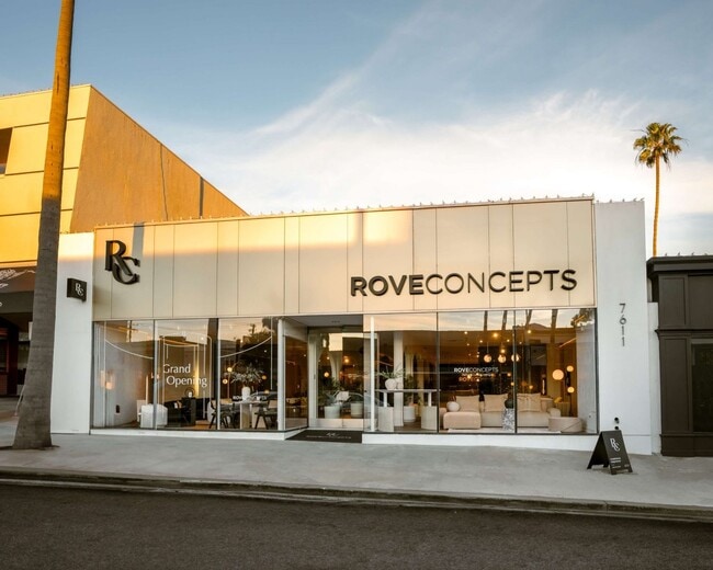
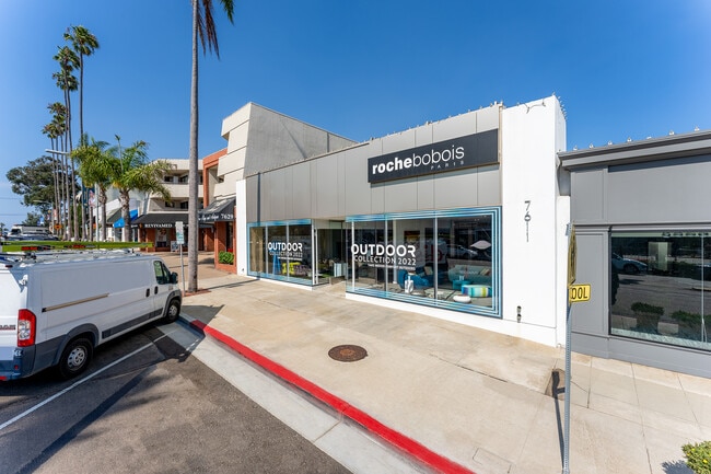
Property Record
7609 Girard Ave, La Jolla, CA 92037

Property Detail
7609 Girard Ave
350-481-07
BLK 23 LOTS 15 & 16 SLY 0.20 FT OF LOT 14 & ALL TR 000352
Storesoffices
San Diego
LJPD-1
California
B and X Area of moderate flood hazard, usually the area between the limits of the 100-year and 500-year floods.
14-16
2024
0.16 AC
2025
La Jolla/Torrey Pines
008201
San Diego
6,500 SF
San Diego-Chula Vista-Carlsbad, CA
NEARBY LISTINGS FOR SALE OR LEASE
DEMOGRAPHICS near 7609 Girard Ave
1 mile
3 mile
5 mile
2025 Total Population
11,754
55,201
182,339
2030 Population
12,337
56,465
185,539
Pop Growth 2025-2030
+ 4.96%
+ 2.29%
+ 1.75%
Average Age
51
45
39
2025 Total Households
5,598
24,372
76,756
HH Growth 2025-2030
+ 5.38%
+ 2.38%
+ 2.03%
Median Household Inc
$138,122
$152,172
$119,225
Avg Household Size
2.00
2.20
2.10
2025 Avg HH Vehicles
2.00
2.00
2.00
Median Home Value
$1,132,343
$1,112,748
$1,070,556
Median Year Built
1973
1973
1975
Nearby Places
Map Layers
Map Styles
 Street
 Aerial
Layers
 Traffic
 Biking
Places
Listings with unknown addresses are not visible on the map
- Restaurants
- Banks
- Shops
- Fitness
- Groceries
PUBLIC TRANSPORTATION
COMMUTER RAIL
Sorrento Valley (Coaster - San Diego North County Transit District (Coaster/Sprinter/Breeze))
Drive
Walk
Distance
Sorrento Valley (Coaster - San Diego North County Transit District (Coaster/Sprinter/Breeze))
14 min
7.7 mi
AIRPORT
San Diego International
Drive
Walk
Distance
San Diego International
18 min
11.7 mi
Freight Ports
Port of San Diego
Drive
Walk
Distance
Port of San Diego
23 min
16.0 mi
SALE & LEASE HISTORY
LISTING DATE
SALE/LEASE

Sep 21, 2022
For Lease
Nearby Properties
Address
Land Use
TOTAL SIZE
Lot Size
Zoning
Address
Land Use
TOTAL SIZE
Lot Size
Zoning
11.60 AC
RM-2-5
Address
Land Use
TOTAL SIZE
Lot Size
Zoning
14.94 AC
CC-1-3
Address
Land Use
TOTAL SIZE
Lot Size
Zoning
18.54 AC
CC-1-3
Address
Land Use
TOTAL SIZE
Lot Size
Zoning
5.90 AC
CO-1-2
Address
Land Use
TOTAL SIZE
Lot Size
Zoning
10.85 AC
RM-3-7
Address
Land Use
TOTAL SIZE
Lot Size
Zoning
8.50 AC
CO-1-2
Address
Land Use
TOTAL SIZE
Lot Size
Zoning
Address
Land Use
TOTAL SIZE
Lot Size
Zoning
49,209 SF
0.73 AC
LJPD-3
Address
Land Use
TOTAL SIZE
Lot Size
Zoning
2.38 AC
R-3
Address
Land Use
TOTAL SIZE
Lot Size
Zoning
5.23 AC
LJPD-5
Address
Land Use
TOTAL SIZE
Lot Size
Zoning
3.82 AC
LJPD-5
Address
Land Use
TOTAL SIZE
Lot Size
Zoning
14.02 AC
IP-2-1
Address
Land Use
TOTAL SIZE
Lot Size
Zoning
11.31 AC
LJPD-6
Address
Land Use
TOTAL SIZE
Lot Size
Zoning
7.09 AC
IP-2-1
Address
Land Use
TOTAL SIZE
Lot Size
Zoning
8.43 AC
RM-2-5
Address
Land Use
TOTAL SIZE
Lot Size
Zoning
63,420 SF
0.65 AC
LJPD-5A
Address
Land Use
TOTAL SIZE
Lot Size
Zoning
65,663 SF
1.58 AC
LJSPD-V
Address
Land Use
TOTAL SIZE
Lot Size
Zoning
0.48 AC
LJPD-3
Address
Land Use
TOTAL SIZE
Lot Size
Zoning
66,366 SF
0.48 AC
LJPD-3
Address
Land Use
TOTAL SIZE
Lot Size
Zoning
1.11 AC
LJPD-5
Address
Land Use
TOTAL SIZE
Lot Size
Zoning
60,921 SF
0.74 AC
LJPD-1A
Address
Land Use
TOTAL SIZE
Lot Size
Zoning
72,900 SF
0.63 AC
LJPD-1A
Address
Land Use
TOTAL SIZE
Lot Size
Zoning
68,000 SF
18.18 AC
LJSPD-PRF
Address
Land Use
TOTAL SIZE
Lot Size
Zoning
40,896 SF
0.56 AC
LJPD-1A
Address
Land Use
TOTAL SIZE
Lot Size
Zoning
46,480 SF
0.55 AC
LJPD-1A
Address
Land Use
TOTAL SIZE
Lot Size
Zoning
77,422 SF
1.75 AC
LJPD-6
Address
Land Use
TOTAL SIZE
Lot Size
Zoning
57,680 SF
0.31 AC
LJPD-3
Address
Land Use
TOTAL SIZE
Lot Size
Zoning
55,608 SF
23.99 AC
IP-2-1
Address
Land Use
TOTAL SIZE
Lot Size
Zoning
2,748 SF
7.51 AC
IP-2-1
Address
Land Use
TOTAL SIZE
Lot Size
Zoning
22,706 SF
0.54 AC
LJPD-1
The World's #1 Commercial Real Estate Marketplace
Connect with us
© 2026 CoStar Group
The information above has been obtained from sources believed reliable. While we do not doubt its accuracy we have not verified it and make no guarantee, warranty or representation about it. It is your responsibility to independently confirm its accuracy and completeness. Any projections, opinions, assumptions, or estimates used are for example only and do not represent the current or future performance of the property. The value of this transaction to you depends on tax and other factors which should be evaluated by your tax, financial, and legal advisors. You and your advisors should conduct a careful, independent investigation of the property to determine to your satisfaction the suitability of the property for your needs.