Property Record
7620 Ogontz Ave, Philadelphia, PA 19150

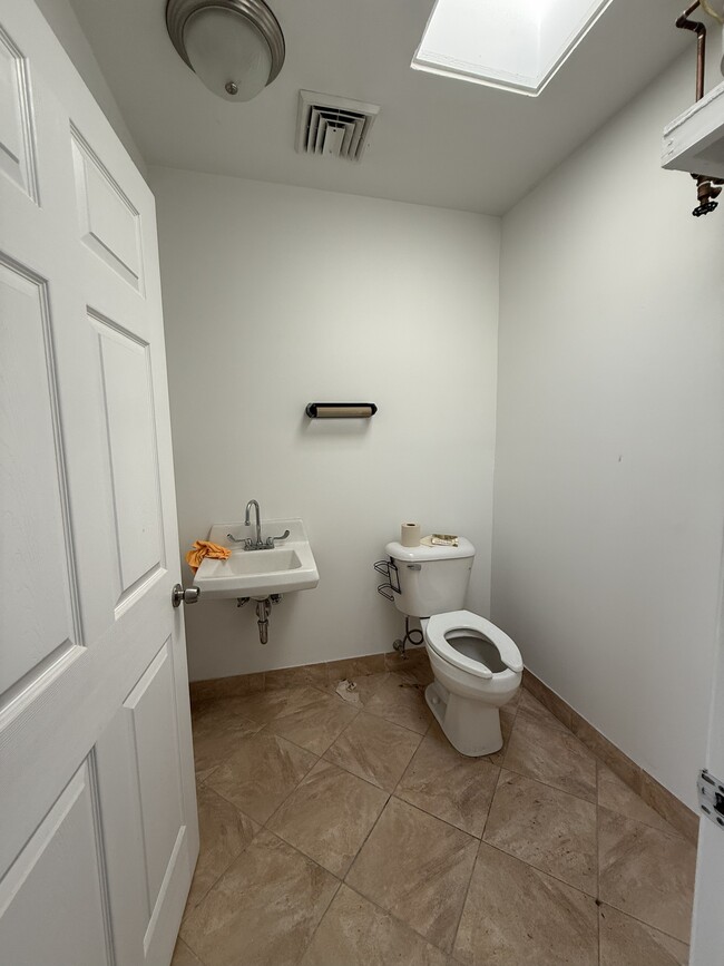
This Property Is For Sale
NEARBY LISTINGS FOR SALE OR LEASE
Property Detail
7620 Ogontz Ave
882016110
1825 1/4 N 76TH AVE
Medicalbuilding
Philadelphia
X
Pennsylvania
42091C0383G
206
2024
0.11 AC
2026
Northwest Philadelphia
026302
Philadelphia
5,950 SF
Philadelphia-Camden-Wilmington, PA-NJ-DE-MD
DEMOGRAPHICS near 7620 Ogontz Ave
1 Mile
3 Mile
5 Mile
2024 Total Population
42,858
237,938
566,974
2029 Population
42,142
233,279
552,783
Pop Growth 2024-2029
(1.67%)
(1.96%)
(2.50%)
Average Age
42
42
40
2024 Total Households
18,683
96,918
224,292
HH Growth 2024-2029
(1.28%)
(2.16%)
(2.62%)
Median Household Inc
$56,315
$59,144
$59,009
Avg Household Size
2.20
2.30
2.40
2024 Avg HH Vehicles
1.00
1.00
1.00
Median Home Value
$189,140
$234,926
$236,071
Median Year Built
1952
1949
1950
Nearby Places
Map Layers
Map Styles
 Street
 Aerial
- Restaurants
- Banks
- Shops
- Fitness
- Groceries
PUBLIC TRANSPORTATION
AIRPORT
Philadelphia International
DRIVE
WALK
Distance
Philadelphia International
38 min
20.7 mi
Nearby Properties
Address
Land Use
TOTAL SIZE
Lot Size
Zoning
Address
Land Use
TOTAL SIZE
Lot Size
Zoning
638,776 SF
20 AC
RM2
Address
Land Use
TOTAL SIZE
Lot Size
Zoning
2,146,150 SF
119.95 AC
M1
Address
Land Use
TOTAL SIZE
Lot Size
Zoning
22,648 SF
38.69 AC
RM3
Address
Land Use
TOTAL SIZE
Lot Size
Zoning
121,578 SF
3.13 AC
RSA3
Address
Land Use
TOTAL SIZE
Lot Size
Zoning
287,286 SF
1.26 AC
CMX5
Address
Land Use
TOTAL SIZE
Lot Size
Zoning
649,400 SF
55.03 AC
R1
Address
Land Use
TOTAL SIZE
Lot Size
Zoning
504,972 SF
16.30 AC
RM2
Address
Land Use
TOTAL SIZE
Lot Size
Zoning
415,059 SF
11.59 AC
RSD3
Address
Land Use
TOTAL SIZE
Lot Size
Zoning
211,200 SF
1.46 AC
CMX2
Address
Land Use
TOTAL SIZE
Lot Size
Zoning
300 AC
RSD1
Address
Land Use
TOTAL SIZE
Lot Size
Zoning
363,136 SF
16.47 AC
RSA3
Address
Land Use
TOTAL SIZE
Lot Size
Zoning
233,143 SF
24.24 AC
SPINS
Address
Land Use
TOTAL SIZE
Lot Size
Zoning
170,842 SF
16.51 AC
RSD1
Address
Land Use
TOTAL SIZE
Lot Size
Zoning
281,012 SF
32.58 AC
RSA5
Address
Land Use
TOTAL SIZE
Lot Size
Zoning
148,293 SF
7.45 AC
RM2
Address
Land Use
TOTAL SIZE
Lot Size
Zoning
705,687 SF
19.89 AC
C1
Address
Land Use
TOTAL SIZE
Lot Size
Zoning
263,000 SF
5.31 AC
RM2
Address
Land Use
TOTAL SIZE
Lot Size
Zoning
234,934 SF
43.63 AC
AA
Address
Land Use
TOTAL SIZE
Lot Size
Zoning
635,387 SF
10.12 AC
C1
Address
Land Use
TOTAL SIZE
Lot Size
Zoning
131,720 SF
4.33 AC
RM2
Address
Land Use
TOTAL SIZE
Lot Size
Zoning
3,104 SF
0.09 AC
RSA2
Address
Land Use
TOTAL SIZE
Lot Size
Zoning
135,423 SF
5.04 AC
RM3
Address
Land Use
TOTAL SIZE
Lot Size
Zoning
134,345 SF
25.45 AC
RSD1
Address
Land Use
TOTAL SIZE
Lot Size
Zoning
582,294 SF
9.07 AC
C1
Address
Land Use
TOTAL SIZE
Lot Size
Zoning
103,131 SF
0.19 AC
CMX3
Address
Land Use
TOTAL SIZE
Lot Size
Zoning
615,217 SF
33.52 AC
C2
Address
Land Use
TOTAL SIZE
Lot Size
Zoning
182,130 SF
6.45 AC
RSA3
Address
Land Use
TOTAL SIZE
Lot Size
Zoning
180,066 SF
59.77 AC
RSA3
Address
Land Use
TOTAL SIZE
Lot Size
Zoning
88,400 SF
1.79 AC
CMX2
Address
Land Use
TOTAL SIZE
Lot Size
Zoning
336,650 SF
61.74 AC
R3
The World's #1 Commercial Real Estate Marketplace
Connect with us
© 2026 CoStar Group
The information above has been obtained from sources believed reliable. While we do not doubt its accuracy we have not verified it and make no guarantee, warranty or representation about it. It is your responsibility to independently confirm its accuracy and completeness. Any projections, opinions, assumptions, or estimates used are for example only and do not represent the current or future performance of the property. The value of this transaction to you depends on tax and other factors which should be evaluated by your tax, financial, and legal advisors. You and your advisors should conduct a careful, independent investigation of the property to determine to your satisfaction the suitability of the property for your needs.