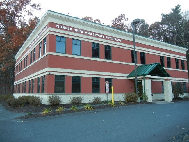
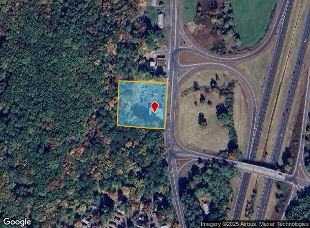
Property Record
766 N King St, Northampton, MA 01060

NEARBY LISTINGS FOR SALE OR LEASE
Property Detail
766 N King St
Amherst Town-Northampton, MA
Hampshire
NHAM-000008-000021-000001
Massachusetts
Officebuilding
1
2025
1.61 AC
2025
Hampshire County
821601
Hartford
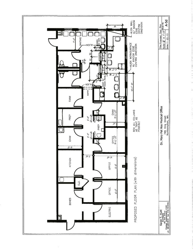
1,775 SF
DEMOGRAPHICS near 766 N King St
1 Mile
3 Mile
5 Mile
2024 Total Population
1,020
19,678
34,789
2029 Population
811
15,674
27,809
Pop Growth 2024-2029
(20.49%)
(20.35%)
(20.06%)
Average Age
50
43
44
2024 Total Households
480
8,239
15,048
HH Growth 2024-2029
(21.04%)
(22.43%)
(21.74%)
Median Household Inc
$82,083
$78,684
$79,367
Avg Household Size
2.00
2.00
2.10
2024 Avg HH Vehicles
2.00
2.00
2.00
Median Home Value
$372,595
$400,465
$389,652
Median Year Built
1969
1949
1957
Nearby Places
Map Layers
Map Styles
 Street
 Aerial
- Restaurants
- Banks
- Shops
- Fitness
- Groceries
PUBLIC TRANSPORTATION
COMMUTER RAIL
DRIVE
WALK
Distance
8 min
3.5 mi
AIRPORT
Bradley International
DRIVE
WALK
Distance
Bradley International
56 min
33.5 mi
SALE & LEASE HISTORY
LISTING DATE
SALE/LEASE

May 11, 2021
For Lease
May 11, 2017
For Lease
Dec 18, 2017
For Lease
Nearby Properties
Address
Land Use
TOTAL SIZE
Lot Size
Zoning
Address
Land Use
TOTAL SIZE
Lot Size
Zoning
476,724 SF
57.56 AC
I
Address
Land Use
TOTAL SIZE
Lot Size
Zoning
9,424 SF
17.24 AC
AR
Address
Land Use
TOTAL SIZE
Lot Size
Zoning
18.04 AC
URB
Address
Land Use
TOTAL SIZE
Lot Size
Zoning
61,650 SF
12.37 AC
B
Address
Land Use
TOTAL SIZE
Lot Size
Zoning
143,471 SF
22.12 AC
URA
Address
Land Use
TOTAL SIZE
Lot Size
Zoning
26.50 AC
URB
Address
Land Use
TOTAL SIZE
Lot Size
Zoning
12.23 AC
HB
Address
Land Use
TOTAL SIZE
Lot Size
Zoning
30.42 AC
URB
Address
Land Use
TOTAL SIZE
Lot Size
Zoning
7.58 AC
HB
Address
Land Use
TOTAL SIZE
Lot Size
Zoning
10.37 AC
HB
Address
Land Use
TOTAL SIZE
Lot Size
Zoning
243,012 SF
24.96 AC
URB
Address
Land Use
TOTAL SIZE
Lot Size
Zoning
0.12 AC
URC
Address
Land Use
TOTAL SIZE
Lot Size
Zoning
55,964 SF
0.36 AC
URC
Address
Land Use
TOTAL SIZE
Lot Size
Zoning
2.69 AC
URC
Address
Land Use
TOTAL SIZE
Lot Size
Zoning
21.77 AC
GI
Address
Land Use
TOTAL SIZE
Lot Size
Zoning
359,938 SF
38.84 AC
I
Address
Land Use
TOTAL SIZE
Lot Size
Zoning
1.77 AC
URC
Address
Land Use
TOTAL SIZE
Lot Size
Zoning
88,144 SF
0.35 AC
CB
Address
Land Use
TOTAL SIZE
Lot Size
Zoning
1.47 AC
URC
Address
Land Use
TOTAL SIZE
Lot Size
Zoning
98,482 SF
1.03 AC
CB
Address
Land Use
TOTAL SIZE
Lot Size
Zoning
131.99 AC
HB
Address
Land Use
TOTAL SIZE
Lot Size
Zoning
59,471 SF
35 AC
LGT
Address
Land Use
TOTAL SIZE
Lot Size
Zoning
2.51 AC
URC
Address
Land Use
TOTAL SIZE
Lot Size
Zoning
4.19 AC
HB
Address
Land Use
TOTAL SIZE
Lot Size
Zoning
80,161 SF
2.08 AC
URC
Address
Land Use
TOTAL SIZE
Lot Size
Zoning
2.51 AC
URC
Address
Land Use
TOTAL SIZE
Lot Size
Zoning
42,070 SF
4.38 AC
URA
Address
Land Use
TOTAL SIZE
Lot Size
Zoning
15,130 SF
2.60 AC
B
Address
Land Use
TOTAL SIZE
Lot Size
Zoning
5.36 AC
HB
Address
Land Use
TOTAL SIZE
Lot Size
Zoning
5.06 AC
URC
The World's #1 Commercial Real Estate Marketplace
Connect with us
© 2026 CoStar Group
The information above has been obtained from sources believed reliable. While we do not doubt its accuracy we have not verified it and make no guarantee, warranty or representation about it. It is your responsibility to independently confirm its accuracy and completeness. Any projections, opinions, assumptions, or estimates used are for example only and do not represent the current or future performance of the property. The value of this transaction to you depends on tax and other factors which should be evaluated by your tax, financial, and legal advisors. You and your advisors should conduct a careful, independent investigation of the property to determine to your satisfaction the suitability of the property for your needs.