Property Record
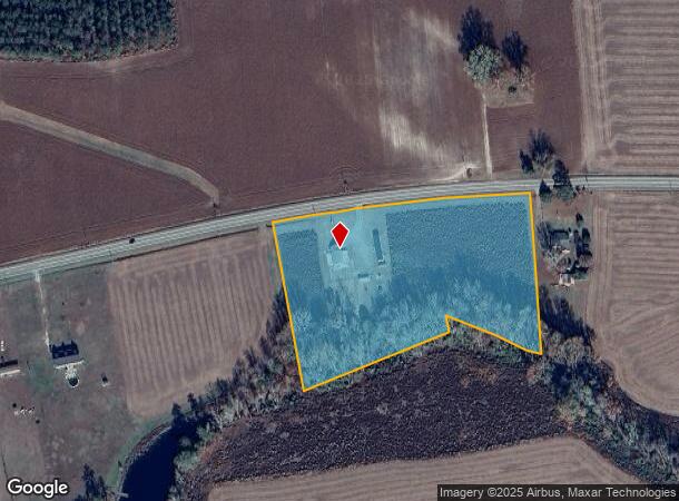
767 Nc 124 W, Macclesfield, NC 27852

NEARBY LISTINGS FOR SALE OR LEASE
Property Detail
767 Nc 124 W
4703-31-9531-00
LT 1 PC9S9 ALBERT RAY BATTS PL
Realpropertynec
Edgecombe
X
North Carolina
3720470300K
1
0
7 AC
2025
Rocky Mount/Wilson
021600
Other Market Areas
1,292 SF
Rocky Mount, NC
DEMOGRAPHICS near 767 Nc 124 W
1 Mile
3 Mile
5 Mile
2024 Total Population
234
2,613
4,849
2029 Population
220
2,426
4,555
Pop Growth 2024-2029
(5.98%)
(7.16%)
(6.06%)
Average Age
43
42
42
2024 Total Households
97
1,077
1,977
HH Growth 2024-2029
(6.19%)
(7.24%)
(6.07%)
Median Household Inc
$58,749
$51,530
$50,363
Avg Household Size
2.50
2.40
2.50
2024 Avg HH Vehicles
2.00
2.00
2.00
Median Home Value
$131,250
$116,009
$117,937
Median Year Built
1983
1981
1983
Nearby Places
Map Layers
Map Styles
 Street
 Aerial
- Restaurants
- Banks
- Shops
- Fitness
- Groceries
PUBLIC TRANSPORTATION
AIRPORT
Pitt-Greenville
DRIVE
WALK
Distance
Pitt-Greenville
32 min
20.9 mi
Freight Ports
Port of Morehead City
DRIVE
WALK
Distance
Port of Morehead City
158 min
106.0 mi
SALE & LEASE HISTORY
LISTING DATE
SALE/LEASE

Jun 26, 2023
For Sale
Nearby Properties
Address
Land Use
TOTAL SIZE
Lot Size
Zoning
Address
Land Use
TOTAL SIZE
Lot Size
Zoning
14,448 SF
23.14 AC
Address
Land Use
TOTAL SIZE
Lot Size
Zoning
34,492 SF
13 AC
R7
Address
Land Use
TOTAL SIZE
Lot Size
Zoning
11,676 SF
2.10 AC
R7
Address
Land Use
TOTAL SIZE
Lot Size
Zoning
1,112 SF
3.50 AC
AR20
Address
Land Use
TOTAL SIZE
Lot Size
Zoning
4,139 SF
6 AC
AR20
Address
Land Use
TOTAL SIZE
Lot Size
Zoning
4,200 SF
1.39 AC
B3
Address
Land Use
TOTAL SIZE
Lot Size
Zoning
9,301 SF
1 AC
Address
Land Use
TOTAL SIZE
Lot Size
Zoning
Address
Land Use
TOTAL SIZE
Lot Size
Zoning
1,500 SF
529.03 AC
Address
Land Use
TOTAL SIZE
Lot Size
Zoning
2,138 SF
47.85 AC
Address
Land Use
TOTAL SIZE
Lot Size
Zoning
6,520 SF
172.01 AC
Address
Land Use
TOTAL SIZE
Lot Size
Zoning
3,060 SF
1.36 AC
Address
Land Use
TOTAL SIZE
Lot Size
Zoning
7,094 SF
6.16 AC
Address
Land Use
TOTAL SIZE
Lot Size
Zoning
2,242 SF
10.02 AC
Address
Land Use
TOTAL SIZE
Lot Size
Zoning
14,563 SF
0.22 AC
R7
Address
Land Use
TOTAL SIZE
Lot Size
Zoning
1,502 SF
293.78 AC
Address
Land Use
TOTAL SIZE
Lot Size
Zoning
250.08 AC
Address
Land Use
TOTAL SIZE
Lot Size
Zoning
6,500 SF
4.22 AC
Address
Land Use
TOTAL SIZE
Lot Size
Zoning
6,116 SF
2.48 AC
Address
Land Use
TOTAL SIZE
Lot Size
Zoning
9,180 SF
0.91 AC
B3
Address
Land Use
TOTAL SIZE
Lot Size
Zoning
285.93 AC
Address
Land Use
TOTAL SIZE
Lot Size
Zoning
5,633 SF
1 AC
Address
Land Use
TOTAL SIZE
Lot Size
Zoning
440.47 AC
Address
Land Use
TOTAL SIZE
Lot Size
Zoning
6,092 SF
1.38 AC
Address
Land Use
TOTAL SIZE
Lot Size
Zoning
2,946 SF
6.02 AC
AR-30
Address
Land Use
TOTAL SIZE
Lot Size
Zoning
8,080 SF
1.01 AC
R7
Address
Land Use
TOTAL SIZE
Lot Size
Zoning
7,487 SF
0.72 AC
Address
Land Use
TOTAL SIZE
Lot Size
Zoning
203.26 AC
Address
Land Use
TOTAL SIZE
Lot Size
Zoning
2,626 SF
3.48 AC
Address
Land Use
TOTAL SIZE
Lot Size
Zoning
2,135 SF
17.68 AC
The World's #1 Commercial Real Estate Marketplace
Connect with us
© 2025 CoStar Group
The information above has been obtained from sources believed reliable. While we do not doubt its accuracy we have not verified it and make no guarantee, warranty or representation about it. It is your responsibility to independently confirm its accuracy and completeness. Any projections, opinions, assumptions, or estimates used are for example only and do not represent the current or future performance of the property. The value of this transaction to you depends on tax and other factors which should be evaluated by your tax, financial, and legal advisors. You and your advisors should conduct a careful, independent investigation of the property to determine to your satisfaction the suitability of the property for your needs.