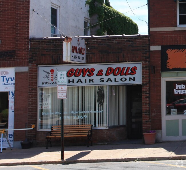
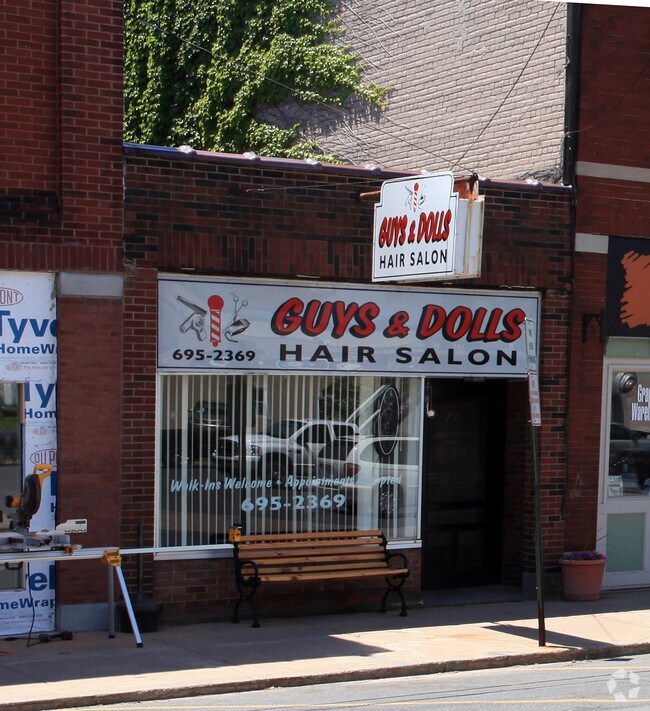
Property Record
77 State St, Phoenix, NY 13135
Property Detail
77 State St
Syracuse, NY
OSWEGO
355401-303-020-0012-015-000-0000
New York
Commercialofficeresidentialmixeduse
0.03 AC
B
Oswego County
B and X Area of moderate flood hazard, usually the area between the limits of the 100-year and 500-year floods.
Syracuse
1,102 SF
NEARBY LISTINGS FOR SALE OR LEASE
DEMOGRAPHICS near 77 State St
1 mile
3 mile
5 mile
2025 Total Population
2,528
8,728
31,995
2030 Population
2,490
8,641
31,854
Pop Growth 2025-2030
(1.50%)
(1.00%)
(0.44%)
Average Age
40
43
43
2025 Total Households
1,108
3,601
13,255
HH Growth 2025-2030
(1.53%)
(1.00%)
(0.51%)
Median Household Inc
$70,360
$97,608
$92,273
Avg Household Size
2.30
2.40
2.40
2025 Avg HH Vehicles
2.00
2.00
2.00
Median Home Value
$164,509
$233,502
$238,346
Median Year Built
1956
1977
1983
Nearby Places
Map Layers
Map Styles
 Street
 Aerial
Transit
 Traffic
 Biking
Places
Listings with unknown addresses are not visible on the map
- Restaurants
- Banks
- Shops
- Fitness
- Groceries
PUBLIC TRANSPORTATION
AIRPORT
Syracuse Hancock International
Drive
Walk
Distance
Syracuse Hancock International
25 min
16.5 mi
Nearby Properties
Address
Land Use
TOTAL SIZE
Lot Size
Zoning
Address
Land Use
TOTAL SIZE
Lot Size
Zoning
16.02 AC
I
Address
Land Use
TOTAL SIZE
Lot Size
Zoning
126,699 SF
15.40 AC
R-1
Address
Land Use
TOTAL SIZE
Lot Size
Zoning
4,066 SF
34.38 AC
R-1
Address
Land Use
TOTAL SIZE
Lot Size
Zoning
108,066 SF
25.57 AC
R-1
Address
Land Use
TOTAL SIZE
Lot Size
Zoning
94,738 SF
32.90 AC
R-1
Address
Land Use
TOTAL SIZE
Lot Size
Zoning
2,520 SF
16.28 AC
FED
Address
Land Use
TOTAL SIZE
Lot Size
Zoning
6.98 AC
R-2
Address
Land Use
TOTAL SIZE
Lot Size
Zoning
9,198 SF
6.59 AC
PUD
Address
Land Use
TOTAL SIZE
Lot Size
Zoning
17,628 SF
2.76 AC
PUD
Address
Land Use
TOTAL SIZE
Lot Size
Zoning
5,371 SF
154.56 AC
PUD
Address
Land Use
TOTAL SIZE
Lot Size
Zoning
3,600 SF
1.19 AC
IND
Address
Land Use
TOTAL SIZE
Lot Size
Zoning
4,483 SF
0.74 AC
B
Address
Land Use
TOTAL SIZE
Lot Size
Zoning
3,040 SF
5.03 AC
C-1
Address
Land Use
TOTAL SIZE
Lot Size
Zoning
65,320 SF
12.97 AC
C-1
Address
Land Use
TOTAL SIZE
Lot Size
Zoning
20,000 SF
4.35 AC
I
Address
Land Use
TOTAL SIZE
Lot Size
Zoning
30,000 SF
34.12 AC
R-2
Address
Land Use
TOTAL SIZE
Lot Size
Zoning
1,044.15 AC
OSP
Address
Land Use
TOTAL SIZE
Lot Size
Zoning
6,880 SF
2.03 AC
C-1
Address
Land Use
TOTAL SIZE
Lot Size
Zoning
1.32 AC
R-2
Address
Land Use
TOTAL SIZE
Lot Size
Zoning
5,736 SF
1.08 AC
PUD
Address
Land Use
TOTAL SIZE
Lot Size
Zoning
770 SF
92.28 AC
Address
Land Use
TOTAL SIZE
Lot Size
Zoning
7,780 SF
1.19 AC
PUD
Address
Land Use
TOTAL SIZE
Lot Size
Zoning
12.90 AC
R-1
Address
Land Use
TOTAL SIZE
Lot Size
Zoning
7,083 SF
2.52 AC
I
Address
Land Use
TOTAL SIZE
Lot Size
Zoning
13,552 SF
3.25 AC
R-1
Address
Land Use
TOTAL SIZE
Lot Size
Zoning
4,346 SF
1.09 AC
PUD
Address
Land Use
TOTAL SIZE
Lot Size
Zoning
7,000 SF
4.56 AC
I
Address
Land Use
TOTAL SIZE
Lot Size
Zoning
5,878 SF
4.17 AC
RM
Address
Land Use
TOTAL SIZE
Lot Size
Zoning
7,392 SF
1.08 AC
R-2
Address
Land Use
TOTAL SIZE
Lot Size
Zoning
1,800 SF
24 AC
I
The World's #1 Commercial Real Estate Marketplace
Connect with us
© 2026 CoStar Group
The information above has been obtained from sources believed reliable. While we do not doubt its accuracy we have not verified it and make no guarantee, warranty or representation about it. It is your responsibility to independently confirm its accuracy and completeness. Any projections, opinions, assumptions, or estimates used are for example only and do not represent the current or future performance of the property. The value of this transaction to you depends on tax and other factors which should be evaluated by your tax, financial, and legal advisors. You and your advisors should conduct a careful, independent investigation of the property to determine to your satisfaction the suitability of the property for your needs.