Property Record
770 Broyhill Rd, Rutherfordton, NC 28139


Property Detail
770 Broyhill Rd
1651603
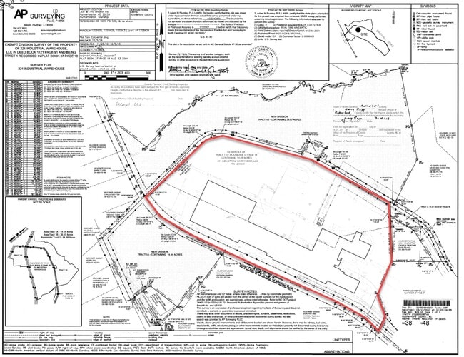
PL:37-57
Distributionwarehouseregional
RUTHERFORD
B and X Area of moderate flood hazard, usually the area between the limits of the 100-year and 500-year floods.
North Carolina
2025
41.90 AC
2025
North Carolina West/Cherokee Area
960502
Other Market Areas
421,200 SF
Forest City, NC
NEARBY LISTINGS FOR SALE OR LEASE
-
-
View all Rutherfordton listings for lease on LoopNet.com
DEMOGRAPHICS near 770 Broyhill Rd
1 mile
3 mile
5 mile
2025 Total Population
549
7,960
16,815
2030 Population
559
8,108
17,097
Pop Growth 2025-2030
+ 1.82%
+ 1.86%
+ 1.68%
Average Age
44
44
44
2025 Total Households
204
3,299
6,868
HH Growth 2025-2030
+ 1.96%
+ 1.82%
+ 1.66%
Median Household Inc
$53,823
$42,760
$45,119
Avg Household Size
2.50
2.30
2.30
2025 Avg HH Vehicles
2.00
2.00
2.00
Median Home Value
$215,909
$193,047
$212,147
Median Year Built
1975
1980
1978
Nearby Places
Map Layers
Map Styles
 Street
 Aerial
Layers
 Traffic
 Biking
Places
Listings with unknown addresses are not visible on the map
- Restaurants
- Banks
- Shops
- Fitness
- Groceries
SALE & LEASE HISTORY
LISTING DATE
SALE/LEASE

Mar 25, 2020
For Sale
Jul 24, 2020
For Lease
Nearby Properties
Address
Land Use
TOTAL SIZE
Lot Size
Zoning
Address
Land Use
TOTAL SIZE
Lot Size
Zoning
334,081 SF
94.10 AC
Address
Land Use
TOTAL SIZE
Lot Size
Zoning
168,615 SF
27.34 AC
CIV
Address
Land Use
TOTAL SIZE
Lot Size
Zoning
29,884 SF
54.60 AC
Address
Land Use
TOTAL SIZE
Lot Size
Zoning
1,408 SF
6.95 AC
R20
Address
Land Use
TOTAL SIZE
Lot Size
Zoning
47,910 SF
26.19 AC
Address
Land Use
TOTAL SIZE
Lot Size
Zoning
2,026 SF
8.71 AC
R6
Address
Land Use
TOTAL SIZE
Lot Size
Zoning
210,000 SF
54.75 AC
Address
Land Use
TOTAL SIZE
Lot Size
Zoning
7,424 SF
6.39 AC
IND
Address
Land Use
TOTAL SIZE
Lot Size
Zoning
53,790 SF
6.37 AC
R6
Address
Land Use
TOTAL SIZE
Lot Size
Zoning
10,366 SF
1.22 AC
CIV
Address
Land Use
TOTAL SIZE
Lot Size
Zoning
19,530 SF
1.50 AC
CIV
Address
Land Use
TOTAL SIZE
Lot Size
Zoning
34,861 SF
4.38 AC
CIV
Address
Land Use
TOTAL SIZE
Lot Size
Zoning
17,622 SF
5.14 AC
MS
Address
Land Use
TOTAL SIZE
Lot Size
Zoning
53,860 SF
15.88 AC
CIV
Address
Land Use
TOTAL SIZE
Lot Size
Zoning
7,367 SF
0.64 AC
CIV
Address
Land Use
TOTAL SIZE
Lot Size
Zoning
42,360 SF
CIV
Address
Land Use
TOTAL SIZE
Lot Size
Zoning
42,480 SF
3.90 AC
CIV
Address
Land Use
TOTAL SIZE
Lot Size
Zoning
27,402 SF
0.09 AC
C1
Address
Land Use
TOTAL SIZE
Lot Size
Zoning
10,926 SF
20 AC
R20
Address
Land Use
TOTAL SIZE
Lot Size
Zoning
2,132 SF
180.97 AC
Address
Land Use
TOTAL SIZE
Lot Size
Zoning
94,300 SF
Address
Land Use
TOTAL SIZE
Lot Size
Zoning
30,875 SF
4.61 AC
Address
Land Use
TOTAL SIZE
Lot Size
Zoning
11,200 SF
1.60 AC
C-74
Address
Land Use
TOTAL SIZE
Lot Size
Zoning
17,918 SF
26.36 AC
Address
Land Use
TOTAL SIZE
Lot Size
Zoning
10,572 SF
2.24 AC
Address
Land Use
TOTAL SIZE
Lot Size
Zoning
18,880 SF
0.53 AC
CIV
Address
Land Use
TOTAL SIZE
Lot Size
Zoning
34,404 SF
6.87 AC
Address
Land Use
TOTAL SIZE
Lot Size
Zoning
7,920 SF
2.72 AC
SFR-2
Address
Land Use
TOTAL SIZE
Lot Size
Zoning
178,146 SF
45.98 AC
MU-2
The World's #1 Commercial Real Estate Marketplace
Connect with us
© 2026 CoStar Group
The information above has been obtained from sources believed reliable. While we do not doubt its accuracy we have not verified it and make no guarantee, warranty or representation about it. It is your responsibility to independently confirm its accuracy and completeness. Any projections, opinions, assumptions, or estimates used are for example only and do not represent the current or future performance of the property. The value of this transaction to you depends on tax and other factors which should be evaluated by your tax, financial, and legal advisors. You and your advisors should conduct a careful, independent investigation of the property to determine to your satisfaction the suitability of the property for your needs.